1430 Shankles Rd Gentry, AR 72734
Estimated Value: $318,000 - $533,000
--
Bed
2
Baths
2,588
Sq Ft
$173/Sq Ft
Est. Value
About This Home
This home is located at 1430 Shankles Rd, Gentry, AR 72734 and is currently estimated at $447,766, approximately $173 per square foot. 1430 Shankles Rd is a home located in Benton County with nearby schools including Gentry Intermediate School, Gentry Primary School, and Gentry Middle School.
Ownership History
Date
Name
Owned For
Owner Type
Purchase Details
Closed on
Feb 21, 2014
Sold by
Stout Michael Eugene
Bought by
Wesson Katrena Michelle
Current Estimated Value
Purchase Details
Closed on
Jul 15, 2008
Sold by
Hornberger Jeff and Hornberger Tracey
Bought by
Stout Michael and Stout Katrena
Purchase Details
Closed on
Apr 6, 2004
Bought by
Hornberger
Purchase Details
Closed on
Mar 31, 2003
Bought by
Parsons
Purchase Details
Closed on
Mar 24, 2003
Bought by
Hornberger
Purchase Details
Closed on
Aug 3, 1995
Bought by
Hornberger
Create a Home Valuation Report for This Property
The Home Valuation Report is an in-depth analysis detailing your home's value as well as a comparison with similar homes in the area
Home Values in the Area
Average Home Value in this Area
Purchase History
| Date | Buyer | Sale Price | Title Company |
|---|---|---|---|
| Wesson Katrena Michelle | -- | None Available | |
| Stout Michael | $245,000 | First National Title Company | |
| Hornberger | -- | -- | |
| Parsons | $80,000 | -- | |
| Hornberger | -- | -- | |
| Hornberger | $69,000 | -- |
Source: Public Records
Tax History Compared to Growth
Tax History
| Year | Tax Paid | Tax Assessment Tax Assessment Total Assessment is a certain percentage of the fair market value that is determined by local assessors to be the total taxable value of land and additions on the property. | Land | Improvement |
|---|---|---|---|---|
| 2025 | $2,277 | $52,660 | $21,000 | $31,660 |
| 2024 | $2,151 | $52,660 | $21,000 | $31,660 |
| 2023 | $2,048 | $51,210 | $15,000 | $36,210 |
| 2022 | $1,686 | $51,210 | $15,000 | $36,210 |
| 2021 | $1,584 | $51,210 | $15,000 | $36,210 |
| 2020 | $1,590 | $33,650 | $8,820 | $24,830 |
| 2019 | $1,590 | $33,650 | $8,820 | $24,830 |
| 2018 | $1,615 | $33,650 | $8,820 | $24,830 |
| 2017 | $1,615 | $33,650 | $8,820 | $24,830 |
| 2016 | $1,615 | $33,650 | $8,820 | $24,830 |
| 2015 | $1,844 | $38,320 | $8,400 | $29,920 |
| 2014 | $1,494 | $38,320 | $8,400 | $29,920 |
Source: Public Records
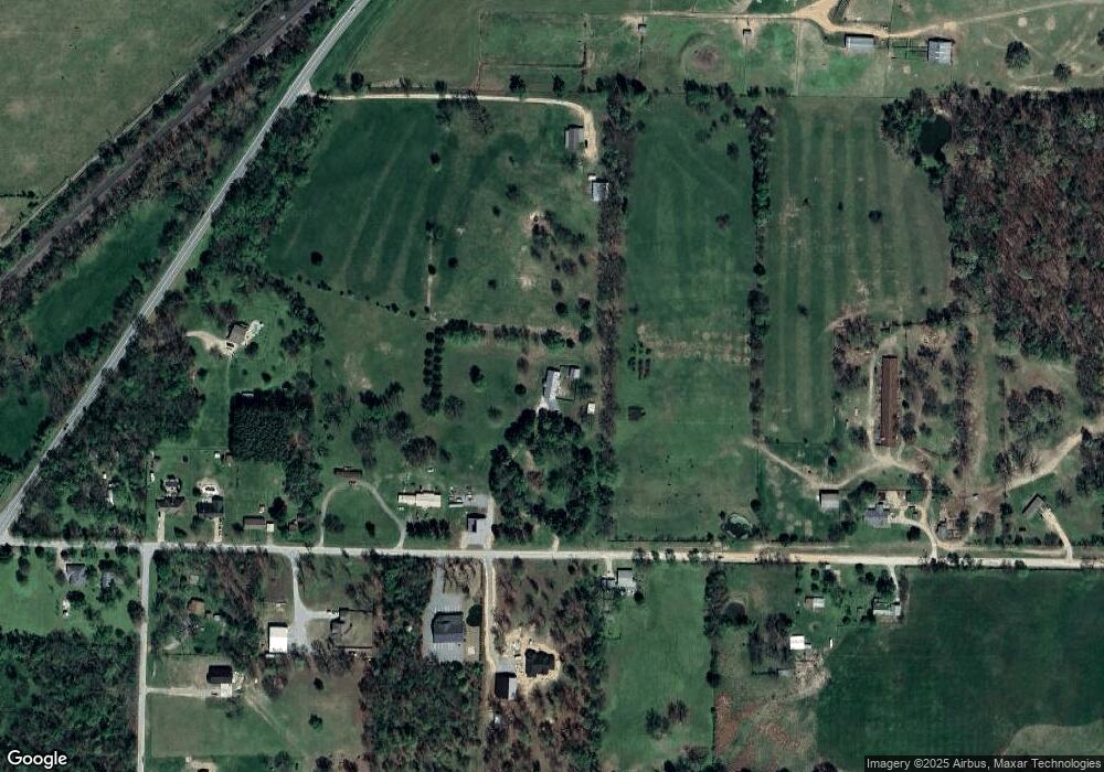
Map
Nearby Homes
- 1400 Shankles Rd
- 1392 E Crawford St
- . S Highway 59
- 12041 N Robin Rd
- 1298 E Main St
- 1508 Taylor Orchard Rd
- 18955 Shankle Rd
- 19161 Old Springtown Rd
- 00 Highway 12
- 2630 NW Peterson Rd
- 2620 NW Peterson Rd
- 2610 NW Peterson Rd
- 2600 NW Peterson Rd
- 2540 NW Peterson Rd
- 2530 NW Peterson Rd
- 2520 NW Peterson Rd
- 9.09 Acres E 3rd St Hwy 12
- 0 Peterson Rd Unit 1322195
- Rc Morgan Plan at Crowder
- RC Kinsley II Plan at Crowder
- 1556 Shankles Rd
- 1442 Shankle Rd
- 19597 Shankle Rd
- 0 Shankle Rd
- 713 Buffalo Ave
- 700 Buffalo Ave
- 705 Buffalo Ave
- 715 Buffalo Ave
- 4AC E Shankles Rd
- 11030 S Highway 59
- 1617 Shankles Rd
- 1417 Shankles Rd
- 19508 Shankle Rd
- 1376 Shankles Rd
- 13AC E Crawford & Shankles Rd
- 1374 Shankles Rd
- 19511 Shankle Rd
- 720 N Robin Rd
- 4.5AC Lot 8 E Crawford Rd
- 4.5AC Lot 7 E Crawford Rd