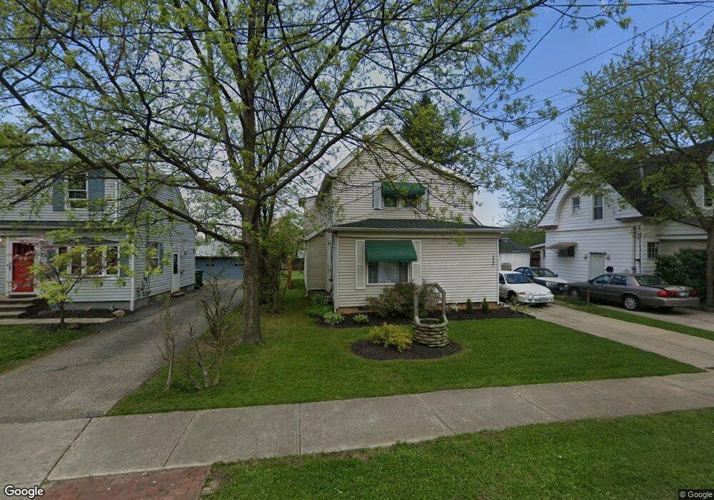
14301 Maple Ave Maple Heights, OH 44137
Estimated Value: $116,000 - $138,000
5
Beds
2
Baths
1,608
Sq Ft
$79/Sq Ft
Est. Value
About This Home
This home is located at 14301 Maple Ave, Maple Heights, OH 44137 and is currently estimated at $127,620, approximately $79 per square foot. 14301 Maple Ave is a home located in Cuyahoga County with nearby schools including Abraham Lincoln Elementary School, Rockside/ J.F. Kennedy School, and Barack Obama School.
Ownership History
Date
Name
Owned For
Owner Type
Purchase Details
Closed on
Jul 2, 1982
Sold by
Mcveigh John D and V A
Bought by
Welms Donald F
Current Estimated Value
Purchase Details
Closed on
Jan 1, 1975
Bought by
Mcveigh John D and Mcveigh A
Create a Home Valuation Report for This Property
The Home Valuation Report is an in-depth analysis detailing your home's value as well as a comparison with similar homes in the area
Home Values in the Area
Average Home Value in this Area
Purchase History
| Date | Buyer | Sale Price | Title Company |
|---|---|---|---|
| Welms Donald F | $37,000 | -- | |
| Mcveigh John D | -- | -- |
Source: Public Records
Tax History
| Year | Tax Paid | Tax Assessment Tax Assessment Total Assessment is a certain percentage of the fair market value that is determined by local assessors to be the total taxable value of land and additions on the property. | Land | Improvement |
|---|---|---|---|---|
| 2024 | $2,948 | $32,200 | $7,105 | $25,095 |
| 2023 | $2,456 | $23,070 | $3,220 | $19,850 |
| 2022 | $3,045 | $29,720 | $4,170 | $25,550 |
| 2021 | $3,254 | $29,720 | $4,170 | $25,550 |
| 2020 | $2,762 | $22,510 | $3,150 | $19,360 |
| 2019 | $2,750 | $64,300 | $9,000 | $55,300 |
| 2018 | $2,682 | $22,510 | $3,150 | $19,360 |
| 2017 | $2,824 | $22,820 | $3,990 | $18,830 |
| 2016 | $2,733 | $22,820 | $3,990 | $18,830 |
| 2015 | $3,704 | $22,820 | $3,990 | $18,830 |
| 2014 | $3,704 | $23,520 | $4,130 | $19,390 |
Source: Public Records
Map
Nearby Homes
- 5220 Forest Ave
- 5179 Milo Ave
- 14305 Granger Rd
- 14510 Granger Rd
- 14512 Granger Rd
- 5270 E 135th St
- 4955 E 141st St
- 13704 Linn Ave
- 13417 Granger Rd
- 15095 Granger Rd
- 5408 Roland Dr
- 13719 Wolf Ave
- 5365 E 131st St
- 5353 E 129th St
- 5380 E 131st St
- 16101 Raymond St
- 13009 Willard Ave
- 16174 Friendly St
- 13008 Willard Ave
- 16241 Glenburn Ave
- 14221 Maple Ave
- 14305 Maple Ave
- 14275 Maple Ave
- 5190 Beech Ave
- 14309 Maple Ave
- 5194 Beech Ave
- 5198 Beech Ave
- 14317 Maple Ave
- 5202 Beech Ave
- 14323 Maple Ave
- 14306 Maple Ave
- 5206 Beech Ave
- 5210 Beech Ave
- 14331 Maple Ave
- 14149 Maple Ave
- 14336 Maple Ave
- 5212 Beech Ave
- 14335 Maple Ave
- 5190 Forest Ave
- 5223 Forest Ave
Your Personal Tour Guide
Ask me questions while you tour the home.