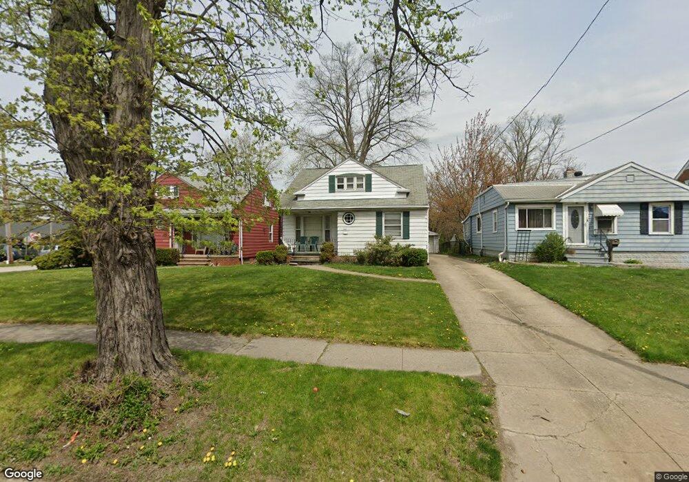
14307 Granger Rd Maple Heights, OH 44137
Estimated Value: $121,000 - $173,000
3
Beds
2
Baths
1,272
Sq Ft
$106/Sq Ft
Est. Value
About This Home
This home is located at 14307 Granger Rd, Maple Heights, OH 44137 and is currently estimated at $135,024, approximately $106 per square foot. 14307 Granger Rd is a home located in Cuyahoga County with nearby schools including Abraham Lincoln Elementary School, Rockside/ J.F. Kennedy School, and Barack Obama School.
Ownership History
Date
Name
Owned For
Owner Type
Purchase Details
Closed on
Jun 11, 2011
Sold by
Kovalec Steven
Bought by
Edwards Cynthia
Current Estimated Value
Home Financials for this Owner
Home Financials are based on the most recent Mortgage that was taken out on this home.
Original Mortgage
$57,504
Outstanding Balance
$39,865
Interest Rate
4.75%
Mortgage Type
FHA
Estimated Equity
$95,159
Purchase Details
Closed on
Sep 25, 2001
Sold by
Estate Of Joseph G Zitko
Bought by
Zitko Alice L
Purchase Details
Closed on
Jan 1, 1975
Bought by
Zitko Joseph G and Zitko Alice L
Create a Home Valuation Report for This Property
The Home Valuation Report is an in-depth analysis detailing your home's value as well as a comparison with similar homes in the area
Home Values in the Area
Average Home Value in this Area
Purchase History
| Date | Buyer | Sale Price | Title Company |
|---|---|---|---|
| Edwards Cynthia | $59,000 | Progressive Land Title Ag | |
| Zitko Alice L | -- | -- | |
| Zitko Joseph G | -- | -- |
Source: Public Records
Mortgage History
| Date | Status | Borrower | Loan Amount |
|---|---|---|---|
| Open | Edwards Cynthia | $57,504 |
Source: Public Records
Tax History
| Year | Tax Paid | Tax Assessment Tax Assessment Total Assessment is a certain percentage of the fair market value that is determined by local assessors to be the total taxable value of land and additions on the property. | Land | Improvement |
|---|---|---|---|---|
| 2024 | $3,736 | $40,915 | $6,440 | $34,475 |
| 2023 | $2,804 | $26,150 | $4,030 | $22,120 |
| 2022 | $2,794 | $26,150 | $4,030 | $22,120 |
| 2021 | $2,984 | $26,150 | $4,030 | $22,120 |
| 2020 | $2,541 | $19,810 | $3,050 | $16,770 |
| 2019 | $2,529 | $56,600 | $8,700 | $47,900 |
| 2018 | $2,465 | $19,810 | $3,050 | $16,770 |
| 2017 | $2,597 | $20,100 | $3,890 | $16,210 |
| 2016 | $2,512 | $20,100 | $3,890 | $16,210 |
| 2015 | $2,391 | $20,100 | $3,890 | $16,210 |
| 2014 | $2,391 | $20,720 | $3,990 | $16,730 |
Source: Public Records
Map
Nearby Homes
- 14305 Granger Rd
- 5179 Milo Ave
- 14510 Granger Rd
- 14512 Granger Rd
- 5220 Forest Ave
- 13704 Linn Ave
- 5408 Roland Dr
- 13719 Wolf Ave
- 5270 E 135th St
- 13417 Granger Rd
- 15095 Granger Rd
- 5380 E 131st St
- 5353 E 129th St
- 13009 Willard Ave
- 13008 Willard Ave
- 4955 E 141st St
- 13116 Oak Park Blvd
- 13206 Shady Oak Blvd
- 13917 Maple Leaf Dr
- 14818 Reddington Ave
- 14309 Granger Rd
- 14313 Granger Rd
- 5271 Forest Ave
- 5278 Beech Ave
- 14321 Granger Rd
- 5270 Beech Ave
- 5261 Forest Ave
- 5270 Forest Ave
- 5268 Beech Ave
- 14204 Granger Rd
- 14200 Granger Rd
- 5266 Forest Ave
- 5262 Beech Ave
- 14320 Granger Rd
- 5257 Forest Ave
- 14325 Granger Rd
- 5258 Beech Ave
- 5255 Forest Ave
- 5258 Forest Ave
- 14181 Granger Rd
Your Personal Tour Guide
Ask me questions while you tour the home.