Estimated Value: $367,000 - $419,000
4
Beds
3
Baths
2,624
Sq Ft
$148/Sq Ft
Est. Value
About This Home
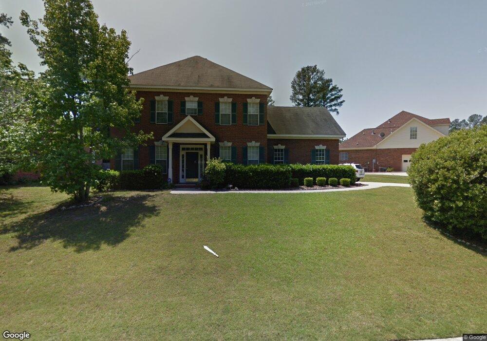
This home is located at 1431 Andover Ct, Evans, GA 30809 and is currently estimated at $387,268, approximately $147 per square foot. 1431 Andover Ct is a home located in Columbia County with nearby schools including Tohopekaliga High School, Riverside Elementary School, and Howell L. Watkins Middle School.
Ownership History
Date
Name
Owned For
Owner Type
Purchase Details
Closed on
Nov 17, 2004
Sold by
Kostromin Raymond
Bought by
Ducluzeau Lionel
Current Estimated Value
Home Financials for this Owner
Home Financials are based on the most recent Mortgage that was taken out on this home.
Original Mortgage
$185,750
Outstanding Balance
$92,634
Interest Rate
5.77%
Mortgage Type
Purchase Money Mortgage
Estimated Equity
$294,634
Purchase Details
Closed on
Sep 20, 2002
Sold by
Kostromin Kimberly A
Bought by
Kostromin Raymond
Home Financials for this Owner
Home Financials are based on the most recent Mortgage that was taken out on this home.
Original Mortgage
$181,700
Interest Rate
6.5%
Mortgage Type
VA
Create a Home Valuation Report for This Property
The Home Valuation Report is an in-depth analysis detailing your home's value as well as a comparison with similar homes in the area
Home Values in the Area
Average Home Value in this Area
Purchase History
| Date | Buyer | Sale Price | Title Company |
|---|---|---|---|
| Ducluzeau Lionel | $206,400 | -- | |
| Kostromin Raymond | -- | -- |
Source: Public Records
Mortgage History
| Date | Status | Borrower | Loan Amount |
|---|---|---|---|
| Open | Ducluzeau Lionel | $185,750 | |
| Previous Owner | Kostromin Raymond | $181,700 |
Source: Public Records
Tax History Compared to Growth
Tax History
| Year | Tax Paid | Tax Assessment Tax Assessment Total Assessment is a certain percentage of the fair market value that is determined by local assessors to be the total taxable value of land and additions on the property. | Land | Improvement |
|---|---|---|---|---|
| 2025 | $3,512 | $144,839 | $29,904 | $114,935 |
| 2024 | $3,654 | $143,917 | $29,304 | $114,613 |
| 2023 | $3,654 | $135,813 | $28,004 | $107,809 |
| 2022 | $3,224 | $121,842 | $25,904 | $95,938 |
| 2021 | $2,820 | $101,571 | $20,804 | $80,767 |
| 2020 | $2,655 | $93,533 | $19,004 | $74,529 |
| 2019 | $2,610 | $91,884 | $19,804 | $72,080 |
| 2018 | $2,554 | $89,570 | $18,404 | $71,166 |
| 2017 | $2,566 | $89,697 | $17,704 | $71,993 |
| 2016 | $2,375 | $85,951 | $17,580 | $68,371 |
| 2015 | $2,252 | $81,239 | $16,480 | $64,759 |
| 2014 | $2,287 | $81,495 | $17,480 | $64,015 |
Source: Public Records
Map
Nearby Homes
- 5049 Sussex Dr
- 4533 Glastonbury Dr
- 4537 Bellingham Ct
- 203 Bainbridge Dr
- 4998 Sussex Dr
- 5008 Sussex Dr
- 1127 Midford Ct
- 310 Barnsley Dr
- 327 Barnsley Dr
- 337 Gardenia Dr
- 4346 Azalea Dr
- 2008 Rivershyre Dr
- 1259 Hardy Pointe Dr
- 5033 Hardy McManus Rd
- 4599 Hardy McManus Rd
- 642 River Oaks Ln
- 1031,1041 Hardy Lake Rd
- 717 Ashepoo Ct
- 529 River Oaks Ln
- 1182 Waltons Pass Unit 7013
- 1427 Andover Ct
- 1435 Andover Ct
- 4456 Andover Dr
- 1425 Andover Ct
- 1434 Andover Ct
- 4455 Andover Dr
- 1437 Andover Ct
- 1436 Andover Ct
- 1432 Andover Ct
- 1430 Andover Ct
- 1438 Andover Ct
- 1428 Andover Ct
- 1421 Andover Ct
- 4458 Andover Dr
- 1439 Andover Ct
- 1426 Andover Ct
- 4457 Andover Dr
- 1440 Andover Ct
- 1419 Andover Ct
- 1424 Andover Ct