1431 Harbor Pointe Dr Salt Lake City, UT 84123
Estimated Value: $293,000 - $346,000
2
Beds
2
Baths
1,262
Sq Ft
$260/Sq Ft
Est. Value
About This Home
This home is located at 1431 Harbor Pointe Dr, Salt Lake City, UT 84123 and is currently estimated at $328,302, approximately $260 per square foot. 1431 Harbor Pointe Dr is a home located in Salt Lake County with nearby schools including Plymouth Elementary School, Eisenhower Jr High School, and Taylorsville High School.
Ownership History
Date
Name
Owned For
Owner Type
Purchase Details
Closed on
May 23, 2008
Sold by
Argyle Wesley G
Bought by
Hedman Jennifer
Current Estimated Value
Home Financials for this Owner
Home Financials are based on the most recent Mortgage that was taken out on this home.
Original Mortgage
$165,404
Outstanding Balance
$105,405
Interest Rate
6%
Mortgage Type
FHA
Estimated Equity
$222,897
Purchase Details
Closed on
Aug 11, 2000
Sold by
Elliott Lavon T
Bought by
Elliott Lavon T and The Lavon T Elliott Family Trust
Create a Home Valuation Report for This Property
The Home Valuation Report is an in-depth analysis detailing your home's value as well as a comparison with similar homes in the area
Home Values in the Area
Average Home Value in this Area
Purchase History
| Date | Buyer | Sale Price | Title Company |
|---|---|---|---|
| Hedman Jennifer | -- | Mountain View Title & Escrow | |
| Elliott Lavon T | -- | Mountain View Title & Escrow |
Source: Public Records
Mortgage History
| Date | Status | Borrower | Loan Amount |
|---|---|---|---|
| Open | Hedman Jennifer | $165,404 | |
| Closed | Hedman Jennifer | $5,000 |
Source: Public Records
Tax History Compared to Growth
Tax History
| Year | Tax Paid | Tax Assessment Tax Assessment Total Assessment is a certain percentage of the fair market value that is determined by local assessors to be the total taxable value of land and additions on the property. | Land | Improvement |
|---|---|---|---|---|
| 2025 | $2,118 | $361,000 | $108,300 | $252,700 |
| 2024 | $2,118 | $347,400 | $104,200 | $243,200 |
| 2023 | $2,097 | $337,300 | $101,200 | $236,100 |
| 2022 | $2,362 | $383,300 | $115,000 | $268,300 |
| 2021 | $1,880 | $265,700 | $79,700 | $186,000 |
| 2020 | $1,810 | $242,100 | $72,600 | $169,500 |
| 2019 | $1,704 | $222,500 | $66,700 | $155,800 |
| 2018 | $1,504 | $189,300 | $56,800 | $132,500 |
| 2017 | $1,305 | $172,700 | $51,800 | $120,900 |
| 2016 | $1,185 | $156,700 | $47,000 | $109,700 |
| 2015 | $1,206 | $149,100 | $44,700 | $104,400 |
| 2014 | $1,216 | $147,600 | $44,300 | $103,300 |
Source: Public Records
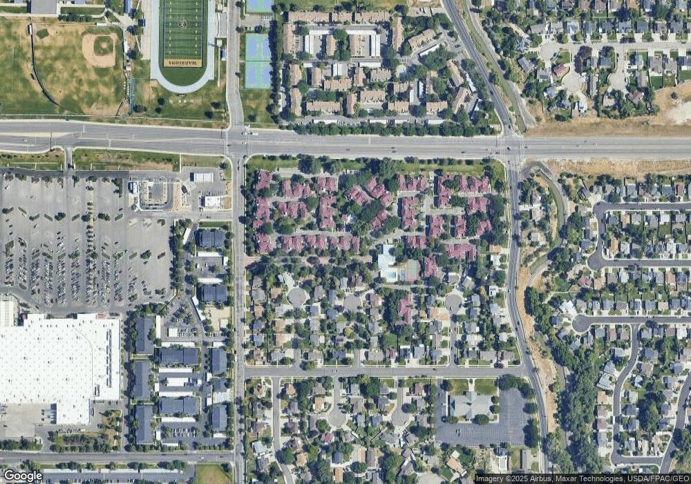
Map
Nearby Homes
- 5435 S Break Water Dr
- 1380 W Ocean Ct
- 1334 Portside Way Unit 165
- 1370 W Telegraph Hill Dr
- 5449 S Coastal Ct
- 1401 Beacon Hill Dr Unit 118
- 1381 Beacon Hill Dr
- 1273 W Brister Dr
- 5020 S 1250 W
- 5920 S 1300 W
- 1886 W Champagne Ave
- 1475 W 4950 S
- 5552 Hew Wood Dr
- 2016 W Hew Wood Ct
- 2001 W 5540 S
- 903 W Bullion St
- 913 W Bullion St Unit 10
- 1045 W Turnberry Cove Unit 16
- 1342 W Morning Sun Dr Unit 2
- Sargent Plan at The Gallery at Bullion - Single Family Homes
- 1429 Harbor Pointe Dr Unit 28
- 1433 Harbor Pointe Dr Unit 30
- 1429 W Harbor Pointe Dr Unit 28
- 5455 S Spinnaker Row
- 5457 S Spinnaker Row Unit 2
- 5457 S Spinnaker Row Unit 2
- 5457 S Spinnaker Row
- 5449 S Spinnaker Row
- 5449 S Spinnaker Row
- 1467 Harbor Pointe Dr Unit 44
- 1427 W Harbor Pointe Dr Unit 27
- 1427 W Harbor Pointe Dr
- 1469 Harbor Pointe Dr
- 1427 Harbor Pointe Dr Unit 27
- 1423 Harbor Pointe Dr
- 1463 W Harbor Pointe Dr
- 5450 S Spinnaker Row
- 5450 Spinnaker Row
- 1463 Harbor Pointe Dr
- 5433 S Spinnaker Row