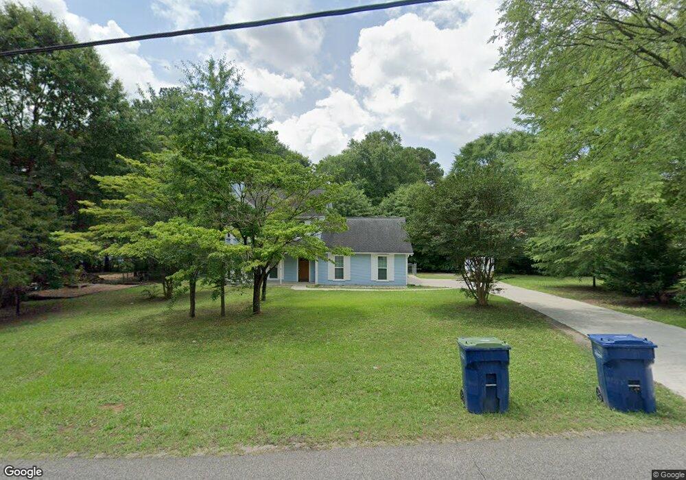
1431 Hill Spun Rd Alabaster, AL 35007
Estimated Value: $257,000 - $281,000
3
Beds
3
Baths
1,774
Sq Ft
$151/Sq Ft
Est. Value
About This Home
This home is located at 1431 Hill Spun Rd, Alabaster, AL 35007 and is currently estimated at $267,132, approximately $150 per square foot. 1431 Hill Spun Rd is a home located in Shelby County with nearby schools including Thompson Intermediate School, Thompson Middle School, and Thompson High School.
Ownership History
Date
Name
Owned For
Owner Type
Purchase Details
Closed on
Mar 18, 2022
Sold by
Slaughter Gregory Steven
Bought by
Rs Rental Iii-A Llc
Current Estimated Value
Purchase Details
Closed on
Mar 16, 2005
Sold by
Prudential Residential Services Lp
Bought by
Slaughter Gregory S
Home Financials for this Owner
Home Financials are based on the most recent Mortgage that was taken out on this home.
Original Mortgage
$152,884
Interest Rate
5.62%
Mortgage Type
VA
Purchase Details
Closed on
Mar 8, 2005
Sold by
Litzinger Lester A and Litzinger Dawn Paladino
Bought by
Prudential Residential Services Lp
Home Financials for this Owner
Home Financials are based on the most recent Mortgage that was taken out on this home.
Original Mortgage
$152,884
Interest Rate
5.62%
Mortgage Type
VA
Create a Home Valuation Report for This Property
The Home Valuation Report is an in-depth analysis detailing your home's value as well as a comparison with similar homes in the area
Home Values in the Area
Average Home Value in this Area
Purchase History
| Date | Buyer | Sale Price | Title Company |
|---|---|---|---|
| Rs Rental Iii-A Llc | $208,500 | None Listed On Document | |
| Slaughter Gregory S | $148,000 | -- | |
| Prudential Residential Services Lp | $148,000 | -- |
Source: Public Records
Mortgage History
| Date | Status | Borrower | Loan Amount |
|---|---|---|---|
| Previous Owner | Slaughter Gregory S | $152,884 |
Source: Public Records
Tax History Compared to Growth
Tax History
| Year | Tax Paid | Tax Assessment Tax Assessment Total Assessment is a certain percentage of the fair market value that is determined by local assessors to be the total taxable value of land and additions on the property. | Land | Improvement |
|---|---|---|---|---|
| 2024 | $2,600 | $48,140 | $0 | $0 |
| 2023 | $2,419 | $44,800 | $0 | $0 |
| 2022 | $2,372 | $43,920 | $0 | $0 |
| 2021 | $2,102 | $38,920 | $0 | $0 |
| 2020 | $1,947 | $36,060 | $0 | $0 |
| 2019 | $1,808 | $33,480 | $0 | $0 |
| 2017 | $812 | $15,800 | $0 | $0 |
| 2015 | $773 | $15,080 | $0 | $0 |
| 2014 | $753 | $14,700 | $0 | $0 |
Source: Public Records
Map
Nearby Homes
- 1424 King George Dr
- 1208 Siskin Dr
- 1445 Navajo Trail
- 112 Portsouth Ln
- 0001 9th St NW
- 000 9th St NW
- 100 Cape Cod Cir
- 204 Portsouth Ln
- 1637 King James Dr
- 191 Sugar Hill Ln
- 2021 King Charles Place
- 205 Willow Point Cir
- 1700 King James Dr
- 1324 Willow Creek Place
- 218 Willow Point Cir
- 225 Portsouth Ln
- 1445 Sequoia Trail
- 255 Creekside Ln Unit 192
- 1482 Secretariat Dr
- 1121 Colonial Dr
- 1348 Waxwing Trail
- 1439 Hill Spun Rd
- 1356 Waxwing Trail
- 1340 Waxwing Trail
- 1364 Waxwing Trail
- 1408 Alexander Ct
- 1332 Waxwing Trail
- 1447 Hill Spun Rd
- 1409 King George Dr
- 1372 Waxwing Trail
- 1372 Waxwing Trail Unit 6
- 1417 Queen Ann Cir
- 1416 Alexander Ct
- 1339 Waxwing Trail
- 1416 Hill Spun Rd
- 1455 Hill Spun Rd
- 1355 Waxwing Trail
- 1417 King George Dr
- 1324 Waxwing Cir
- 1380 Waxwing Trail