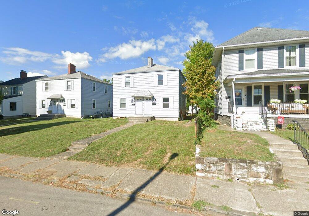
1431 N Star Ave Unit 433 Columbus, OH 43212
Fifth by Northwest NeighborhoodEstimated Value: $432,593 - $502,000
4
Beds
2
Baths
1,568
Sq Ft
$292/Sq Ft
Est. Value
About This Home
This home is located at 1431 N Star Ave Unit 433, Columbus, OH 43212 and is currently estimated at $457,148, approximately $291 per square foot. 1431 N Star Ave Unit 433 is a home located in Franklin County with nearby schools including Cranbrook Elementary School, Ridgeview Middle School, and Centennial High School.
Ownership History
Date
Name
Owned For
Owner Type
Purchase Details
Closed on
Nov 16, 2015
Sold by
Panzera Nick C and Panzera Carolyn A
Bought by
1431 1433 N Star Avenue Llc
Current Estimated Value
Purchase Details
Closed on
Oct 4, 1976
Bought by
Panzera Nick C and Panzera Carolyn
Create a Home Valuation Report for This Property
The Home Valuation Report is an in-depth analysis detailing your home's value as well as a comparison with similar homes in the area
Home Values in the Area
Average Home Value in this Area
Purchase History
| Date | Buyer | Sale Price | Title Company |
|---|---|---|---|
| 1431 1433 N Star Avenue Llc | -- | Attorney | |
| Panzera Nick C | -- | -- |
Source: Public Records
Tax History Compared to Growth
Tax History
| Year | Tax Paid | Tax Assessment Tax Assessment Total Assessment is a certain percentage of the fair market value that is determined by local assessors to be the total taxable value of land and additions on the property. | Land | Improvement |
|---|---|---|---|---|
| 2024 | $5,451 | $118,940 | $61,360 | $57,580 |
| 2023 | $5,383 | $118,930 | $61,355 | $57,575 |
| 2022 | $4,572 | $86,040 | $30,420 | $55,620 |
| 2021 | $4,581 | $86,040 | $30,420 | $55,620 |
| 2020 | $4,587 | $86,040 | $30,420 | $55,620 |
| 2019 | $4,362 | $70,150 | $30,420 | $39,730 |
| 2018 | $4,208 | $70,150 | $30,420 | $39,730 |
| 2017 | $4,411 | $70,150 | $30,420 | $39,730 |
| 2016 | $4,461 | $65,670 | $28,810 | $36,860 |
| 2015 | $4,062 | $65,670 | $28,810 | $36,860 |
| 2014 | $4,072 | $65,670 | $28,810 | $36,860 |
| 2013 | $1,913 | $62,545 | $27,440 | $35,105 |
Source: Public Records
Map
Nearby Homes
- 1459 Elmwood Ave Unit 1459
- 1475 W 3rd Ave Unit 204
- 1561 Glenn Ave
- 1655-1657 Ashland Ave
- 1661 Ashland Ave Unit 663
- 1313 Lincoln Rd
- 1364 W 7th Ave
- 1733 Elmwood Ave
- 00 W 7th Ave
- 1000 Urlin Ave Unit 1822
- 1000 Urlin Ave Unit 2007
- 1000 Urlin Ave Unit 520
- 1000 Urlin Ave Unit 605
- 1000 Urlin Ave Unit 511
- 1000 Urlin Ave Unit 1007
- 1000 Urlin Ave Unit 518
- 1000 Urlin Ave Unit 1607
- 1297 Doten Ave
- 1782 Wyandotte Rd
- 2015 W 5th Ave Unit 211
- 1425 N Star Ave Unit 427
- 1441 N Star Ave
- 1419 N Star Ave Unit 421
- 1419 N Star Rd
- 1443 N Star Ave Unit 445
- 1449 N Star Ave
- 1413 N Star Ave Unit 415
- 1438 Ashland Ave Unit 440
- 1438-1440 Ashland Ave
- 1438-1440 Ashland Ave Unit 1440
- 1446 Ashland Ave
- 1407 N Star Ave Unit 409
- 1434 Ashland Ave Unit 436
- 1450 Ashland Ave Unit 452
- 1430 Ashland Ave Unit 432
- 1454 Ashland Ave Unit 456
- 1454 Ashland Ave Unit 1454 Lower
- 1454 Ashland Ave Unit 1456 Upper
- 1424 Ashland Ave Unit 426
- 1461 N Star Ave