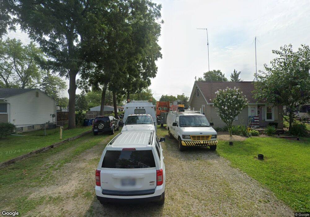
1431 Norris St Westland, MI 48186
Estimated Value: $77,000 - $141,000
1
Bed
2
Baths
600
Sq Ft
$192/Sq Ft
Est. Value
About This Home
This home is located at 1431 Norris St, Westland, MI 48186 and is currently estimated at $115,040, approximately $191 per square foot. 1431 Norris St is a home located in Wayne County with nearby schools including Eugene B. Elliott Elementary School, Adams Middle School, and Benjamin Franklin Middle School.
Ownership History
Date
Name
Owned For
Owner Type
Purchase Details
Closed on
Feb 23, 2021
Sold by
Macdougall George
Bought by
Syndrome Down and Mcdaniel Brian
Current Estimated Value
Purchase Details
Closed on
Nov 1, 2016
Sold by
Telerico Louis V
Bought by
Mcdougall George
Purchase Details
Closed on
Dec 30, 2004
Sold by
Roeder Terri L
Bought by
Telerico Louis
Purchase Details
Closed on
Mar 10, 1999
Sold by
Roeder Roeder J and Roeder L
Bought by
Roeder L
Create a Home Valuation Report for This Property
The Home Valuation Report is an in-depth analysis detailing your home's value as well as a comparison with similar homes in the area
Home Values in the Area
Average Home Value in this Area
Purchase History
| Date | Buyer | Sale Price | Title Company |
|---|---|---|---|
| Syndrome Down | -- | None Available | |
| Mcdougall George | $5,000 | None Available | |
| Telerico Louis | -- | -- | |
| Roeder L | -- | -- |
Source: Public Records
Tax History Compared to Growth
Tax History
| Year | Tax Paid | Tax Assessment Tax Assessment Total Assessment is a certain percentage of the fair market value that is determined by local assessors to be the total taxable value of land and additions on the property. | Land | Improvement |
|---|---|---|---|---|
| 2025 | $2,711 | $50,300 | $0 | $0 |
| 2024 | $2,711 | $44,100 | $0 | $0 |
| 2023 | $2,594 | $38,900 | $0 | $0 |
| 2022 | $3,464 | $31,500 | $0 | $0 |
| 2021 | $2,493 | $35,600 | $0 | $0 |
| 2020 | $2,469 | $30,000 | $0 | $0 |
| 2019 | $2,862 | $25,200 | $0 | $0 |
| 2018 | $1,312 | $22,900 | $0 | $0 |
| 2017 | $906 | $22,600 | $0 | $0 |
| 2016 | $695 | $22,600 | $0 | $0 |
| 2015 | $1,321 | $17,490 | $0 | $0 |
| 2013 | $1,280 | $19,320 | $0 | $0 |
| 2012 | $1,567 | $12,500 | $0 | $0 |
Source: Public Records
Map
Nearby Homes
- 32154 Melton St
- 1682 Beatrice St
- 32155 Melton St
- 31606 Fairchild St
- 32116 Palmer Rd
- 31842 Bay Ct
- 32140 Palmer Rd
- 32046 Cheboygan Ct
- 31820 Bay Ct
- 31923 Calhoun Ct
- 32025 Birchwood St
- 32111 Birchwood Ave
- 30828 Parkwood St
- 31784 Arenac Ct
- 30805 Parkwood St
- 30779 Middlebury St
- 32411 Grandview Ave
- 32508 Avondale St
- 32332 Kalamazoo Ct
- 31203 Birchwood St
- 1441 Norris St
- 1411 Norris St
- 1432 Beatrice St
- 1418 Beatrice St
- 1451 Norris St
- 1456 Beatrice St
- 1446 Beatrice St
- 1424 Norris St
- 1436 Norris St
- 1463 Norris St
- 1412 Norris St
- 1446 Norris St Unit Bldg-Unit
- 1472 Beatrice St
- 0000 Beatrice St
- 31750 Parkwood St
- 31740 Parkwood St
- 31730 Parkwood St
- 31800 Parkwood St
- 1468 Norris St
- 31720 Parkwood St