Estimated Value: $393,000 - $520,636
4
Beds
4
Baths
4,576
Sq Ft
$99/Sq Ft
Est. Value
About This Home
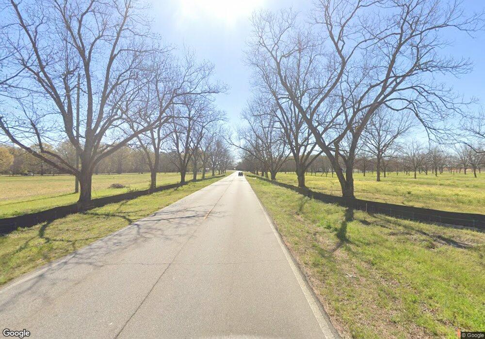
This home is located at 1431 W White Rd, Byron, GA 31008 and is currently estimated at $452,659, approximately $98 per square foot. 1431 W White Rd is a home located in Peach County with nearby schools including Byron Elementary School, Byron Middle School, and Peach County High School.
Ownership History
Date
Name
Owned For
Owner Type
Purchase Details
Closed on
Nov 7, 2023
Sold by
Peavy Mary Louise Banks
Bought by
Terry Michael Dennis and Terry Nancy Peavy
Current Estimated Value
Purchase Details
Closed on
Aug 29, 2002
Sold by
Peavy
Bought by
Peavy Mary Louise B
Purchase Details
Closed on
Aug 19, 2002
Sold by
Peavy Harold Wright and Peavy Suzanne G
Bought by
Peavy Mary Louise B
Purchase Details
Closed on
Apr 26, 1990
Bought by
Peavy Mary Louise and Peavy Louise B
Purchase Details
Closed on
Sep 12, 1985
Bought by
Peavy Mary Louise B
Create a Home Valuation Report for This Property
The Home Valuation Report is an in-depth analysis detailing your home's value as well as a comparison with similar homes in the area
Home Values in the Area
Average Home Value in this Area
Purchase History
| Date | Buyer | Sale Price | Title Company |
|---|---|---|---|
| Terry Michael Dennis | $440,000 | -- | |
| Peavy Mary Louise B | -- | -- | |
| Peavy Mary Louise B | -- | -- | |
| Peavy Mary Louise | -- | -- | |
| Peavy Mary Louise B | -- | -- |
Source: Public Records
Tax History Compared to Growth
Tax History
| Year | Tax Paid | Tax Assessment Tax Assessment Total Assessment is a certain percentage of the fair market value that is determined by local assessors to be the total taxable value of land and additions on the property. | Land | Improvement |
|---|---|---|---|---|
| 2024 | $6,328 | $177,328 | $38,160 | $139,168 |
| 2023 | $6,011 | $168,840 | $23,840 | $145,000 |
| 2022 | $5,993 | $148,440 | $23,840 | $124,600 |
| 2021 | $3,977 | $129,384 | $23,840 | $105,544 |
| 2020 | $3,984 | $129,600 | $23,840 | $105,760 |
| 2019 | $4,003 | $129,600 | $23,840 | $105,760 |
| 2018 | $4,024 | $129,600 | $23,840 | $105,760 |
| 2017 | $4,044 | $129,600 | $23,840 | $105,760 |
Source: Public Records
Map
Nearby Homes
- 106 Christopher Dr
- 305 Shantz Way
- The Harrington Plan at Bryson Farms
- The McGinnis Plan at Bryson Farms
- The Piedmont Plan at Bryson Farms
- The Benson II Plan at Bryson Farms
- The Coleman Plan at Bryson Farms
- The Bradley Plan at Bryson Farms
- The Lawson Plan at Bryson Farms
- 245 Shantz Way Unit (LOT C16)
- 245 Shantz Way
- 304 Shantz Way
- 304 Shantz Way Unit (LOT B3)
- 305 Shantz Way Unit (LOT C11)
- 0 W White Rd Unit 329733
- 213 White Rd
- 00 Dunbar Rd
- 255 Bayberry Dr
- 252 Shantz Way
- 252 Shantz Way Unit (LOT A43)
- W W White Rd Unit 22,23,25 A
- W W White Rd
- 1410 W White Rd
- 1472 W White Rd
- 1570 W White Rd
- 1671 W White Rd
- 1130 W White Rd
- 1668 W White Rd
- W White Rd & Peavy Rd
- 0 W White Rd & Peavy Rd
- 108 Industrial Way
- 104 Industrial Way
- 1670 W White Rd
- 105 Industrial Way
- 103 Industrial Way
- 151 Cumberland Dr
- 152 Cumberland Dr
- 118 Red Oak Ct
- 153 Cumberland Dr
- 110 Pat Joiner Blvd
