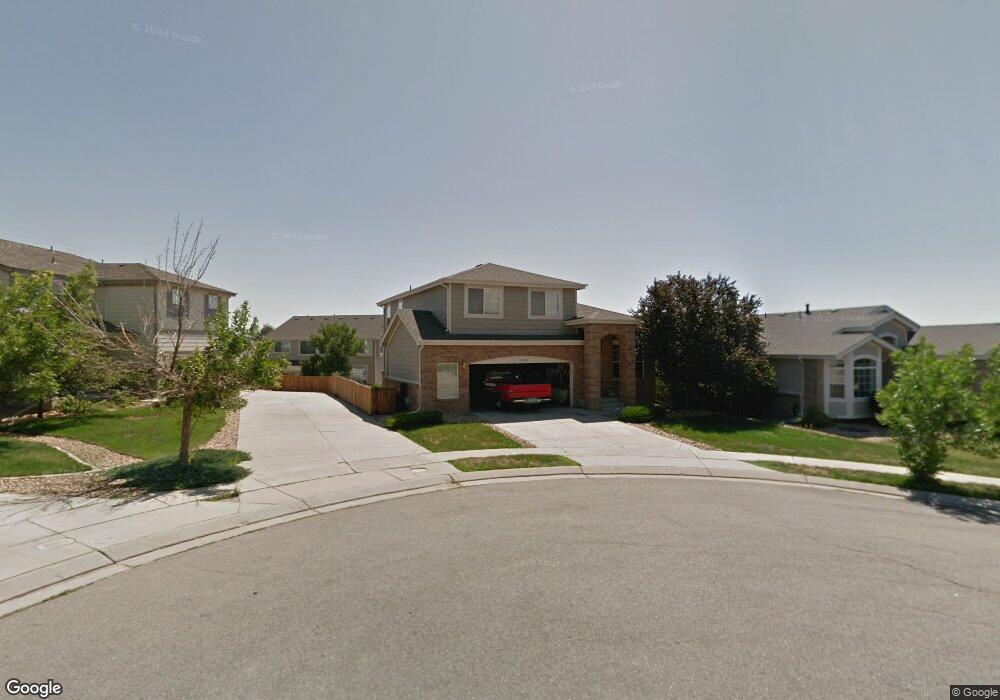
14310 Kevin Ct Broomfield, CO 80023
Broadlands NeighborhoodEstimated Value: $605,000 - $658,000
3
Beds
3
Baths
1,810
Sq Ft
$351/Sq Ft
Est. Value
About This Home
This home is located at 14310 Kevin Ct, Broomfield, CO 80023 and is currently estimated at $634,721, approximately $350 per square foot. 14310 Kevin Ct is a home located in Broomfield County with nearby schools including Coyote Ridge Elementary School, Westlake Middle School, and Legacy High School.
Ownership History
Date
Name
Owned For
Owner Type
Purchase Details
Closed on
Jul 23, 2020
Sold by
Cannon Richard D and Cannon Carol A
Bought by
Lewis Connor and Prabhu Neha
Current Estimated Value
Home Financials for this Owner
Home Financials are based on the most recent Mortgage that was taken out on this home.
Original Mortgage
$433,000
Outstanding Balance
$384,668
Interest Rate
3.2%
Mortgage Type
New Conventional
Estimated Equity
$250,053
Purchase Details
Closed on
Jan 31, 2000
Sold by
Kdb Homes Inc
Bought by
Cannon Richard D and Cannon Carol A
Purchase Details
Closed on
Nov 24, 1997
Sold by
Community Development Group
Bought by
Kdb Homes Inc
Purchase Details
Closed on
Oct 21, 1997
Sold by
Northland Land Syndicate
Bought by
Community Development Group
Create a Home Valuation Report for This Property
The Home Valuation Report is an in-depth analysis detailing your home's value as well as a comparison with similar homes in the area
Home Values in the Area
Average Home Value in this Area
Purchase History
| Date | Buyer | Sale Price | Title Company |
|---|---|---|---|
| Lewis Connor | $473,000 | Land Title Guarantee Co | |
| Cannon Richard D | $253,700 | -- | |
| Kdb Homes Inc | $2,087,000 | -- | |
| Community Development Group | $646,800 | -- |
Source: Public Records
Mortgage History
| Date | Status | Borrower | Loan Amount |
|---|---|---|---|
| Open | Lewis Connor | $433,000 |
Source: Public Records
Tax History Compared to Growth
Tax History
| Year | Tax Paid | Tax Assessment Tax Assessment Total Assessment is a certain percentage of the fair market value that is determined by local assessors to be the total taxable value of land and additions on the property. | Land | Improvement |
|---|---|---|---|---|
| 2025 | $4,578 | $40,720 | $10,390 | $30,330 |
| 2024 | $4,578 | $39,680 | $9,500 | $30,180 |
| 2023 | $4,540 | $44,980 | $10,770 | $34,210 |
| 2022 | $3,970 | $32,310 | $7,650 | $24,660 |
| 2021 | $4,093 | $33,240 | $7,870 | $25,370 |
| 2020 | $3,792 | $30,440 | $7,870 | $22,570 |
| 2019 | $3,794 | $30,650 | $7,920 | $22,730 |
| 2018 | $3,631 | $28,250 | $6,010 | $22,240 |
| 2017 | $3,335 | $31,230 | $6,650 | $24,580 |
| 2016 | $3,110 | $25,730 | $5,850 | $19,880 |
| 2015 | $3,109 | $23,010 | $5,850 | $17,160 |
| 2014 | $2,892 | $23,010 | $5,850 | $17,160 |
Source: Public Records
Map
Nearby Homes
- 4340 Nelson Dr
- 4405 Fairway Ln
- 4505 Lexi Cir
- 4402 Calloway Ct
- 14246 Piney River Rd
- 14343 Wright Way
- 14311 Cottage Way
- 14246 Pikeminnow Place Unit 14246
- 14247 Pikeminnow Place Unit 14247
- 4945 Prebles Place Unit 4945
- 5107 Pasadena Way
- 14245 Craftsman Way Unit 14245
- 14096 Roaring Fork Cir
- 5151 Spyglass Dr
- 3767 Jenny Ln
- 14075 Turnberry Ct
- 3822 Broadmoor Loop
- 4676 Castle Cir
- 4716 Castle Cir
- 13896 Muirfield Ct