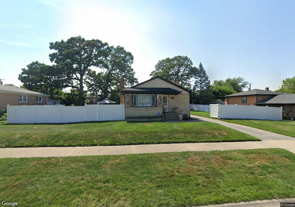
14310 Maryland Ave Dolton, IL 60419
Estimated Value: $148,001 - $202,000
3
Beds
1
Bath
1,246
Sq Ft
$143/Sq Ft
Est. Value
About This Home
This home is located at 14310 Maryland Ave, Dolton, IL 60419 and is currently estimated at $178,000, approximately $142 per square foot. 14310 Maryland Ave is a home located in Cook County with nearby schools including Lincoln Elementary School, Lincoln Junior High School, and Thornridge High School.
Ownership History
Date
Name
Owned For
Owner Type
Purchase Details
Closed on
Sep 30, 1993
Sold by
First National Bank Of Blue Island
Bought by
Lomax Calvin M and Lomax Willie Pearl
Current Estimated Value
Home Financials for this Owner
Home Financials are based on the most recent Mortgage that was taken out on this home.
Original Mortgage
$85,550
Interest Rate
7.02%
Mortgage Type
FHA
Create a Home Valuation Report for This Property
The Home Valuation Report is an in-depth analysis detailing your home's value as well as a comparison with similar homes in the area
Home Values in the Area
Average Home Value in this Area
Purchase History
| Date | Buyer | Sale Price | Title Company |
|---|---|---|---|
| Lomax Calvin M | $57,000 | -- |
Source: Public Records
Mortgage History
| Date | Status | Borrower | Loan Amount |
|---|---|---|---|
| Closed | Lomax Calvin M | $85,550 |
Source: Public Records
Tax History Compared to Growth
Tax History
| Year | Tax Paid | Tax Assessment Tax Assessment Total Assessment is a certain percentage of the fair market value that is determined by local assessors to be the total taxable value of land and additions on the property. | Land | Improvement |
|---|---|---|---|---|
| 2024 | $6,370 | $13,000 | $2,244 | $10,756 |
| 2023 | $4,757 | $13,000 | $2,244 | $10,756 |
| 2022 | $4,757 | $9,028 | $1,980 | $7,048 |
| 2021 | $4,776 | $9,028 | $1,980 | $7,048 |
| 2020 | $4,694 | $9,028 | $1,980 | $7,048 |
| 2019 | $3,822 | $7,790 | $1,848 | $5,942 |
| 2018 | $3,703 | $7,790 | $1,848 | $5,942 |
| 2017 | $3,533 | $7,790 | $1,848 | $5,942 |
| 2016 | $2,908 | $6,463 | $1,716 | $4,747 |
| 2015 | $2,729 | $6,463 | $1,716 | $4,747 |
| 2014 | $3,634 | $7,721 | $1,716 | $6,005 |
| 2013 | $2,857 | $7,036 | $1,716 | $5,320 |
Source: Public Records
Map
Nearby Homes
- 14400 Shepard Dr
- 14333 Drexel Ave
- 14408 Lincoln Ave
- 14325 Ingleside Ave
- 14221 Ingleside Ave
- 14418 Drexel Ave
- 933 E 142nd St
- 14421 Murray Ave
- 14263 Lincoln Ave
- 14320 Dobson Ave
- 1011 E 142nd St
- 14411 Irving Ave
- 14326 Irving Ave
- 14508 Ingleside Ave
- 685 E 142nd St
- 14526 Cottage Grove Ave
- 14234 Minerva Ave
- 14214 Minerva Ave
- 14237 Minerva Ave
- 664 E 142nd St
- 14316 Maryland Ave
- 14320 Maryland Ave
- 14304 Maryland Ave
- 14324 Maryland Ave
- 14315 Cottage Grove Ave
- 14311 Cottage Grove Ave
- 14319 Cottage Grove Ave
- 14323 Cottage Grove Ave
- 14300 Maryland Ave
- 14326 Maryland Ave
- 14305 Cottage Grove Ave
- 14327 Cottage Grove Ave
- 14315 Maryland Ave
- 14311 Maryland Ave
- 14317 Maryland Ave
- 14330 Maryland Ave
- 14301 Cottage Grove Ave
- 14331 Cottage Grove Ave
- 14321 Maryland Ave
- 14309 Maryland Ave