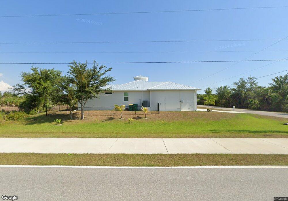
14315 Keystone Blvd Port Charlotte, FL 33981
Gulf Cove NeighborhoodEstimated Value: $492,369 - $706,000
--
Bed
--
Bath
--
Sq Ft
0.26
Acres
About This Home
This home is located at 14315 Keystone Blvd, Port Charlotte, FL 33981 and is currently estimated at $614,342. 14315 Keystone Blvd is a home located in Charlotte County with nearby schools including Myakka River Elementary School, L.A. Ainger Middle School, and Lemon Bay High School.
Ownership History
Date
Name
Owned For
Owner Type
Purchase Details
Closed on
Apr 27, 2021
Sold by
Dittman Wayne A and Wayne A Dittman Living Trust
Bought by
Fernandez Odilio and Fernandez Ivis Leydis
Current Estimated Value
Purchase Details
Closed on
Jan 5, 2006
Sold by
Dittman Wayne A and The Wayne A Dittman Revocable
Bought by
Dittman Wayne A and Jager Rebecca B
Purchase Details
Closed on
Mar 31, 2002
Sold by
Dittman Wayne
Bought by
Dittman Wayne A
Purchase Details
Closed on
Feb 8, 2002
Sold by
Rohon Henry D and Rohon Claire B
Bought by
Dittman Wayne and Jager Rebecca
Create a Home Valuation Report for This Property
The Home Valuation Report is an in-depth analysis detailing your home's value as well as a comparison with similar homes in the area
Home Values in the Area
Average Home Value in this Area
Purchase History
| Date | Buyer | Sale Price | Title Company |
|---|---|---|---|
| Fernandez Odilio | $15,000 | Coastal Security Title Inc | |
| Dittman Wayne A | -- | None Available | |
| Dittman Wayne A | -- | -- | |
| Dittman Wayne | $4,800 | -- |
Source: Public Records
Tax History Compared to Growth
Tax History
| Year | Tax Paid | Tax Assessment Tax Assessment Total Assessment is a certain percentage of the fair market value that is determined by local assessors to be the total taxable value of land and additions on the property. | Land | Improvement |
|---|---|---|---|---|
| 2023 | $661 | $22,440 | $0 | $0 |
| 2022 | $740 | $20,400 | $20,400 | $0 |
| 2021 | $509 | $7,650 | $7,650 | $0 |
| 2020 | $486 | $7,990 | $7,990 | $0 |
| 2019 | $491 | $9,350 | $9,350 | $0 |
| 2018 | $502 | $9,350 | $9,350 | $0 |
| 2017 | $496 | $8,925 | $8,925 | $0 |
| 2016 | $485 | $2,829 | $0 | $0 |
| 2015 | $237 | $2,572 | $0 | $0 |
| 2014 | $200 | $2,338 | $0 | $0 |
Source: Public Records
Map
Nearby Homes
- 9653 Galaxie Cir
- 9541 Galaxie Cir
- 9453 Galaxie Cir
- 9316 Galaxie Cir
- 9588 Nastrand Cir
- 9629 Nastrand Cir
- 9540 Galaxie Cir
- 9309 Galaxie Cir
- 9428 Miami Cir
- 9524 Miami Cir
- 14394 Keystone Blvd
- 9516 Miami Cir
- 9397 Galaxie Cir
- 9309 Nastrand Cir
- 9676 President Cir
- 14306 Port Huron Ave
- 9660 Miami Cir
- 10039 Alvarez St
- 10047 Alvarez St
- 9300 Miami Cir
- 9476 Galaxie Cir
- 9484 Galaxie Cir
- 9492 Galaxie Cir
- 9485 Galaxie Cir Unit 12
- 9485 Galaxie Cir
- 14316 Keystone Blvd
- 14300 Keystone Blvd
- 9500 Galaxie Cir
- 9501 Galaxie Cir
- 9452 Galaxie Cir
- 9660 Nastrand Cir
- 9445 Galaxie Cir
- 0 Galaxie Cir Unit C7020997
- 9260 Nastrand Cir
- 9277 Galaxie Cir
- 9325 Galaxie Cir
- 9284 Galaxie Cir
- 9661 Galaxie Cir
- 9644 Nastrand Cir
- 9669 Nastrand Cir