14316 Bowsprit Ln Laurel, MD 20707
Estimated Value: $270,000 - $296,000
--
Bed
--
Bath
1,130
Sq Ft
$253/Sq Ft
Est. Value
About This Home
This home is located at 14316 Bowsprit Ln, Laurel, MD 20707 and is currently estimated at $285,836, approximately $252 per square foot. 14316 Bowsprit Ln is a home located in Prince George's County with nearby schools including Vansville Elementary School, Martin Luther King Jr. Middle School, and Laurel High School.
Ownership History
Date
Name
Owned For
Owner Type
Purchase Details
Closed on
Jun 4, 2008
Sold by
Petrone Ann G
Bought by
Dial Brent
Current Estimated Value
Home Financials for this Owner
Home Financials are based on the most recent Mortgage that was taken out on this home.
Original Mortgage
$206,755
Interest Rate
6.13%
Mortgage Type
Purchase Money Mortgage
Purchase Details
Closed on
May 30, 2008
Sold by
Petrone Ann G
Bought by
Dial Brent
Home Financials for this Owner
Home Financials are based on the most recent Mortgage that was taken out on this home.
Original Mortgage
$206,755
Interest Rate
6.13%
Mortgage Type
Purchase Money Mortgage
Purchase Details
Closed on
Jun 12, 2002
Sold by
Groff Patricia M
Bought by
Petrone Ann G
Purchase Details
Closed on
Dec 16, 1988
Sold by
Milton Co
Bought by
Groff Patricia M
Create a Home Valuation Report for This Property
The Home Valuation Report is an in-depth analysis detailing your home's value as well as a comparison with similar homes in the area
Home Values in the Area
Average Home Value in this Area
Purchase History
| Date | Buyer | Sale Price | Title Company |
|---|---|---|---|
| Dial Brent | $210,000 | -- | |
| Dial Brent | $210,000 | -- | |
| Petrone Ann G | $105,000 | -- | |
| Groff Patricia M | $101,100 | -- |
Source: Public Records
Mortgage History
| Date | Status | Borrower | Loan Amount |
|---|---|---|---|
| Open | Dial Brent | $188,530 | |
| Closed | Dial Brent | $209,856 | |
| Closed | Dial Brent | $206,755 | |
| Closed | Dial Brent | $206,755 | |
| Previous Owner | Petrone Ann G | $62,800 |
Source: Public Records
Tax History Compared to Growth
Tax History
| Year | Tax Paid | Tax Assessment Tax Assessment Total Assessment is a certain percentage of the fair market value that is determined by local assessors to be the total taxable value of land and additions on the property. | Land | Improvement |
|---|---|---|---|---|
| 2024 | $4,055 | $217,333 | $0 | $0 |
| 2023 | $3,470 | $186,667 | $0 | $0 |
| 2022 | $2,572 | $156,000 | $46,800 | $109,200 |
| 2021 | $2,884 | $152,667 | $0 | $0 |
| 2020 | $2,744 | $149,333 | $0 | $0 |
| 2019 | $2,860 | $146,000 | $43,800 | $102,200 |
| 2018 | $1,896 | $135,333 | $0 | $0 |
| 2017 | $2,133 | $124,667 | $0 | $0 |
| 2016 | -- | $114,000 | $0 | $0 |
| 2015 | $2,477 | $114,000 | $0 | $0 |
| 2014 | $2,477 | $114,000 | $0 | $0 |
Source: Public Records
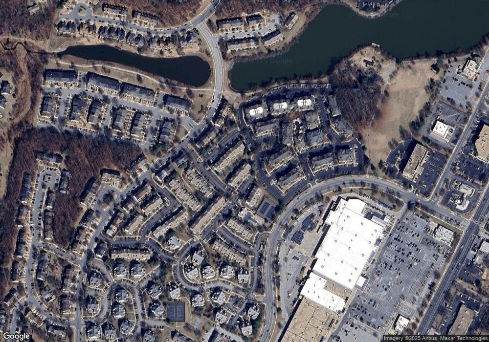
Map
Nearby Homes
- 7907 Crows Nest Ct Unit 22
- 14239 Jib St Unit 21
- 14306 Bowsprit Ln Unit 22
- 14255 Oxford Dr
- 14226 Yardarm Way Unit 109
- 14122 Bowsprit Ln Unit 812
- 7902 Bayshore Dr Unit 32
- 7914 Chapel Cove Dr
- 14040 Vista Dr
- 14109 William St
- 14105 William St Unit 15-A
- 14020 Justin Way Unit 24-C
- 14012C Justin Way Unit 26-C
- 14016B Justin Way Unit 25-B
- 14523 Cambridge Cir
- 14521 Cambridge Cir
- 14011A Justin Way
- 14011F Briston St
- 14007 Vista Dr Unit 30
- 14002F Korba Place
- 14312 Bowsprit Ln
- 14316 Bowsprit Ln Unit 714
- 14314 Bowsprit Ln
- 14314 Bowsprit Ln Unit 22
- 14312 Bowsprit Ln Unit 21
- 14314 Bowsprit Ln Unit 21
- 14314 Bowsprit Ln Unit 32
- 14312 Bowsprit Ln Unit 11
- 14316 Bowsprit Ln
- 14312 Bowsprit Ln Unit 31
- 14312 Bowsprit Ln
- 14314 Bowsprit Ln
- 14316 Bowsprit Ln Unit 21
- 14316 Bowsprit Ln
- 14316 Bowsprit Ln Unit 17
- 14312 Bowsprit Ln Unit 735
- 14314 Bowsprit Ln Unit 12
- 14314 Bowsprit Ln Unit 31
- 14316 Bowsprit Ln Unit 22
- 14312 Bowsprit Ln Unit 22