Estimated Value: $166,477 - $202,000
3
Beds
1
Bath
1,746
Sq Ft
$108/Sq Ft
Est. Value
About This Home
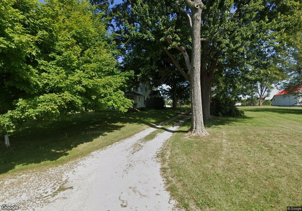
This home is located at 1432 Beery Rd, Lima, OH 45807 and is currently estimated at $188,869, approximately $108 per square foot. 1432 Beery Rd is a home located in Allen County with nearby schools including Elida Elementary School, Elida Middle School, and Elida High School.
Ownership History
Date
Name
Owned For
Owner Type
Purchase Details
Closed on
Jun 1, 1998
Sold by
Anthony Robert
Bought by
Shenk David and Shenk Rebecca
Current Estimated Value
Home Financials for this Owner
Home Financials are based on the most recent Mortgage that was taken out on this home.
Original Mortgage
$44,800
Interest Rate
7.27%
Mortgage Type
New Conventional
Purchase Details
Closed on
Apr 1, 1996
Sold by
Anthony Robert
Bought by
Mooney Curtis
Home Financials for this Owner
Home Financials are based on the most recent Mortgage that was taken out on this home.
Original Mortgage
$71,000
Interest Rate
6.98%
Mortgage Type
New Conventional
Purchase Details
Closed on
Feb 8, 1996
Sold by
Schaffter Iris
Bought by
Anthony Robert
Home Financials for this Owner
Home Financials are based on the most recent Mortgage that was taken out on this home.
Original Mortgage
$71,000
Interest Rate
6.98%
Mortgage Type
New Conventional
Purchase Details
Closed on
Jan 1, 1990
Bought by
Schaffter Iris
Create a Home Valuation Report for This Property
The Home Valuation Report is an in-depth analysis detailing your home's value as well as a comparison with similar homes in the area
Home Values in the Area
Average Home Value in this Area
Purchase History
| Date | Buyer | Sale Price | Title Company |
|---|---|---|---|
| Shenk David | $56,000 | -- | |
| Mooney Curtis | $10,000 | -- | |
| Anthony Robert | $10,000 | -- | |
| Schaffter Iris | -- | -- |
Source: Public Records
Mortgage History
| Date | Status | Borrower | Loan Amount |
|---|---|---|---|
| Closed | Shenk David | $44,800 | |
| Previous Owner | Mooney Curtis | $71,000 |
Source: Public Records
Tax History Compared to Growth
Tax History
| Year | Tax Paid | Tax Assessment Tax Assessment Total Assessment is a certain percentage of the fair market value that is determined by local assessors to be the total taxable value of land and additions on the property. | Land | Improvement |
|---|---|---|---|---|
| 2024 | $1,695 | $38,890 | $12,290 | $26,600 |
| 2023 | $1,388 | $28,180 | $8,890 | $19,290 |
| 2022 | $1,409 | $28,180 | $8,890 | $19,290 |
| 2021 | $1,416 | $28,180 | $8,890 | $19,290 |
| 2020 | $1,327 | $24,540 | $8,090 | $16,450 |
| 2019 | $1,327 | $24,540 | $8,090 | $16,450 |
| 2018 | $1,262 | $24,540 | $8,090 | $16,450 |
| 2017 | $1,179 | $22,410 | $8,090 | $14,320 |
| 2016 | $1,178 | $22,410 | $8,090 | $14,320 |
| 2015 | $1,220 | $22,410 | $8,090 | $14,320 |
| 2014 | $1,220 | $22,370 | $8,400 | $13,970 |
| 2013 | $1,096 | $22,370 | $8,400 | $13,970 |
Source: Public Records
Map
Nearby Homes
- 0 Fraunfelter Unit 307817
- 0 N Eastown Rd Unit 1034495
- 1129 W Bluelick Rd
- 2718 Carolyn Dr
- 4050 Brookshore Dr
- 4080 Brookshore Dr
- 2630 Carolyn Dr
- 1743 Sherry Lee Dr
- 3798 Kissing Hollow Dr
- 2511 Debbie Dr
- 1619 Northbrook Dr
- 3270 Bonnieview Dr
- 2371 Mandolin Dr
- 168 Lyre Bird Ln
- 2370 N McDonel St
- 1848 Edgewood Dr
- 2268 N Glenwood Ave
- 140 Hartford Ct Unit A
- 2129 Reinell Ave
- 2275 N Cable Rd Unit 43 Unit Package
- 1480 Beery Rd
- 1370 Beery Rd
- 1370 Beery Rd
- 1498 Beery Rd
- 1337 Beery Rd
- 4071 N Cole St
- 3861 Elida Rd
- 1575 Beery Rd
- 4121 N Cole St
- 4199 N Cole St
- 4255 N Cole St
- 1661 Beery Rd
- 3791 N Cole St
- 0 Fraunfelter Unit 96596
- 0 Fraunfelter Unit 304027
- 0 N Eastown Rd Unit 1027759
- 0 Fraunfelter Unit 68324
- 0 Fraunfelter Unit 100508
- 0 N Eastown Rd Unit 201396