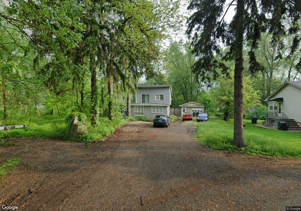
1432 Burns Dr Portage, IN 46368
Estimated Value: $155,000 - $342,000
3
Beds
2
Baths
1,318
Sq Ft
$172/Sq Ft
Est. Value
About This Home
This home is located at 1432 Burns Dr, Portage, IN 46368 and is currently estimated at $227,142, approximately $172 per square foot. 1432 Burns Dr is a home located in Porter County with nearby schools including Crisman Elementary School, Willowcreek Middle School, and Portage High School.
Ownership History
Date
Name
Owned For
Owner Type
Purchase Details
Closed on
Jan 11, 2022
Sold by
Dakota Properties Llc
Bought by
Dakota Holdings Port-6 Llc
Current Estimated Value
Home Financials for this Owner
Home Financials are based on the most recent Mortgage that was taken out on this home.
Original Mortgage
$1,004,000
Outstanding Balance
$926,635
Interest Rate
3.22%
Mortgage Type
New Conventional
Estimated Equity
-$699,493
Purchase Details
Closed on
Aug 24, 2020
Sold by
Gonzalez Properties Llc
Bought by
Dakota Properties Llc
Purchase Details
Closed on
Aug 3, 2020
Sold by
Wright Christine
Bought by
Gonzalez Properties Llc
Purchase Details
Closed on
Aug 10, 2016
Sold by
Wagner Robert E and Robert E Wagner Trust
Bought by
Wright Christine
Purchase Details
Closed on
Apr 6, 2015
Sold by
Wagner Robert E
Bought by
Wagner Robert E and Robert E Wagner Trust
Create a Home Valuation Report for This Property
The Home Valuation Report is an in-depth analysis detailing your home's value as well as a comparison with similar homes in the area
Home Values in the Area
Average Home Value in this Area
Purchase History
| Date | Buyer | Sale Price | Title Company |
|---|---|---|---|
| Dakota Holdings Port-6 Llc | -- | None Listed On Document | |
| Dakota Properties Llc | $106,000 | Mtc | |
| Gonzalez Properties Llc | $65,000 | Meridian Title Corp | |
| Wright Christine | -- | None Available | |
| Wagner Robert E | -- | None Available |
Source: Public Records
Mortgage History
| Date | Status | Borrower | Loan Amount |
|---|---|---|---|
| Open | Dakota Holdings Port-6 Llc | $1,004,000 |
Source: Public Records
Tax History Compared to Growth
Tax History
| Year | Tax Paid | Tax Assessment Tax Assessment Total Assessment is a certain percentage of the fair market value that is determined by local assessors to be the total taxable value of land and additions on the property. | Land | Improvement |
|---|---|---|---|---|
| 2024 | $2,273 | $115,300 | $15,600 | $99,700 |
| 2023 | $2,095 | $112,200 | $14,800 | $97,400 |
| 2022 | $2,075 | $103,200 | $14,800 | $88,400 |
| 2021 | $1,922 | $94,600 | $14,800 | $79,800 |
| 2020 | $490 | $68,100 | $13,400 | $54,700 |
| 2019 | $526 | $72,400 | $13,400 | $59,000 |
| 2018 | $541 | $72,600 | $13,400 | $59,200 |
| 2017 | $581 | $81,200 | $13,400 | $67,800 |
| 2016 | $517 | $72,000 | $14,000 | $58,000 |
| 2014 | $1,632 | $80,600 | $12,600 | $68,000 |
| 2013 | -- | $75,300 | $12,600 | $62,700 |
Source: Public Records
Map
Nearby Homes
- 6019 S Dune Harbor Dr Unit A
- 6019 S Dune Harbor Dr Unit C
- 6009 S Dune Harbor Dr Unit 101
- 5966 Beacon Ln
- 5956 Beacon Ln
- 5946 Beacon Ln
- 5932 Beacon Ln
- 6340 Melton Rd
- 1912 Pleasant Meadows St
- 0 Northwood Trail Unit NRA811704
- 1980 Crisman Rd
- 21 Bittersweet Ln
- 1 Skyline Dr
- 3 The Thumb
- 98 Ogden Rd
- 1959 Greentree St
- 75 Hillcrest Rd
- 5 Cottonwood Ln
- 2 Cedar Ct
- 1935 Samuelson Rd