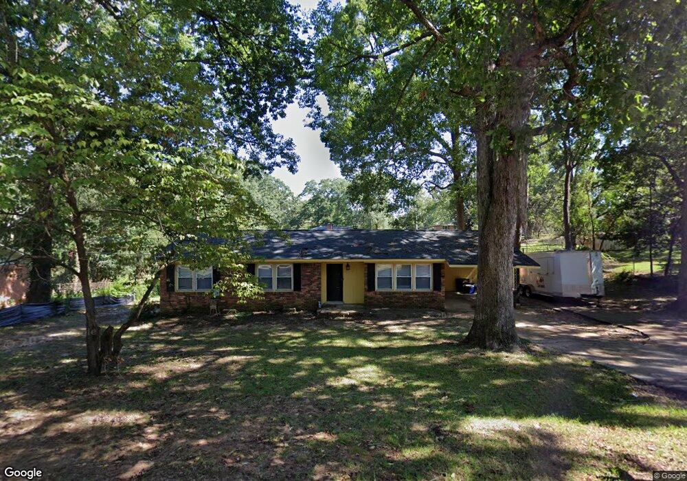
1432 Omarest Dr Columbia, SC 29210
Saint Andrews NeighborhoodEstimated Value: $200,587 - $227,000
3
Beds
3
Baths
1,774
Sq Ft
$119/Sq Ft
Est. Value
About This Home
This home is located at 1432 Omarest Dr, Columbia, SC 29210 and is currently estimated at $211,647, approximately $119 per square foot. 1432 Omarest Dr is a home located in Richland County with nearby schools including H. B. Rhame Elementary School, St. Andrews Middle School, and Columbia High School.
Ownership History
Date
Name
Owned For
Owner Type
Purchase Details
Closed on
May 11, 2007
Sold by
Peralta Ernesto
Bought by
Peralta & Associates Llc
Current Estimated Value
Purchase Details
Closed on
Sep 15, 2005
Sold by
Va
Bought by
Peralta Ernesto
Home Financials for this Owner
Home Financials are based on the most recent Mortgage that was taken out on this home.
Original Mortgage
$72,900
Interest Rate
5.77%
Mortgage Type
Fannie Mae Freddie Mac
Purchase Details
Closed on
Apr 21, 2005
Sold by
Woodall Kenneth L and Woodall Donna P
Bought by
Va
Create a Home Valuation Report for This Property
The Home Valuation Report is an in-depth analysis detailing your home's value as well as a comparison with similar homes in the area
Home Values in the Area
Average Home Value in this Area
Purchase History
| Date | Buyer | Sale Price | Title Company |
|---|---|---|---|
| Peralta & Associates Llc | -- | None Available | |
| Peralta Ernesto | $81,000 | -- | |
| Va | $65,000 | -- |
Source: Public Records
Mortgage History
| Date | Status | Borrower | Loan Amount |
|---|---|---|---|
| Previous Owner | Peralta Ernesto | $72,900 |
Source: Public Records
Tax History
| Year | Tax Paid | Tax Assessment Tax Assessment Total Assessment is a certain percentage of the fair market value that is determined by local assessors to be the total taxable value of land and additions on the property. | Land | Improvement |
|---|---|---|---|---|
| 2024 | $3,339 | $113,400 | $0 | $0 |
| 2023 | $3,257 | $3,944 | $0 | $0 |
| 2022 | $2,989 | $98,600 | $12,600 | $86,000 |
| 2021 | $2,981 | $5,920 | $0 | $0 |
| 2020 | $2,997 | $5,920 | $0 | $0 |
| 2019 | $2,973 | $5,920 | $0 | $0 |
| 2018 | $2,776 | $5,510 | $0 | $0 |
| 2017 | $2,699 | $5,510 | $0 | $0 |
| 2016 | $2,652 | $5,510 | $0 | $0 |
| 2015 | $2,616 | $5,510 | $0 | $0 |
| 2014 | $2,566 | $91,900 | $0 | $0 |
| 2013 | -- | $5,510 | $0 | $0 |
Source: Public Records
Map
Nearby Homes
- 112 Gateway Ln
- 1540 Romain Dr
- 1707 Carl Rd
- 1650 Omarest Dr
- 1209 Bakersfield Rd
- 1727 Omarest Dr
- 1613 Ashford Ln
- 1510 Canal Dr
- 1908 Grays Inn Rd
- 1913 Grays Inn Rd
- 1127 Shirlington Rd
- 528 Wimbledon Ct
- 105 River Bluff Ct
- 204 River Bluff Blvd
- 0 Marley Dr Unit 623584
- 1850 Atlantic Dr Unit 434
- 1850 Atlantic Dr Unit 416
- 1850 Atlantic Dr Unit 414
- 1850 Atlantic Dr Unit 423
- 1924 Koulter Dr
- 1427 Koulter Dr
- 1438 Omarest Dr
- 1426 Omarest Dr
- 1425 Koulter Dr
- 245 Beresford Place
- 244 Beresford Place
- 132 Gateway Ln
- 241 Beresford Place
- 1500 Omarest Dr
- 1413 Koulter Dr
- 240 Beresford Place
- 100 River Rd
- 128 Gateway Ln
- 237 Beresford Place
- 1428 Koulter Dr
- 1426 Koulter Dr
- 124 Gateway Ln
- 1510 Omarest Dr
- 1438 Koulter Dr
- 236 Beresford Place
Your Personal Tour Guide
Ask me questions while you tour the home.