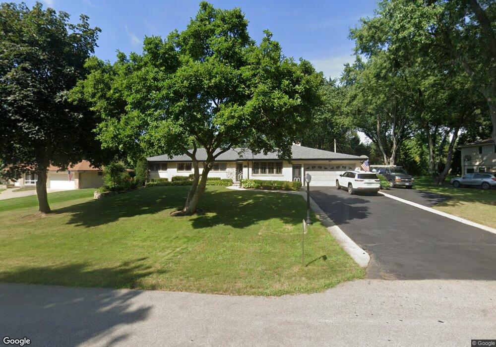
1432 S Monterey Ave Schaumburg, IL 60193
South Schaumburg NeighborhoodEstimated Value: $514,000 - $578,000
4
Beds
3
Baths
1,967
Sq Ft
$277/Sq Ft
Est. Value
About This Home
This home is located at 1432 S Monterey Ave, Schaumburg, IL 60193 and is currently estimated at $545,300, approximately $277 per square foot. 1432 S Monterey Ave is a home located in Cook County with nearby schools including Frederick Nerge Elementary School, Margaret Mead Junior High School, and J B Conant High School.
Ownership History
Date
Name
Owned For
Owner Type
Purchase Details
Closed on
Feb 12, 1998
Sold by
Pflanz Mark S
Bought by
Miller Robert C and Miller Alicja U
Current Estimated Value
Home Financials for this Owner
Home Financials are based on the most recent Mortgage that was taken out on this home.
Original Mortgage
$120,000
Outstanding Balance
$21,149
Interest Rate
6.95%
Estimated Equity
$524,151
Create a Home Valuation Report for This Property
The Home Valuation Report is an in-depth analysis detailing your home's value as well as a comparison with similar homes in the area
Home Values in the Area
Average Home Value in this Area
Purchase History
| Date | Buyer | Sale Price | Title Company |
|---|---|---|---|
| Miller Robert C | $205,000 | -- |
Source: Public Records
Mortgage History
| Date | Status | Borrower | Loan Amount |
|---|---|---|---|
| Open | Miller Robert C | $120,000 |
Source: Public Records
Tax History Compared to Growth
Tax History
| Year | Tax Paid | Tax Assessment Tax Assessment Total Assessment is a certain percentage of the fair market value that is determined by local assessors to be the total taxable value of land and additions on the property. | Land | Improvement |
|---|---|---|---|---|
| 2024 | $9,335 | $39,000 | $8,360 | $30,640 |
| 2023 | $8,974 | $39,000 | $8,360 | $30,640 |
| 2022 | $8,974 | $39,000 | $8,360 | $30,640 |
| 2021 | $6,576 | $27,450 | $23,512 | $3,938 |
| 2020 | $6,579 | $27,450 | $23,512 | $3,938 |
| 2019 | $7,337 | $30,500 | $23,512 | $6,988 |
| 2018 | $7,962 | $29,985 | $19,855 | $10,130 |
| 2017 | $7,833 | $29,985 | $19,855 | $10,130 |
| 2016 | $8,975 | $35,120 | $19,855 | $15,265 |
| 2015 | $8,361 | $30,637 | $16,720 | $13,917 |
| 2014 | $8,264 | $30,637 | $16,720 | $13,917 |
| 2013 | $8,040 | $30,637 | $16,720 | $13,917 |
Source: Public Records
Map
Nearby Homes
- 620 S Point Dr
- 426 E Niagara Ave
- 421 E Wise Rd
- 1139 Rothbury Ct
- 1224 Knottingham Ct Unit 1A
- 1100 Boston Harbor Unit 7004
- 826 Thornton Ct Unit 2AL
- 833 Thornton Ct Unit 2B
- 124 E Monterey Ave
- 1810 Hawk Ln
- 205 Nantucket Harbor Unit 104
- 966 Cumberland Ct Unit B2
- 1623 Indian Hill Dr
- 1845 Maryland Dr
- 1022 Tennessee Ln
- 730 Circle Dr
- 916 Manchester Cir Unit 91A
- 126 Manchester Ct Unit 61B
- 718 N Point Dr
- 1630 Myrtle Park St
- 1422 S Monterey Ave
- 1438 S Monterey Ave
- 1504 S Monterey Ave
- 1439 Blackhawk Dr
- 521 E Monterey Ave
- 1421 S Monterey Ave
- 1439 S Monterey Ave
- 533 Oneida Dr
- 1505 Blackhawk Dr
- 515 E Monterey Ave
- 1510 S Monterey Ave
- 1505 S Monterey Ave
- 1433 Blackhawk Dr
- 1511 Blackhawk Dr
- 1511 S Monterey Ave
- 524 E Monterey Ave
- 1516 S Monterey Ave
- 601 Oneida Dr
- 1411 Sunset Dr
- 1515 S Monterey Ave