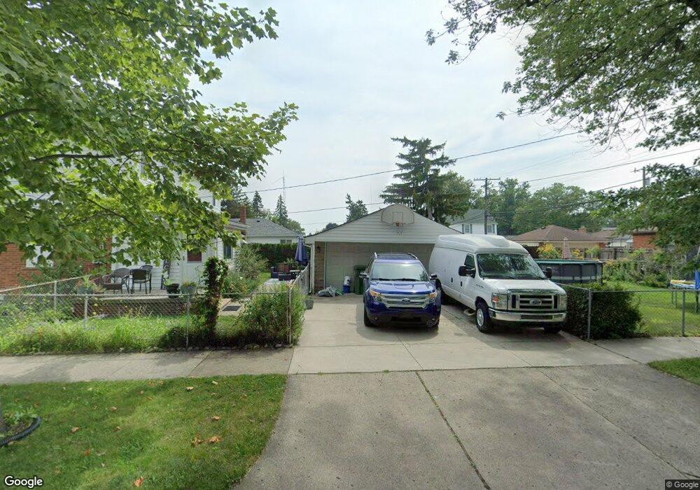
14320 Burns St Unit Bldg-Unit Southgate, MI 48195
Estimated Value: $239,000 - $267,000
3
Beds
3
Baths
1,612
Sq Ft
$158/Sq Ft
Est. Value
About This Home
This home is located at 14320 Burns St Unit Bldg-Unit, Southgate, MI 48195 and is currently estimated at $254,924, approximately $158 per square foot. 14320 Burns St Unit Bldg-Unit is a home located in Wayne County with nearby schools including Grogan Elementary School, Davidson Middle School, and Southgate Anderson High School.
Ownership History
Date
Name
Owned For
Owner Type
Purchase Details
Closed on
Mar 23, 2018
Sold by
Sanchez Adam R
Bought by
Sanchez Adam R
Current Estimated Value
Home Financials for this Owner
Home Financials are based on the most recent Mortgage that was taken out on this home.
Original Mortgage
$166,822
Outstanding Balance
$144,183
Interest Rate
4.75%
Mortgage Type
FHA
Estimated Equity
$110,741
Create a Home Valuation Report for This Property
The Home Valuation Report is an in-depth analysis detailing your home's value as well as a comparison with similar homes in the area
Home Values in the Area
Average Home Value in this Area
Purchase History
| Date | Buyer | Sale Price | Title Company |
|---|---|---|---|
| Sanchez Adam R | -- | Michigan Title Ins Agency In | |
| Sanchez Adam E | $169,900 | First American Title Ins Co |
Source: Public Records
Mortgage History
| Date | Status | Borrower | Loan Amount |
|---|---|---|---|
| Open | Sanchez Adam R | $166,822 |
Source: Public Records
Tax History Compared to Growth
Tax History
| Year | Tax Paid | Tax Assessment Tax Assessment Total Assessment is a certain percentage of the fair market value that is determined by local assessors to be the total taxable value of land and additions on the property. | Land | Improvement |
|---|---|---|---|---|
| 2025 | $4,643 | $119,800 | $0 | $0 |
| 2024 | $4,643 | $113,000 | $0 | $0 |
| 2023 | $3,873 | $101,300 | $0 | $0 |
| 2022 | $4,112 | $91,400 | $0 | $0 |
| 2021 | $4,002 | $82,200 | $0 | $0 |
| 2020 | $3,934 | $73,500 | $0 | $0 |
| 2019 | $3,885 | $66,000 | $0 | $0 |
| 2018 | $2,409 | $58,900 | $0 | $0 |
| 2017 | $1,420 | $54,700 | $0 | $0 |
| 2016 | $2,921 | $56,000 | $0 | $0 |
| 2015 | $5,037 | $54,200 | $0 | $0 |
| 2013 | $4,880 | $49,900 | $0 | $0 |
| 2012 | $2,132 | $47,900 | $7,100 | $40,800 |
Source: Public Records
Map
Nearby Homes
- 13460 Chestnut St
- 14555 Burns St
- 13480 Argyle St
- 13440 Phelps St
- 14268 Trenton Rd
- 14567 Longtin St
- 14620 Trenton Rd
- 13459 Jobin St
- 14370 Pearl St
- 13650 Jobin St
- 14548 Pearl St
- 13728 Agnes St
- 13546 Trenton Rd
- 13787 Irene St
- 13847 Helen St
- 13311 Castle St
- 13632 Pearl St
- 12745 Phelps St
- 14618 Fordline St
- 12937 Walnut St
- 14320 Burns St
- 14334 Burns St
- 13645 Chestnut St
- 14352 Burns St
- 13653 Chestnut St
- 14272 Burns St
- 14366 Burns St
- 14256 Burns St
- 13644 Phelps St
- 14333 Burns St
- 14345 Burns St
- 14315 Burns St
- 13675 Chestnut St
- 13656 Phelps St
- 13644 Chestnut St
- 14357 Burns St
- 14371 Burns St
- 14271 Burns St
- 14234 Burns St
- 13664 Phelps St