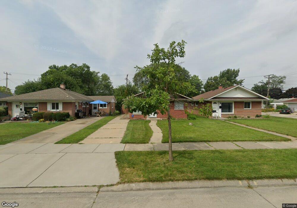
14326 Irene St Unit Bldg-Unit Southgate, MI 48195
Estimated Value: $146,106 - $158,000
2
Beds
1
Bath
840
Sq Ft
$182/Sq Ft
Est. Value
About This Home
This home is located at 14326 Irene St Unit Bldg-Unit, Southgate, MI 48195 and is currently estimated at $152,777, approximately $181 per square foot. 14326 Irene St Unit Bldg-Unit is a home located in Wayne County with nearby schools including Fordline Elementary School, Davidson Middle School, and Southgate Anderson High School.
Ownership History
Date
Name
Owned For
Owner Type
Purchase Details
Closed on
Jul 8, 2022
Sold by
Lindsey Leinart
Bought by
Hinson Ricky K
Current Estimated Value
Purchase Details
Closed on
Aug 2, 2019
Sold by
Lajiness Karen Sue
Bought by
Leinart Lindsey
Home Financials for this Owner
Home Financials are based on the most recent Mortgage that was taken out on this home.
Original Mortgage
$87,387
Interest Rate
3.87%
Mortgage Type
FHA
Purchase Details
Closed on
Nov 23, 2015
Sold by
Npv Investment Llc
Bought by
Lajiness Karen Sue
Home Financials for this Owner
Home Financials are based on the most recent Mortgage that was taken out on this home.
Original Mortgage
$40,598
Interest Rate
3.99%
Mortgage Type
FHA
Purchase Details
Closed on
Jan 22, 2015
Sold by
Lamar Leslie Carol L and Lamar Leslie Jr
Bought by
Npv Investment Llc
Create a Home Valuation Report for This Property
The Home Valuation Report is an in-depth analysis detailing your home's value as well as a comparison with similar homes in the area
Home Values in the Area
Average Home Value in this Area
Purchase History
| Date | Buyer | Sale Price | Title Company |
|---|---|---|---|
| Hinson Ricky K | $136,000 | Michigan Title Insurance Agenc | |
| Leinart Lindsey | $91,000 | Title One Inc | |
| Lajiness Karen Sue | $49,900 | Stg | |
| Npv Investment Llc | $22,951 | None Available |
Source: Public Records
Mortgage History
| Date | Status | Borrower | Loan Amount |
|---|---|---|---|
| Previous Owner | Leinart Lindsey | $87,387 | |
| Previous Owner | Lajiness Karen Sue | $40,598 |
Source: Public Records
Tax History Compared to Growth
Tax History
| Year | Tax Paid | Tax Assessment Tax Assessment Total Assessment is a certain percentage of the fair market value that is determined by local assessors to be the total taxable value of land and additions on the property. | Land | Improvement |
|---|---|---|---|---|
| 2025 | $2,311 | $54,700 | $0 | $0 |
| 2024 | $2,311 | $51,200 | $0 | $0 |
| 2023 | $2,207 | $46,200 | $0 | $0 |
| 2022 | $2,051 | $41,600 | $0 | $0 |
| 2021 | $1,996 | $37,600 | $0 | $0 |
| 2020 | $1,962 | $33,500 | $0 | $0 |
| 2019 | $1,957 | $30,500 | $0 | $0 |
| 2018 | $1,592 | $26,300 | $0 | $0 |
| 2017 | $672 | $24,600 | $0 | $0 |
| 2016 | $1,387 | $24,200 | $0 | $0 |
| 2015 | $2,178 | $23,500 | $0 | $0 |
| 2013 | $2,110 | $22,100 | $0 | $0 |
| 2012 | $930 | $20,800 | $4,000 | $16,800 |
Source: Public Records
Map
Nearby Homes
- 14370 Pearl St
- 13847 Helen St
- 14548 Pearl St
- 14618 Fordline St
- 13787 Irene St
- 0 Poplar St
- 14268 Trenton Rd
- 13728 Agnes St
- 14567 Longtin St
- 13632 Pearl St
- 14620 Trenton Rd
- 13543 Poplar St
- 14394 Windemere St
- 13546 Trenton Rd
- 14791 Windermere St
- 14834 Kennebec St
- 13367 Fordline St
- 13550 Karl St
- 14706 Eureka Rd
- 14555 Burns St