Estimated Value: $270,000 - $454,000
3
Beds
2
Baths
1,577
Sq Ft
$245/Sq Ft
Est. Value
About This Home
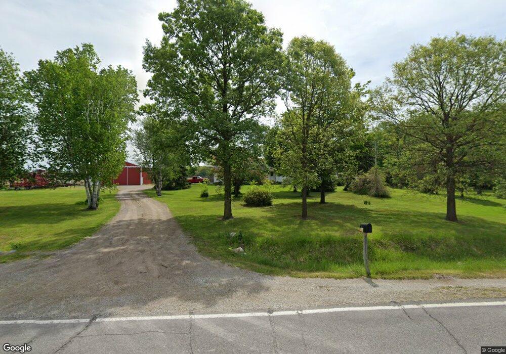
This home is located at 14328 Weir Rd, Clio, MI 48420 and is currently estimated at $385,687, approximately $244 per square foot. 14328 Weir Rd is a home located in Genesee County with nearby schools including George R. Carter Middle School and Clio Area High School.
Ownership History
Date
Name
Owned For
Owner Type
Purchase Details
Closed on
Sep 1, 2004
Sold by
Abuaita Jalal and Abuaita Marlene E
Bought by
Gray Joseph Edward
Current Estimated Value
Purchase Details
Closed on
Jun 17, 1999
Sold by
Barton Paula
Bought by
Abuaita Jalal and Abuaita Marlene E
Home Financials for this Owner
Home Financials are based on the most recent Mortgage that was taken out on this home.
Original Mortgage
$168,000
Interest Rate
7.15%
Mortgage Type
Purchase Money Mortgage
Create a Home Valuation Report for This Property
The Home Valuation Report is an in-depth analysis detailing your home's value as well as a comparison with similar homes in the area
Home Values in the Area
Average Home Value in this Area
Purchase History
| Date | Buyer | Sale Price | Title Company |
|---|---|---|---|
| Gray Joseph Edward | $250,000 | Centennial Title Insurance A | |
| Abuaita Jalal | $210,000 | Centennial Title & Abstract |
Source: Public Records
Mortgage History
| Date | Status | Borrower | Loan Amount |
|---|---|---|---|
| Previous Owner | Abuaita Jalal | $168,000 |
Source: Public Records
Tax History Compared to Growth
Tax History
| Year | Tax Paid | Tax Assessment Tax Assessment Total Assessment is a certain percentage of the fair market value that is determined by local assessors to be the total taxable value of land and additions on the property. | Land | Improvement |
|---|---|---|---|---|
| 2025 | $4,149 | $238,700 | $0 | $0 |
| 2024 | $1,817 | $199,000 | $0 | $0 |
| 2023 | $1,734 | $182,500 | $0 | $0 |
| 2022 | $3,875 | $158,900 | $0 | $0 |
| 2021 | $3,826 | $148,800 | $0 | $0 |
| 2020 | $1,657 | $130,600 | $0 | $0 |
| 2019 | $1,512 | $123,400 | $0 | $0 |
| 2018 | $3,310 | $108,000 | $0 | $0 |
| 2017 | $3,152 | $108,000 | $0 | $0 |
| 2016 | $3,125 | $104,700 | $0 | $0 |
| 2015 | $3,096 | $101,700 | $0 | $0 |
| 2012 | -- | $97,600 | $97,600 | $0 |
Source: Public Records
Map
Nearby Homes
- 4193 W Lake Rd
- 14519 N Linden Rd
- 13474 N Linden Rd
- 2492 W Willard Rd
- 5217 Old Barn Ln
- 4042 W Farrand Rd
- 5212 W Farrand Rd
- 3338 Field Rd
- 12417 Silver Creek Ct Unit 25
- 13060 Country Club Dr
- V/L Field Rd
- 13800 S Block Rd
- 6338 Willard Rd
- 212 Darrow St
- 14049 Tuscola Rd
- 5171 Field Rd
- 12161 Ulmer Rd
- 00 W Vienna Rd
- 106 Butler St
- 520 Clarion St