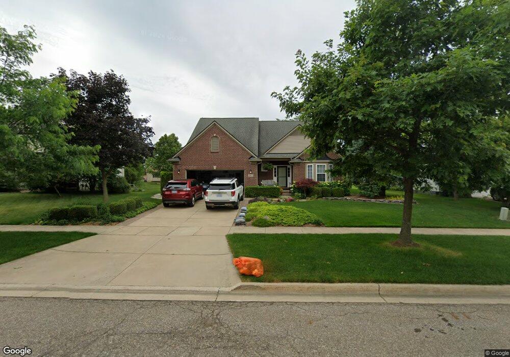
1433 Auston Ln Unit 38 Chelsea, MI 48118
Estimated Value: $490,000 - $536,000
--
Bed
1
Bath
2,629
Sq Ft
$192/Sq Ft
Est. Value
About This Home
This home is located at 1433 Auston Ln Unit 38, Chelsea, MI 48118 and is currently estimated at $504,372, approximately $191 per square foot. 1433 Auston Ln Unit 38 is a home located in Washtenaw County with nearby schools including North Creek Elementary School, South Meadows Elementary School, and Beach Middle School.
Ownership History
Date
Name
Owned For
Owner Type
Purchase Details
Closed on
Jul 16, 2003
Sold by
R Cook Properties Inc
Bought by
Vanreesema Willem and Vanreesema Kristin
Current Estimated Value
Home Financials for this Owner
Home Financials are based on the most recent Mortgage that was taken out on this home.
Original Mortgage
$160,000
Interest Rate
5.3%
Mortgage Type
Unknown
Purchase Details
Closed on
Mar 3, 2003
Sold by
Chelsea Ridge Llc
Bought by
Cook & Richards Llc
Create a Home Valuation Report for This Property
The Home Valuation Report is an in-depth analysis detailing your home's value as well as a comparison with similar homes in the area
Home Values in the Area
Average Home Value in this Area
Purchase History
| Date | Buyer | Sale Price | Title Company |
|---|---|---|---|
| Vanreesema Willem | $291,700 | Liberty Title Agency | |
| R Cook Properties Inc | -- | Liberty Title Agency | |
| Cook & Richards Llc | -- | Liberty Title Company |
Source: Public Records
Mortgage History
| Date | Status | Borrower | Loan Amount |
|---|---|---|---|
| Closed | Vanreesema Willem | $160,000 |
Source: Public Records
Tax History Compared to Growth
Tax History
| Year | Tax Paid | Tax Assessment Tax Assessment Total Assessment is a certain percentage of the fair market value that is determined by local assessors to be the total taxable value of land and additions on the property. | Land | Improvement |
|---|---|---|---|---|
| 2025 | $4,046 | $230,200 | $0 | $0 |
| 2024 | $6,965 | $221,000 | $0 | $0 |
| 2023 | $6,965 | $200,500 | $0 | $0 |
| 2022 | $6,116 | $188,700 | $0 | $0 |
| 2021 | $6,510 | $193,800 | $0 | $0 |
| 2020 | $6,430 | $178,700 | $0 | $0 |
| 2019 | $6,277 | $172,600 | $172,600 | $0 |
| 2018 | $6,088 | $161,500 | $0 | $0 |
| 2017 | $0 | $160,600 | $0 | $0 |
| 2016 | $0 | $121,159 | $0 | $0 |
| 2015 | -- | $120,797 | $0 | $0 |
| 2014 | -- | $114,839 | $0 | $0 |
| 2013 | -- | $114,839 | $0 | $0 |
Source: Public Records
Map
Nearby Homes
- 1374 Provincial Dr
- 13440 Meadowview Dr
- 0 N Freer Rd Unit 25015352
- 706 Knollwood Bend
- 707 Knollwood Bend
- 719 Knollwood Bend
- 725 Knollwood Bend
- 684 Countryside Dr
- 660 Countryside Dr
- 651 Countryside Dr
- Juliet Plan at Heritage Farms
- Sawyer Plan at Heritage Farms
- 516 Heritage Farms Blvd
- Aubrey Plan at Heritage Farms
- Brooklyn Plan at Heritage Farms
- Peyton Plan at Heritage Farms
- 657 Swift Creek Dr
- 13333 Trinkle Rd
- 601 S Main St
- 639 S Main St
- 1423 Auston Ln Unit 37
- 1443 Auston Ln Unit 39
- 1412 Carston Ln Unit 21
- 1422 Carston Ln Unit 20
- 1402 Carston Ln Unit 22
- 1413 Auston Ln Unit 36
- 1453 Auston Ln
- 1362 Carston Ln Unit 23
- 1432 Carston Ln Unit 19
- 1422 Auston Ln Unit 52
- 1442 Auston Ln Unit 54
- 1403 Auston Ln Unit 35
- 1463 Auston Ln Unit 41
- 1412 Auston Ln Unit 51
- 0 Auston Ln
- 1452 Auston Ln Unit 55
- 1442 Carston Ln Unit 18
- 1352 Carston Ln
- 0 Carston Ln
- 1402 Auston Ln Unit 50