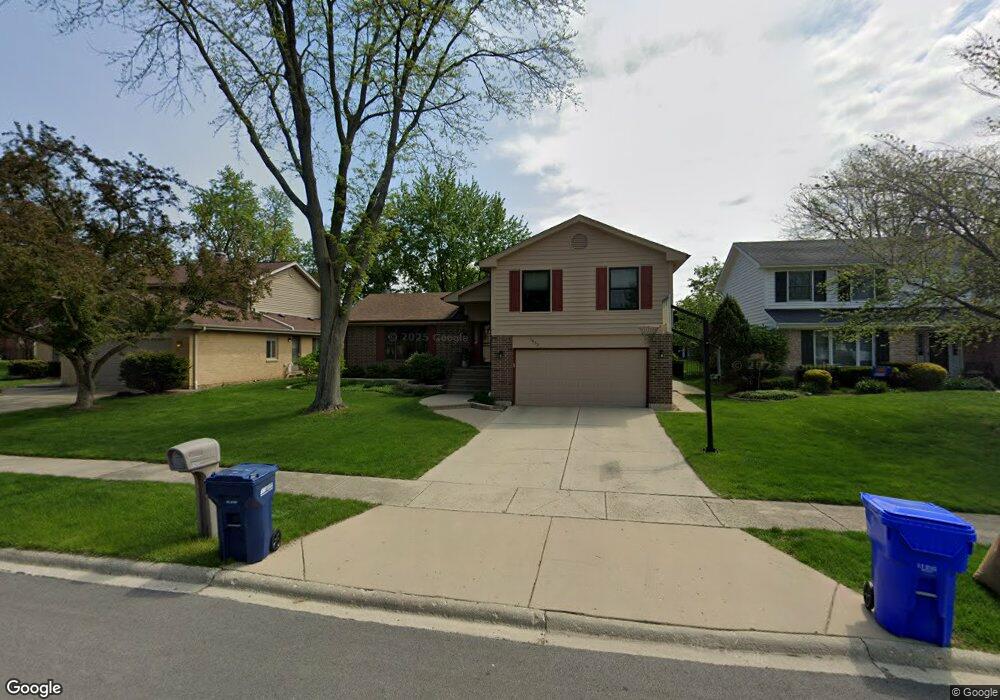
1433 Brandon Dr Wheaton, IL 60189
Southeast Wheaton NeighborhoodEstimated Value: $472,822 - $595,000
4
Beds
3
Baths
1,515
Sq Ft
$359/Sq Ft
Est. Value
About This Home
This home is located at 1433 Brandon Dr, Wheaton, IL 60189 and is currently estimated at $543,956, approximately $359 per square foot. 1433 Brandon Dr is a home located in DuPage County with nearby schools including Lincoln Elementary School, Edison Middle School, and Wheaton Warrenville South High School.
Ownership History
Date
Name
Owned For
Owner Type
Purchase Details
Closed on
Jul 29, 2005
Sold by
Harris Theodore M and Harris Gina M
Bought by
Frey Thomas J and Frey Lisa
Current Estimated Value
Home Financials for this Owner
Home Financials are based on the most recent Mortgage that was taken out on this home.
Original Mortgage
$265,000
Outstanding Balance
$135,522
Interest Rate
5.25%
Mortgage Type
Purchase Money Mortgage
Estimated Equity
$408,434
Purchase Details
Closed on
Apr 27, 1994
Sold by
Heinz Nick Douglas E and Heinz Nick Mary
Bought by
Harris Theodore M and Harris Gina M
Home Financials for this Owner
Home Financials are based on the most recent Mortgage that was taken out on this home.
Original Mortgage
$157,600
Interest Rate
7.84%
Create a Home Valuation Report for This Property
The Home Valuation Report is an in-depth analysis detailing your home's value as well as a comparison with similar homes in the area
Home Values in the Area
Average Home Value in this Area
Purchase History
| Date | Buyer | Sale Price | Title Company |
|---|---|---|---|
| Frey Thomas J | $378,000 | Midwest Title Services Llc | |
| Harris Theodore M | $200,000 | Law Title Insurance |
Source: Public Records
Mortgage History
| Date | Status | Borrower | Loan Amount |
|---|---|---|---|
| Open | Frey Thomas J | $265,000 | |
| Previous Owner | Harris Theodore M | $157,600 |
Source: Public Records
Tax History
| Year | Tax Paid | Tax Assessment Tax Assessment Total Assessment is a certain percentage of the fair market value that is determined by local assessors to be the total taxable value of land and additions on the property. | Land | Improvement |
|---|---|---|---|---|
| 2024 | $9,234 | $151,271 | $35,493 | $115,778 |
| 2023 | $8,869 | $139,240 | $32,670 | $106,570 |
| 2022 | $8,697 | $131,580 | $30,870 | $100,710 |
| 2021 | $8,441 | $128,460 | $30,140 | $98,320 |
| 2020 | $8,640 | $127,260 | $29,860 | $97,400 |
| 2019 | $8,441 | $123,900 | $29,070 | $94,830 |
| 2018 | $8,396 | $121,920 | $27,400 | $94,520 |
| 2017 | $8,269 | $117,420 | $26,390 | $91,030 |
| 2016 | $8,158 | $112,730 | $25,340 | $87,390 |
| 2015 | $8,093 | $107,540 | $24,170 | $83,370 |
| 2014 | $7,408 | $97,360 | $19,110 | $78,250 |
| 2013 | $7,217 | $97,650 | $19,170 | $78,480 |
Source: Public Records
Map
Nearby Homes
- 1026 Briarcliffe Blvd
- 1542 Castlewood Dr
- 1318 Gamon Rd
- 110 E Farnham Ln
- 715 S Naperville Rd
- 1581 Groton Ln
- 1690 Darwin Ct Unit D
- 1682 Monticello Ct Unit D
- 1230 Bunker Hill Ct Unit A
- 1675 Valley Forge Ct Unit A
- 1120 Mount Vernon Ct Unit C
- 1551 Briarcliffe Blvd
- 1500 Pershing Ave
- 510 S President St
- 1338 S Lorraine Rd Unit A
- 909 S Wheaton Ave
- 302 Roscommon Ct
- 1000 S Lorraine Rd Unit 214
- 921 James Ct
- 270 S Ott Ave
- 1415 Brandon Dr Unit 2
- 1445 Brandon Dr
- 1457 Brandon Dr
- 702 Alchester Dr
- 1426 Falson Ct
- 1414 Falson Ct
- 1438 Brandon Dr
- 736 Alchester Dr
- 1426 Brandon Dr
- 1438 Falson Ct
- 1450 Brandon Dr
- 1414 Brandon Dr
- 1469 Brandon Dr
- 770 Alchester Dr
- 1462 Brandon Dr
- 1402 Brandon Dr
- 1450 Falson Ct
- 1410 Falson Ct
- 1477 Brandon Dr
- 1474 Brandon Dr
Your Personal Tour Guide
Ask me questions while you tour the home.