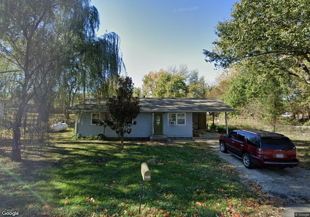
1433 Cedar Dr Lebanon, MO 65536
Estimated Value: $96,981 - $181,000
3
Beds
--
Bath
1,090
Sq Ft
$138/Sq Ft
Est. Value
About This Home
This home is located at 1433 Cedar Dr, Lebanon, MO 65536 and is currently estimated at $150,245, approximately $137 per square foot. 1433 Cedar Dr is a home located in Laclede County with nearby schools including Joe D. Esther Elementary School, Boswell Elementary School, and Maplecrest Elementary School.
Ownership History
Date
Name
Owned For
Owner Type
Purchase Details
Closed on
Dec 8, 2021
Sold by
Wrinkle Michael A and Wrinkle Cherita G
Bought by
Compton Ed and Compton Miranda
Current Estimated Value
Home Financials for this Owner
Home Financials are based on the most recent Mortgage that was taken out on this home.
Original Mortgage
$40,000
Outstanding Balance
$36,804
Interest Rate
3.14%
Mortgage Type
Commercial
Estimated Equity
$113,441
Purchase Details
Closed on
Apr 5, 2018
Sold by
The Revocable Living Trust Agreement Of
Bought by
Wrinkle Michael A and Wrinkle Cherita G
Create a Home Valuation Report for This Property
The Home Valuation Report is an in-depth analysis detailing your home's value as well as a comparison with similar homes in the area
Home Values in the Area
Average Home Value in this Area
Purchase History
| Date | Buyer | Sale Price | Title Company |
|---|---|---|---|
| Compton Ed | -- | Hogan Land Title | |
| Compton Ed | -- | New Title Company Name | |
| Wrinkle Michael A | -- | None Available |
Source: Public Records
Mortgage History
| Date | Status | Borrower | Loan Amount |
|---|---|---|---|
| Open | Compton Ed | $40,000 | |
| Closed | Compton Ed | $40,000 |
Source: Public Records
Tax History Compared to Growth
Tax History
| Year | Tax Paid | Tax Assessment Tax Assessment Total Assessment is a certain percentage of the fair market value that is determined by local assessors to be the total taxable value of land and additions on the property. | Land | Improvement |
|---|---|---|---|---|
| 2025 | $493 | $9,770 | $0 | $0 |
| 2024 | $493 | $8,650 | $0 | $0 |
| 2023 | $508 | $8,650 | $0 | $0 |
| 2022 | $474 | $8,650 | $0 | $0 |
| 2021 | $522 | $8,645 | $1,444 | $7,201 |
| 2020 | $524 | $8,645 | $1,444 | $7,201 |
| 2019 | $491 | $8,450 | $1,440 | $7,010 |
| 2018 | $461 | $8,450 | $1,440 | $7,010 |
| 2017 | $398 | $8,460 | $0 | $0 |
| 2016 | $398 | $8,460 | $0 | $0 |
| 2015 | $398 | $8,460 | $0 | $0 |
| 2014 | $398 | $7,700 | $0 | $0 |
| 2013 | -- | $7,700 | $0 | $0 |
Source: Public Records
Map
Nearby Homes
- 708 Herndon Rd
- 1040 Daytona Dr
- TBD Honeysuckle Cir
- 000 Gateway Rd
- 605 Hunters Creek Dr
- 18826 Highway 64
- 600 Hunters Creek Dr
- 1491 Brice St
- 25611 Open Ridge Ln
- 460 Sunset Dr
- 100 S Bend Rd
- 376 Sunset Dr
- 1250 N Jefferson Ave
- 274 Cornelison St
- 175 Walser St
- 750 Lynn St
- 1075 Lynn St
- 105 S King St
- 829 Lynn St
- 116 Smith Rd