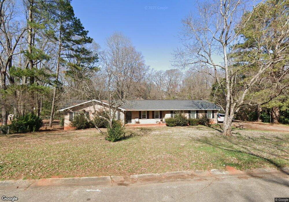
1433 Colony Rd Rock Hill, SC 29730
Estimated Value: $314,308 - $370,000
--
Bed
--
Bath
1,768
Sq Ft
$192/Sq Ft
Est. Value
About This Home
This home is located at 1433 Colony Rd, Rock Hill, SC 29730 and is currently estimated at $339,827, approximately $192 per square foot. 1433 Colony Rd is a home located in York County with nearby schools including Northside Elementary School of The Arts, W.C. Sullivan Middle School, and Rock Hill High School.
Ownership History
Date
Name
Owned For
Owner Type
Purchase Details
Closed on
Dec 16, 2011
Sold by
Deutsche Bank National Trust Company
Bought by
W & N Property Management Inc
Current Estimated Value
Purchase Details
Closed on
Oct 4, 2011
Sold by
Kilpatrick Kevin J
Bought by
Deutsche Bank National Trust Company
Purchase Details
Closed on
Sep 13, 2011
Sold by
Kilpatrick Kevin J
Bought by
Deutsche Bank National Trust Company
Create a Home Valuation Report for This Property
The Home Valuation Report is an in-depth analysis detailing your home's value as well as a comparison with similar homes in the area
Home Values in the Area
Average Home Value in this Area
Purchase History
| Date | Buyer | Sale Price | Title Company |
|---|---|---|---|
| W & N Property Management Inc | $62,000 | -- | |
| Deutsche Bank National Trust Company | $2,500 | -- | |
| Deutsche Bank National Trust Company | $2,500 | -- |
Source: Public Records
Tax History Compared to Growth
Tax History
| Year | Tax Paid | Tax Assessment Tax Assessment Total Assessment is a certain percentage of the fair market value that is determined by local assessors to be the total taxable value of land and additions on the property. | Land | Improvement |
|---|---|---|---|---|
| 2024 | $1,119 | $7,100 | $1,400 | $5,700 |
| 2023 | $1,122 | $7,100 | $1,400 | $5,700 |
| 2022 | $1,130 | $7,100 | $1,400 | $5,700 |
| 2021 | -- | $7,100 | $1,400 | $5,700 |
| 2020 | $1,132 | $7,100 | $0 | $0 |
| 2019 | $1,122 | $6,900 | $0 | $0 |
| 2018 | $1,121 | $6,900 | $0 | $0 |
| 2017 | $943 | $6,900 | $0 | $0 |
| 2016 | $3,727 | $9,420 | $0 | $0 |
| 2014 | $1,652 | $9,420 | $2,100 | $7,320 |
| 2013 | $1,652 | $9,480 | $2,100 | $7,380 |
Source: Public Records
Map
Nearby Homes
- 709 University Dr
- 744 University Dr
- 1508 Eden Terrace
- 733 Norwood Ave
- 742 Norwood Ave
- 637 University Dr
- 622 University Dr
- 591 Rabun Cir
- 1638 Pineburr Ln
- 1321 Eisenhower Rd
- 1755 Bird St
- 1021 Chandler Dr
- 611 Greenbriar Ave
- 1062 Cherry Meadow Ln
- 1098 Farm Pond Ln Unit 5A
- 772 Nations Ct
- 2135 Eden Terrace
- 1110 Mckinnon Dr
- 873 Kentwood Dr
- 876 Kentwood Dr
- 1423 Colony Rd
- 1449 Colony Rd
- 698 Bancroft Dr
- 1415 Colony Rd
- 699 Bancroft Dr
- 733 Ferndale Dr
- 1459 Colony Rd
- 695 Bancroft Dr
- 725 Ferndale Dr
- 1466 Greenwood Ln
- 1458 Greenwood Ln
- 1405 Colony Rd
- 690 Bancroft Dr
- 696 University Dr
- 714 University Dr
- 691 Bancroft Dr
- 1476 Greenwood Ln
- 1511 Colony Rd
- 1450 Greenwood Ln
- 722 University Dr