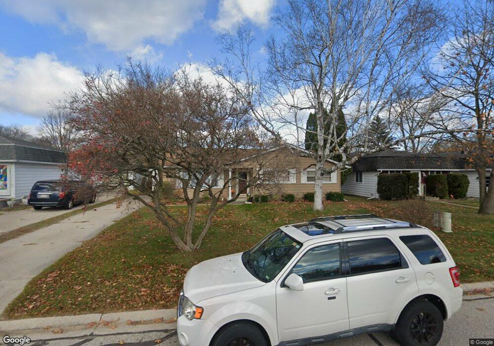
1433 Coventry Ln Port Huron, MI 48060
Estimated Value: $193,000 - $248,000
3
Beds
2
Baths
1,188
Sq Ft
$181/Sq Ft
Est. Value
About This Home
This home is located at 1433 Coventry Ln, Port Huron, MI 48060 and is currently estimated at $214,898, approximately $180 per square foot. 1433 Coventry Ln is a home located in St. Clair County with nearby schools including Garfield Elementary School, Holland Woods Middle School, and Port Huron Northern High School.
Ownership History
Date
Name
Owned For
Owner Type
Purchase Details
Closed on
Jun 29, 2006
Sold by
Ashford Anita R
Bought by
Wahl Jennfer S
Current Estimated Value
Home Financials for this Owner
Home Financials are based on the most recent Mortgage that was taken out on this home.
Original Mortgage
$105,000
Outstanding Balance
$62,577
Interest Rate
6.72%
Mortgage Type
New Conventional
Estimated Equity
$152,321
Create a Home Valuation Report for This Property
The Home Valuation Report is an in-depth analysis detailing your home's value as well as a comparison with similar homes in the area
Home Values in the Area
Average Home Value in this Area
Purchase History
| Date | Buyer | Sale Price | Title Company |
|---|---|---|---|
| Wahl Jennfer S | $120,000 | Devon Title Agency |
Source: Public Records
Mortgage History
| Date | Status | Borrower | Loan Amount |
|---|---|---|---|
| Open | Wahl Jennfer S | $105,000 |
Source: Public Records
Tax History Compared to Growth
Tax History
| Year | Tax Paid | Tax Assessment Tax Assessment Total Assessment is a certain percentage of the fair market value that is determined by local assessors to be the total taxable value of land and additions on the property. | Land | Improvement |
|---|---|---|---|---|
| 2025 | $2,315 | $88,400 | $0 | $0 |
| 2024 | $1,975 | $81,900 | $0 | $0 |
| 2023 | $1,865 | $72,600 | $0 | $0 |
| 2022 | $1,893 | $63,500 | $0 | $0 |
| 2021 | $1,797 | $59,800 | $0 | $0 |
| 2020 | $1,817 | $57,300 | $57,300 | $0 |
| 2019 | $1,784 | $50,100 | $0 | $0 |
| 2018 | $1,745 | $50,100 | $0 | $0 |
| 2016 | $1,333 | $45,800 | $0 | $0 |
| 2015 | $1,308 | $40,600 | $40,600 | $0 |
| 2014 | $1,308 | $37,300 | $37,300 | $0 |
| 2013 | -- | $35,900 | $0 | $0 |
Source: Public Records
Map
Nearby Homes
- 1424 Hazelwood Ln
- 3214 Poplar St
- 3321 Stone St
- 1020 Sanborn St
- 3208 Mount Vernon Rd
- 2913 11th Ave
- 1202 Palmer Ct
- 3455 Gratiot Ave
- 1531 Robinson St
- 3419 Riverside Dr
- 1434 Schumaker St
- 1218 Garfield St
- 2835 17th Ave
- 2812 19th Ave
- 1116 Hancock St
- 2857 Riverside Dr
- 2215 Hancock St
- 3515 Strawberry Ln
- 2400 Stone St Unit 2414
- 2419 Cherry St
- 1435 Coventry Ln
- 1423 Coventry Ln
- 1430 Coventry Ln
- 1436 Coventry Ln
- 1437 Coventry Ln
- 1426 Devonshire Ln
- 1424 Coventry Ln
- 1432 Devonshire Ln
- 1436 Devonshire Ln
- 3424 Appomattox Dr Unit 3426
- 1444 Devonshire Ln
- 1438 Coventry Ln
- 3402 Shenandoah Ave Unit 3404
- 3402 Shenandoah Ave
- 1448 Devonshire Ln
- 3406 Shenandoah Ave
- 3402 Appomattox Dr Unit 3404
- 3400 Shenandoah Ave
- 3440 Appomattox Dr
- 1443 Old Squire Ln