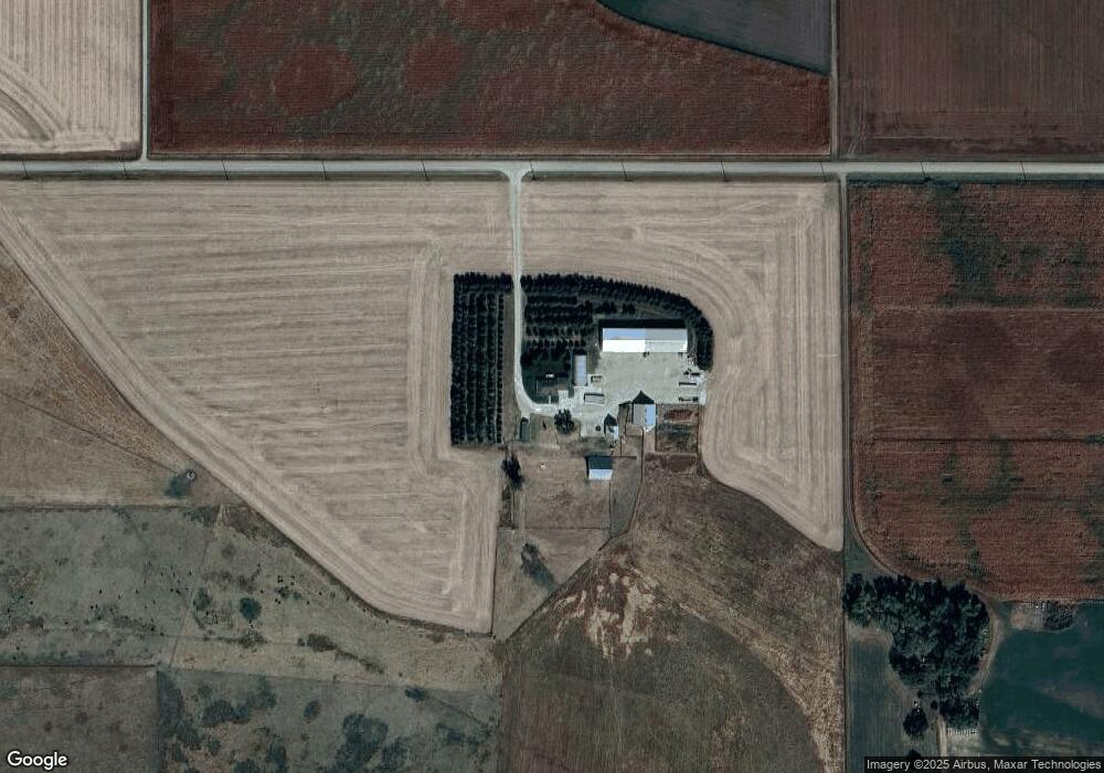
1433 M Rd West Point, NE 68788
Estimated Value: $464,000 - $867,000
2
Beds
3
Baths
1,584
Sq Ft
$358/Sq Ft
Est. Value
About This Home
This home is located at 1433 M Rd, West Point, NE 68788 and is currently estimated at $566,552, approximately $357 per square foot. 1433 M Rd is a home located in Cuming County with nearby schools including West Point-Beemer Junior/Senior High School.
Ownership History
Date
Name
Owned For
Owner Type
Purchase Details
Closed on
Mar 30, 2023
Sold by
Steffen Bart L and Steffen Cheryl A
Bought by
Bart L Steffen Revocable Trust and Cheryl A Steffen Revocable Trust
Current Estimated Value
Purchase Details
Closed on
Jan 10, 2007
Sold by
Ackerman Orphia J
Bought by
Steffen Bart and Steffen Cheryl Anmn
Create a Home Valuation Report for This Property
The Home Valuation Report is an in-depth analysis detailing your home's value as well as a comparison with similar homes in the area
Home Values in the Area
Average Home Value in this Area
Purchase History
| Date | Buyer | Sale Price | Title Company |
|---|---|---|---|
| Bart L Steffen Revocable Trust | -- | -- | |
| Steffen Bart | $395,000 | -- |
Source: Public Records
Mortgage History
| Date | Status | Borrower | Loan Amount |
|---|---|---|---|
| Closed | Steffen Bart | $0 |
Source: Public Records
Tax History Compared to Growth
Tax History
| Year | Tax Paid | Tax Assessment Tax Assessment Total Assessment is a certain percentage of the fair market value that is determined by local assessors to be the total taxable value of land and additions on the property. | Land | Improvement |
|---|---|---|---|---|
| 2025 | $2,018 | $372,225 | $124,605 | $247,620 |
| 2024 | $2,018 | $335,885 | $115,295 | $220,590 |
| 2023 | $2,880 | $319,930 | $105,365 | $214,565 |
| 2022 | $2,788 | $279,865 | $89,900 | $189,965 |
| 2021 | $2,618 | $257,375 | $91,805 | $165,570 |
| 2020 | $2,398 | $238,205 | $95,020 | $143,185 |
| 2019 | $2,304 | $223,830 | $95,090 | $128,740 |
| 2018 | $2,329 | $227,160 | $96,900 | $130,260 |
| 2017 | $2,190 | $207,035 | $85,670 | $121,365 |
| 2016 | $2,199 | $196,270 | $83,075 | $113,195 |
| 2015 | $2,267 | $184,340 | $75,790 | $108,550 |
| 2014 | $3,707 | $178,715 | $71,510 | $107,205 |
| 2013 | $3,707 | $137,835 | $52,310 | $85,525 |
Source: Public Records
Map
Nearby Homes