14332 Palm Rd Sanderson, FL 32087
Sanderson-Glen Saint Mary NeighborhoodEstimated Value: $165,000 - $204,000
--
Bed
1
Bath
792
Sq Ft
$239/Sq Ft
Est. Value
About This Home
This home is located at 14332 Palm Rd, Sanderson, FL 32087 and is currently estimated at $189,565, approximately $239 per square foot. 14332 Palm Rd is a home located in Baker County with nearby schools including Westside Elementary School, Keller Intermediate School, and Baker County Middle School.
Ownership History
Date
Name
Owned For
Owner Type
Purchase Details
Closed on
Oct 17, 2022
Sold by
Dice Darrell
Bought by
Dice Darrell and Dice Dee
Current Estimated Value
Purchase Details
Closed on
Feb 1, 2022
Sold by
Dice Darrell and Dice Margie
Bought by
Dice Dee Dee
Purchase Details
Closed on
May 31, 2018
Sold by
Dice Darrell
Bought by
Dice Margie
Purchase Details
Closed on
Jul 23, 2007
Sold by
Dice Darrell
Bought by
Dice Darlene
Purchase Details
Closed on
Aug 21, 2003
Sold by
Rewis Violet Wanda and Rewis Sr Revocable L Richard L
Bought by
Dice Darrell D
Create a Home Valuation Report for This Property
The Home Valuation Report is an in-depth analysis detailing your home's value as well as a comparison with similar homes in the area
Home Values in the Area
Average Home Value in this Area
Purchase History
| Date | Buyer | Sale Price | Title Company |
|---|---|---|---|
| Dice Darrell | -- | -- | |
| Dice Dee Dee | -- | None Listed On Document | |
| Dice Margie | -- | Attorney | |
| Dice Darlene | -- | None Available | |
| Dice Darrell D | $18,500 | -- |
Source: Public Records
Tax History Compared to Growth
Tax History
| Year | Tax Paid | Tax Assessment Tax Assessment Total Assessment is a certain percentage of the fair market value that is determined by local assessors to be the total taxable value of land and additions on the property. | Land | Improvement |
|---|---|---|---|---|
| 2024 | $343 | $76,994 | -- | -- |
| 2023 | $343 | $74,765 | -- | -- |
| 2022 | $343 | $50,144 | -- | -- |
| 2021 | $343 | $49,306 | $0 | $0 |
| 2020 | $543 | $48,703 | $0 | $0 |
| 2019 | $521 | $47,753 | $0 | $0 |
| 2018 | $412 | $101,956 | $0 | $0 |
| 2017 | $451 | $85,423 | $0 | $0 |
| 2016 | $442 | $76,650 | $0 | $0 |
| 2015 | $425 | $74,108 | $0 | $0 |
| 2014 | $425 | $44,655 | $0 | $0 |
Source: Public Records
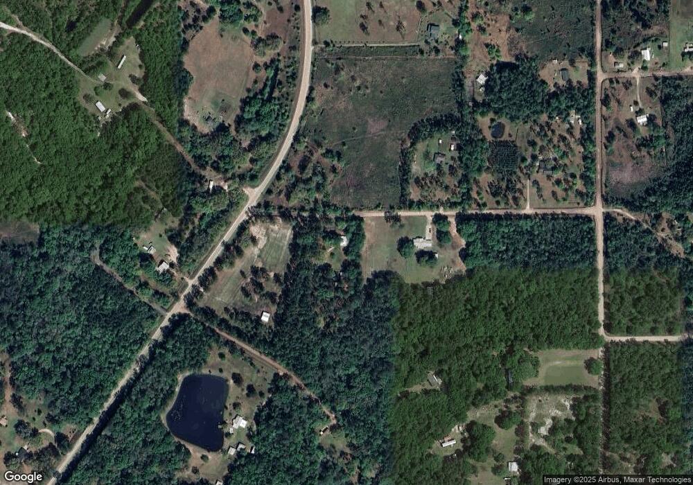
Map
Nearby Homes
- 14680 Happy Ln
- 17073 Jack Dowling Cir
- 20543 Frank Combs Cir
- 20061 Noah Raulerson Rd
- 0 Noah Raulerson Rd
- 21335 S Carl Brown Rd
- 17901 Edward Rd
- 17831 Tommy Rd
- 9757 Highway 185
- 19191 Crews Rd
- 17870 Anne Rd
- 11226 Clarence Bennett Rd
- 0 Old Moniac Rd Unit 10583842
- 17071 Sutton Trail
- 17870 Lil Dixie Dr
- TBA Crews Rd
- 11018 Seneca Ln
- 9824 Woodrow Raulerson Rd
- 1621 Saint Marys River Bluff Rd
- 8942 Odis Yarborough Rd
- 22201 Eddy Grade Rd
- 14262 Palm Rd
- 0 Palm Rd
- 0 Palm Rd
- 14249 Palm Rd
- 27442 Eddy Grade Rd
- 22717 Thannie Harvey Rd
- 14513 Auzzie Harvey Rd
- 22932 Thannie Harvey Rd
- 14129 Palm Rd
- 22309 Eddy Grade Rd
- 22378 Eddy Grade Rd
- 14461 Auzzie Harvey Rd
- 22689 Thannie Harvey Rd
- 22008 Hilltop Rd
- 12234 Country Rd
- 9960 Country Rd
- 23390 Country Rd
- 10114 Country Rd
- 10532 Country Rd