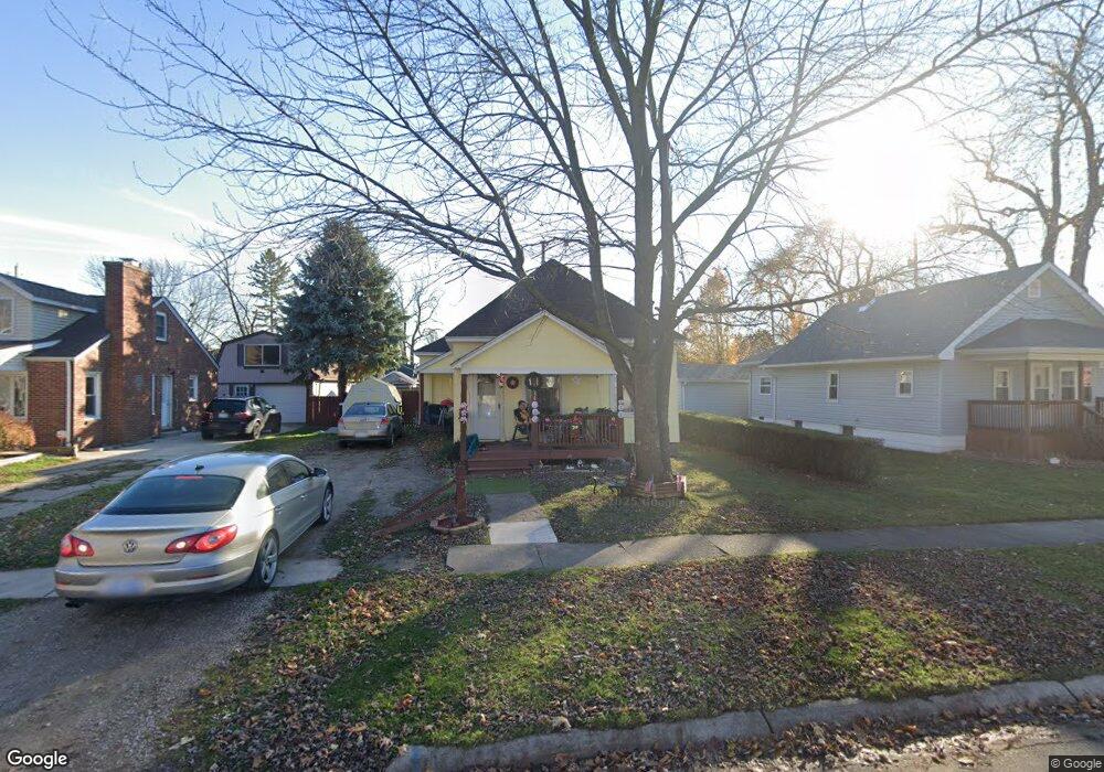
1434 Mcpherson St Port Huron, MI 48060
Estimated Value: $103,000 - $148,000
2
Beds
1
Bath
911
Sq Ft
$140/Sq Ft
Est. Value
About This Home
This home is located at 1434 Mcpherson St, Port Huron, MI 48060 and is currently estimated at $127,558, approximately $140 per square foot. 1434 Mcpherson St is a home located in St. Clair County with nearby schools including H.D. Crull Elementary School, Holland Woods Middle School, and Port Huron Northern High School.
Ownership History
Date
Name
Owned For
Owner Type
Purchase Details
Closed on
Jun 24, 2025
Sold by
Wille Thomas J
Bought by
Thomas J Wille Revocable Trust and Wille
Current Estimated Value
Purchase Details
Closed on
Feb 23, 2016
Sold by
Snellenberger Caremy and Snellenberger Sonya
Bought by
Wille Thomas
Purchase Details
Closed on
Jun 17, 2013
Sold by
Snellenberger Caremy and Snellenberger Sonya
Bought by
Wille Thomas
Purchase Details
Closed on
Feb 15, 2008
Sold by
Sonya Snellenberger Caremy and Sonya Snellelberger
Bought by
Snellenberger Caremy and Snellenberger Sonnya
Purchase Details
Closed on
Mar 8, 2005
Sold by
Snellenberger Carol
Bought by
Snellenberger Caremy
Create a Home Valuation Report for This Property
The Home Valuation Report is an in-depth analysis detailing your home's value as well as a comparison with similar homes in the area
Home Values in the Area
Average Home Value in this Area
Purchase History
| Date | Buyer | Sale Price | Title Company |
|---|---|---|---|
| Thomas J Wille Revocable Trust | -- | None Listed On Document | |
| Thomas J Wille Revocable Trust | -- | None Listed On Document | |
| Wille Thomas | $30,000 | None Available | |
| Wille Thomas | -- | None Available | |
| Snellenberger Caremy | -- | Devon Title Agency | |
| Snellenberger Caremy | -- | None Available |
Source: Public Records
Tax History Compared to Growth
Tax History
| Year | Tax Paid | Tax Assessment Tax Assessment Total Assessment is a certain percentage of the fair market value that is determined by local assessors to be the total taxable value of land and additions on the property. | Land | Improvement |
|---|---|---|---|---|
| 2025 | $1,399 | $44,200 | $0 | $0 |
| 2024 | $1,176 | $40,900 | $0 | $0 |
| 2023 | $1,113 | $36,300 | $0 | $0 |
| 2022 | $1,063 | $31,000 | $0 | $0 |
| 2021 | $1,015 | $27,900 | $0 | $0 |
| 2020 | $1,019 | $25,900 | $25,900 | $0 |
| 2019 | $1,001 | $17,800 | $0 | $0 |
| 2018 | $979 | $17,800 | $0 | $0 |
| 2016 | $790 | $16,700 | $0 | $0 |
| 2015 | $775 | $15,100 | $15,100 | $0 |
| 2014 | $775 | $14,400 | $14,400 | $0 |
| 2013 | -- | $14,400 | $0 | $0 |
Source: Public Records
Map
Nearby Homes
- 1620 McBrady St
- 1649 Whipple St
- 1433 Poplar St
- 1733 Whipple St
- 1907 Riverside Dr
- 1819 Riverside Dr
- 1417 Kearney St
- 2400 Stone St Unit 2414
- 0000 Campau Ave
- 1116 Hancock St
- 2419 Cherry St
- 917 Saint Clair St
- 1002 Erie St
- 1321 Nelson St
- 29 Taylor St
- 2215 Hancock St
- 2431 Armour St
- 711 Stanton St
- 2534 Forest St
- 1819 Kern St
- 1438 Mcpherson St
- 1428 Mcpherson St
- 1722 11th Ave
- 1424 Mcpherson St
- 1418 Mcpherson St
- 1425 Mcpherson St
- 1716 11th Ave
- 1721 11th Ave
- 1733 11th Ave
- 1514 Mcpherson St
- 1419 Mcpherson St
- 1414 Mcpherson St
- 1807 11th Ave
- 1421 Whipple St
- 1507 Mcpherson St
- 1713 11th Ave
- 1417 Whipple St
- 1513 Mcpherson St
- 1528 Mcpherson St
- 1814 11th Ave