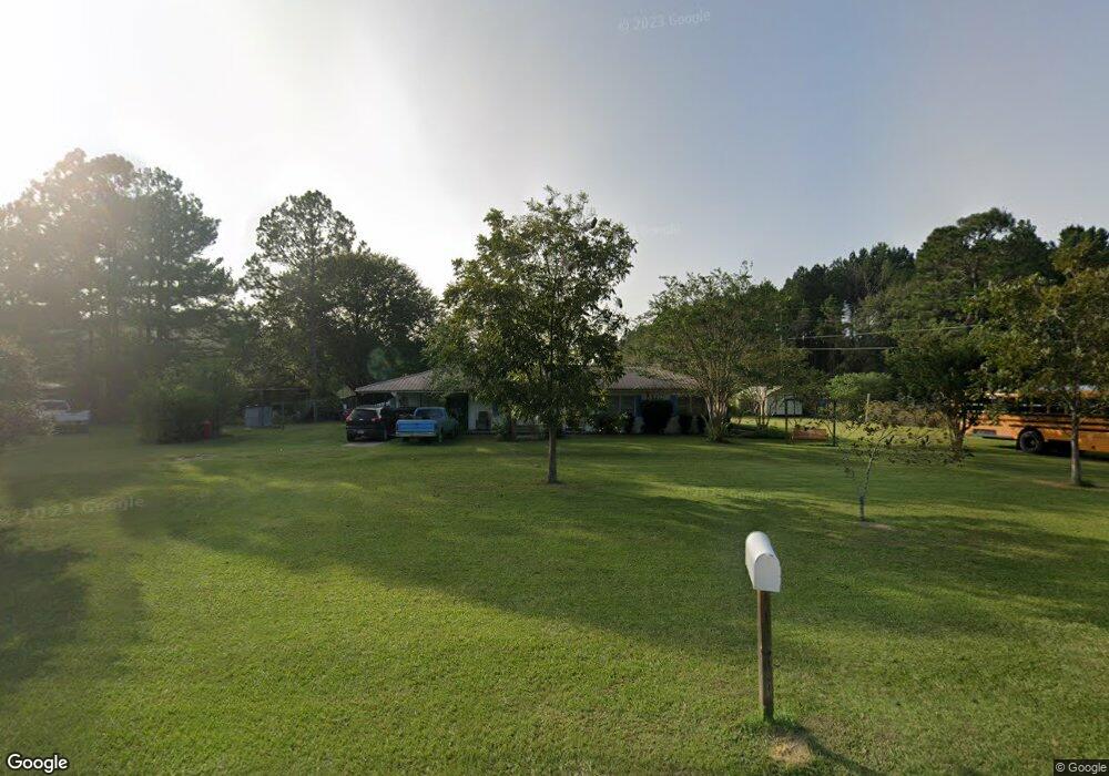
1434 Odum Rd S Screven, GA 31560
Estimated Value: $89,000 - $193,000
--
Bed
1
Bath
1,412
Sq Ft
$99/Sq Ft
Est. Value
About This Home
This home is located at 1434 Odum Rd S, Screven, GA 31560 and is currently estimated at $139,834, approximately $99 per square foot. 1434 Odum Rd S is a home located in Wayne County with nearby schools including Odum Elementary School, Martha Puckett Middle School, and Wayne County High School.
Ownership History
Date
Name
Owned For
Owner Type
Purchase Details
Closed on
Aug 10, 2006
Sold by
Roberson Bessie
Bought by
Manning Joseph
Current Estimated Value
Home Financials for this Owner
Home Financials are based on the most recent Mortgage that was taken out on this home.
Original Mortgage
$50,600
Interest Rate
6.67%
Mortgage Type
New Conventional
Purchase Details
Closed on
Jul 1, 2004
Bought by
Roberson Bessie G
Purchase Details
Closed on
Dec 1, 1992
Create a Home Valuation Report for This Property
The Home Valuation Report is an in-depth analysis detailing your home's value as well as a comparison with similar homes in the area
Home Values in the Area
Average Home Value in this Area
Purchase History
| Date | Buyer | Sale Price | Title Company |
|---|---|---|---|
| Manning Joseph | $43,367 | -- | |
| Roberson Bessie G | $49,300 | -- | |
| -- | -- | -- |
Source: Public Records
Mortgage History
| Date | Status | Borrower | Loan Amount |
|---|---|---|---|
| Closed | Manning Joseph | $50,600 |
Source: Public Records
Tax History Compared to Growth
Tax History
| Year | Tax Paid | Tax Assessment Tax Assessment Total Assessment is a certain percentage of the fair market value that is determined by local assessors to be the total taxable value of land and additions on the property. | Land | Improvement |
|---|---|---|---|---|
| 2024 | $746 | $33,178 | $482 | $32,696 |
| 2023 | $874 | $29,120 | $482 | $28,638 |
| 2022 | $580 | $23,437 | $482 | $22,955 |
| 2021 | $518 | $20,361 | $482 | $19,879 |
| 2020 | $558 | $20,983 | $1,104 | $19,879 |
| 2019 | $574 | $20,983 | $1,104 | $19,879 |
| 2018 | $574 | $20,983 | $1,104 | $19,879 |
| 2017 | $478 | $20,983 | $1,104 | $19,879 |
| 2016 | $478 | $20,983 | $1,104 | $19,879 |
| 2014 | $480 | $20,983 | $1,104 | $19,879 |
| 2013 | -- | $20,983 | $1,104 | $19,879 |
Source: Public Records
Map
Nearby Homes
- 21 AC Hwy 341
- 10.00 AC Hwy 341 Odum Hwy
- 0 N Church St
- 0 Tract 3 Hwy 341 & Bennett Mill Pond Rd Unit 1656129
- 0 Tract 6 Hwy 341 & Bennett Mill Rd Unit 1656128
- 000 Beards Bluff Rd
- 10 Beards Bluff Rd
- Lot 00 Moss Landing
- Lots 26+ Moss Landing
- Lot 21 Moss Landing
- 0 Bennett Mill Pond Rd
- 468 Lake Lanell Rd
- 468 Lake Lannell Rd
- 4848 Holmesville Rd
- 10.00 AC Highway 341
- TRACT 2 Bennett Mill Pond Rd
- Tract 4 Bennett Mill Pond Rd
- Tract 3 Bennett Mill Pond Rd
- TRACT 1 Bennett Mill Pond Rd
- 1435 Bennett Crossing
- 1400 Odum Rd S
- 93 Sassafrass Rd
- 1374 Odum Rd S
- 1500 Odum Rd S
- 129 Sassafrass Rd
- 1270 Odum Rd S
- 1560 Odum Rd S
- 147 Sassafrass Rd
- 267 Sassafrass Rd
- 1640 Odum Rd S
- 1567 Odum Rd S
- 1005 Odum Rd S
- 2003 Odum Rd S
- 210 Hyman Martin Rd
- 30 Reddish Rd
- 0 Maisie Dr Unit 10321619
- 0 Maisie Dr Unit 154858
- 138 Reddish Rd
- 440 S Church St
- 428 S Church St