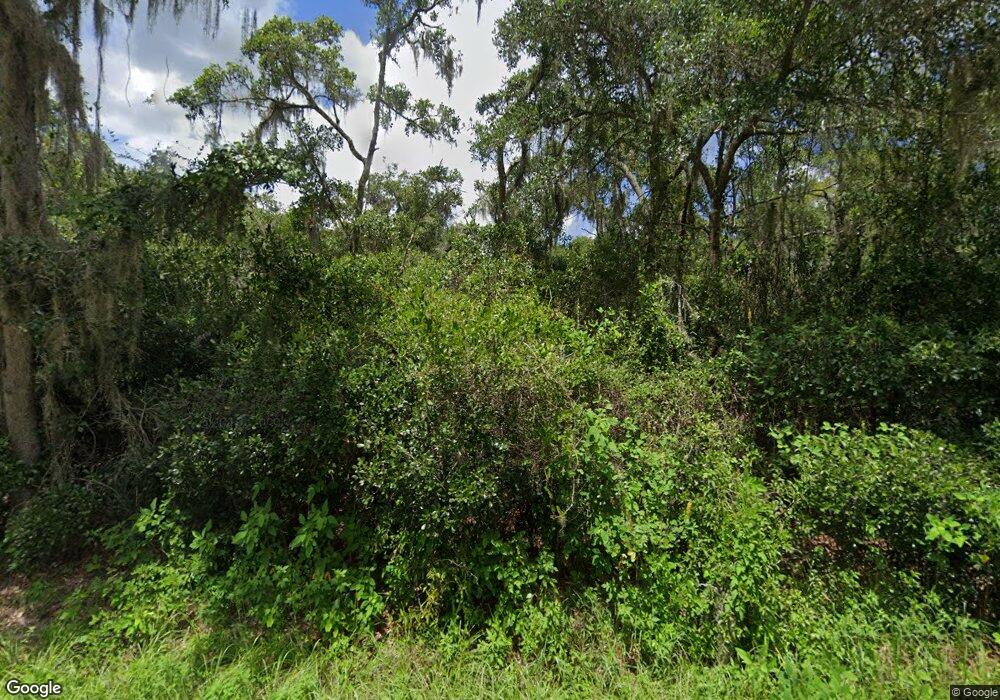
1435 Carter Rd Deland, FL 32724
North DeLand NeighborhoodEstimated Value: $527,000 - $891,974
2
Beds
3
Baths
2,049
Sq Ft
$337/Sq Ft
Est. Value
About This Home
This home is located at 1435 Carter Rd, Deland, FL 32724 and is currently estimated at $689,991, approximately $336 per square foot. 1435 Carter Rd is a home with nearby schools including Deland High School, George W. Marks Elementary School, and Deland Middle School.
Ownership History
Date
Name
Owned For
Owner Type
Purchase Details
Closed on
Apr 19, 2002
Sold by
Hilden Jay Galen
Bought by
Hilden Jay Galen and Hilden Kim Elizabeth
Current Estimated Value
Purchase Details
Closed on
Jan 15, 1991
Bought by
Reynolds Brian
Purchase Details
Closed on
Oct 15, 1990
Bought by
Reynolds Brian
Purchase Details
Closed on
Nov 15, 1987
Bought by
Reynolds Brian
Purchase Details
Closed on
Apr 15, 1980
Bought by
Reynolds Brian
Create a Home Valuation Report for This Property
The Home Valuation Report is an in-depth analysis detailing your home's value as well as a comparison with similar homes in the area
Home Values in the Area
Average Home Value in this Area
Purchase History
| Date | Buyer | Sale Price | Title Company |
|---|---|---|---|
| Hilden Jay Galen | -- | -- | |
| Reynolds Brian | $160,000 | -- | |
| Reynolds Brian | $100 | -- | |
| Reynolds Brian | $100 | -- | |
| Reynolds Brian | $100 | -- |
Source: Public Records
Tax History Compared to Growth
Tax History
| Year | Tax Paid | Tax Assessment Tax Assessment Total Assessment is a certain percentage of the fair market value that is determined by local assessors to be the total taxable value of land and additions on the property. | Land | Improvement |
|---|---|---|---|---|
| 2025 | $6,828 | $430,120 | -- | -- |
| 2024 | $6,828 | $417,999 | -- | -- |
| 2023 | $6,828 | $405,825 | $0 | $0 |
| 2022 | $6,741 | $394,005 | $0 | $0 |
| 2021 | $7,033 | $382,529 | $0 | $0 |
| 2020 | $6,609 | $360,257 | $0 | $0 |
| 2019 | $6,862 | $352,157 | $0 | $0 |
| 2018 | $6,133 | $310,968 | $0 | $0 |
| 2017 | $6,189 | $304,572 | $0 | $0 |
| 2016 | $2,639 | $115,986 | $0 | $0 |
| 2015 | $2,681 | $114,451 | $0 | $0 |
| 2014 | $2,799 | $119,861 | $0 | $0 |
Source: Public Records
Map
Nearby Homes
- 1077 Quail Dr
- 1061 Marcy Dr
- 1061 Robin Dr
- 1029 Robin Dr
- 1020 Quail Dr
- 1040 Cedar Glen Dr
- 1013 Quail Dr
- 1021 Robin Dr
- 1042 Chapel Creek Ln Unit 1042Cha
- 1008 Cedar Glen Dr
- 987 Robin Dr
- 1018 Mahogany Bend Dr
- 979 Robin Dr
- 1018 Chapel Creek Ln
- 3140 Meadowlea Dr
- 3282 Country Ln
- 924 Quail Dr
- 1618 Palm Ave
- 1702 Palmetto Ave
- 762 Onyx Pkwy
- 1411 Carter Rd
- 3340 Cross Branch Rd
- 3098 Marsh Rd
- 3200 Marsh Rd
- 0 Cross Branch Rd Unit V4619146
- 0 Cross Branch Rd Unit V4924535
- 3440 Cross Branch Rd
- 3230 Marsh Rd
- 3205 Cross Branch Rd
- 3699 Cross Branch Rd
- 3328 Marsh Rd
- 3203 Marsh Rd
- 3333 Marsh Rd
- 3030 Marsh Rd
- 3327 Marsh Rd
- 3466 Cross Branch Rd
- 2990 Marsh Rd
- 3139 Cross Branch Rd
- 3690 Cross Branch Rd
- 3515 Marsh Rd
