Estimated Value: $304,658 - $578,000
--
Bed
1
Bath
1,644
Sq Ft
$259/Sq Ft
Est. Value
About This Home
This home is located at 1435 Mccord Rd, Ionia, MI 48846 and is currently estimated at $425,915, approximately $259 per square foot. 1435 Mccord Rd is a home located in Ionia County with nearby schools including Saranac Elementary School, Saranac Junior/Senior High School, and Saints Peter and Paul Catholic School.
Ownership History
Date
Name
Owned For
Owner Type
Purchase Details
Closed on
Mar 27, 2006
Sold by
Avery Daniel Leroy
Bought by
Avery Daniel Leroy and Avery Carla
Current Estimated Value
Home Financials for this Owner
Home Financials are based on the most recent Mortgage that was taken out on this home.
Original Mortgage
$133,000
Interest Rate
6.48%
Mortgage Type
Fannie Mae Freddie Mac
Create a Home Valuation Report for This Property
The Home Valuation Report is an in-depth analysis detailing your home's value as well as a comparison with similar homes in the area
Home Values in the Area
Average Home Value in this Area
Purchase History
| Date | Buyer | Sale Price | Title Company |
|---|---|---|---|
| Avery Daniel Leroy | -- | American Title Solutions |
Source: Public Records
Mortgage History
| Date | Status | Borrower | Loan Amount |
|---|---|---|---|
| Closed | Avery Daniel Leroy | $133,000 | |
| Closed | Avery Daniel Leroy | $33,250 |
Source: Public Records
Tax History Compared to Growth
Tax History
| Year | Tax Paid | Tax Assessment Tax Assessment Total Assessment is a certain percentage of the fair market value that is determined by local assessors to be the total taxable value of land and additions on the property. | Land | Improvement |
|---|---|---|---|---|
| 2025 | $4,262 | $158,000 | $14,300 | $143,700 |
| 2024 | $1,473 | $158,000 | $14,300 | $143,700 |
| 2023 | $1,405 | $135,800 | $11,500 | $124,300 |
| 2022 | $1,224 | $135,800 | $11,500 | $124,300 |
| 2021 | $1,526 | $60,800 | $9,500 | $51,300 |
| 2020 | $521 | $60,800 | $9,500 | $51,300 |
| 2019 | $485 | $58,300 | $10,000 | $48,300 |
| 2018 | $1,448 | $53,000 | $10,800 | $42,200 |
| 2017 | $489 | $53,000 | $10,800 | $42,200 |
| 2016 | $485 | $46,400 | $10,800 | $35,600 |
| 2015 | -- | $46,400 | $10,800 | $35,600 |
| 2014 | -- | $45,100 | $10,800 | $34,300 |
Source: Public Records
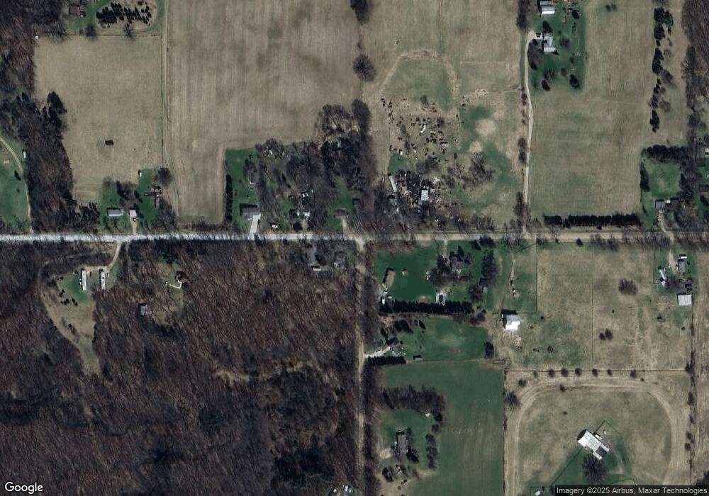
Map
Nearby Homes
- Parcel A Sayles Rd
- 1979 W Riverside Dr
- 778 McKinch Dr
- 0 Sayles Rd Unit 25051613
- 2180 Harwood Rd
- 1232 W Main St
- 255 Whispering Creek Dr
- 4336 Ainsworth Rd
- 1133 Yeomans St Unit 99
- 1133 Yeomans St Unit 118
- 1133 Yeomans St Unit 105
- 1133 Yeomans St Unit 243
- 1133 Yeomans St Unit 55
- 1133 Yeomans St Unit 130
- 1133 Yeomans St Unit 129
- 1133 Yeomans St Unit 138
- 1133 Yeomans St Unit 256
- 1133 Yeomans St Unit 19
- 1133 Yeomans St Unit 193
- LOT 65 Hosford Dr
- 1473 Mccord Rd
- 3685 Detmer Rd
- 3707 Turkey Trail
- 4060 W Bluewater Hwy
- 3586 W Bluewater Hwy
- 3656 W Bluewater Hwy
- 4342 W Bluewater Hwy
- 4354 W Bluewater Hwy
- 3685 W Bluewater Hwy
- 3946 W Bluewater Hwy
- 3560 W Bluewater Hwy
- 3935 W Bluewater Hwy
- 3935 W Bluewater Hwy
- 3580 W Bluewater Hwy
- 3575 Turkey Trail
- 3880 W Bluewater Hwy
- 3918 W Bluewater Hwy
- 1194 Mccord Rd
- 3944 W Bluewater Hwy Unit 3946
- 3475 W Bluewater Hwy