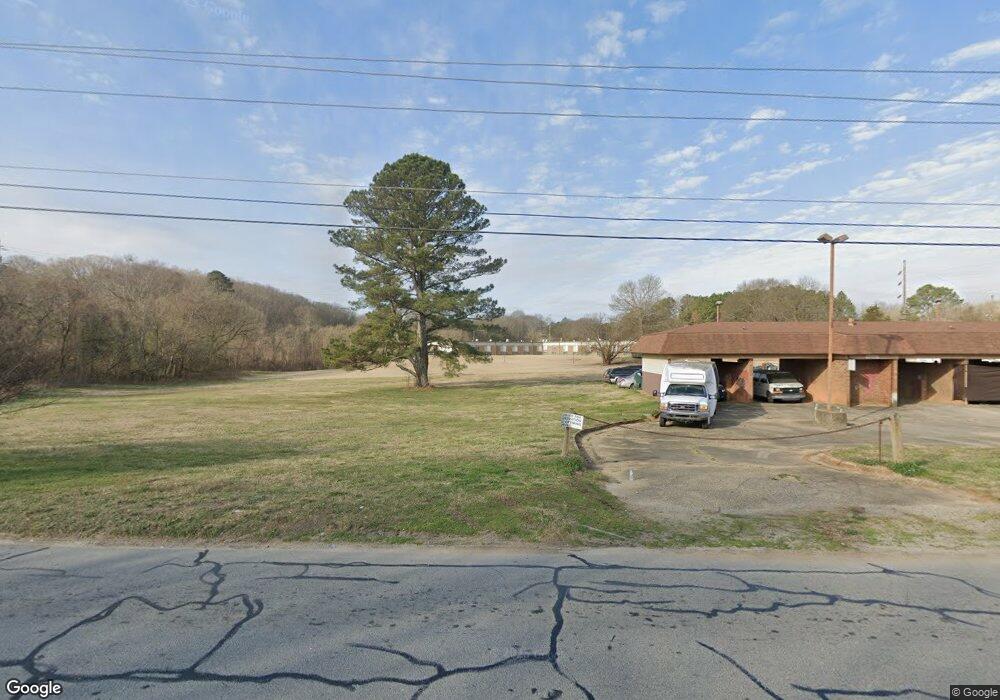
1435 N Chase St Athens, GA 30601
Estimated Value: $314,129
--
Bed
--
Bath
3,300
Sq Ft
$95/Sq Ft
Est. Value
About This Home
This home is located at 1435 N Chase St, Athens, GA 30601 and is currently estimated at $314,129, approximately $95 per square foot. 1435 N Chase St is a home located in Clarke County with nearby schools including Johnnie Lay Burks Elementary School, Clarke Middle School, and Clarke Central High School.
Ownership History
Date
Name
Owned For
Owner Type
Purchase Details
Closed on
Jul 15, 2019
Sold by
Lonon Anthony L
Bought by
Lonon Anthony L and Lonon Deborah B
Current Estimated Value
Home Financials for this Owner
Home Financials are based on the most recent Mortgage that was taken out on this home.
Original Mortgage
$107,000
Interest Rate
3.82%
Mortgage Type
Commercial
Purchase Details
Closed on
Jul 13, 2009
Sold by
Grandview Inc Intermediate Care
Bought by
Grand-View Intermediate Care Center Inc
Create a Home Valuation Report for This Property
The Home Valuation Report is an in-depth analysis detailing your home's value as well as a comparison with similar homes in the area
Home Values in the Area
Average Home Value in this Area
Purchase History
| Date | Buyer | Sale Price | Title Company |
|---|---|---|---|
| Lonon Anthony L | -- | -- | |
| Lonon Anthony L | $165,000 | -- | |
| Williamson Betty B | -- | -- | |
| Grand-View Intermediate Care Center Inc | -- | -- |
Source: Public Records
Mortgage History
| Date | Status | Borrower | Loan Amount |
|---|---|---|---|
| Closed | Williamson Betty B | $107,000 |
Source: Public Records
Tax History Compared to Growth
Tax History
| Year | Tax Paid | Tax Assessment Tax Assessment Total Assessment is a certain percentage of the fair market value that is determined by local assessors to be the total taxable value of land and additions on the property. | Land | Improvement |
|---|---|---|---|---|
| 2024 | $2,899 | $70,183 | $62,955 | $7,228 |
| 2023 | $2,193 | $68,571 | $62,955 | $5,616 |
| 2022 | $2,187 | $68,571 | $62,955 | $5,616 |
| 2021 | $2,311 | $68,571 | $62,955 | $5,616 |
| 2020 | $2,224 | $68,571 | $62,955 | $5,616 |
| 2019 | $3,397 | $100,060 | $89,936 | $10,124 |
| 2018 | $3,397 | $100,060 | $89,936 | $10,124 |
| 2017 | $3,397 | $100,060 | $89,936 | $10,124 |
| 2016 | $2,686 | $79,109 | $62,955 | $16,154 |
| 2015 | $2,697 | $79,336 | $53,144 | $26,192 |
| 2014 | $2,701 | $79,337 | $53,144 | $26,193 |
Source: Public Records
Map
Nearby Homes
- 165 Maxey Blvd
- 155 Maxey Blvd
- 135 Maxey Blvd
- 697 Barber St
- 195 Beulah Ave
- 270 Atlanta Ave
- 170 Fritz Mar Ln
- 163 Easy St
- 145 Hendrix Ave
- 668 Pulaski St
- 248 Fern Ridge Ct
- 239 Ruth St Unit 15
- 570 Prince Ave
- 143 Barrow St
- 600 Pulaski St
- 552 Cobb St
- 185 Fairway Cir
- 559 Pulaski St
- 257 Hill St
- 100 Prince Ave Unit A404
- 165 Newton Bridge Rd
- 9.525 ac Paradise Blvd
- 7.883 ac Paradise Blvd
- 0 Paradise Blvd
- 115 Maxey Blvd
- 145 Maxey Blvd
- 145 Maxey Blvd
- 0 Maxey Blvd Unit 8798462
- 0 Maxey Blvd Unit 8826695
- 0 Maxey Blvd Unit 8332353
- 0 Maxey Blvd
- 120 Maxey Blvd
- 120 Maxey Blvd Unit 1
- 120 Maxey Blvd Unit 1&2
- 0 Dairy Pak Rd Unit CM326068
- 0 Dairy Pak Rd Unit CM459633
- 0 Dairy Pak Rd Unit 969521
- 0 Dairy Pak Rd Unit 8599141
- 0 Dairy Pak Rd
- 290 Dairy Pak Rd