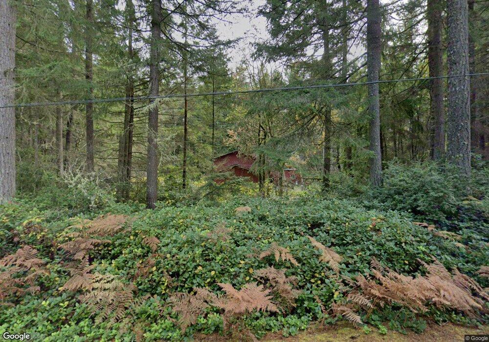
1435 NW Lassie Ln Poulsbo, WA 98370
Estimated Value: $601,383 - $732,000
2
Beds
1
Bath
1,290
Sq Ft
$501/Sq Ft
Est. Value
About This Home
This home is located at 1435 NW Lassie Ln, Poulsbo, WA 98370 and is currently estimated at $646,596, approximately $501 per square foot. 1435 NW Lassie Ln is a home located in Kitsap County with nearby schools including Vinland Elementary School, Poulsbo Middle School, and North Kitsap High School.
Ownership History
Date
Name
Owned For
Owner Type
Purchase Details
Closed on
Apr 14, 2018
Sold by
Becker Gerald Allen
Bought by
Becker Ann M
Current Estimated Value
Home Financials for this Owner
Home Financials are based on the most recent Mortgage that was taken out on this home.
Original Mortgage
$196,000
Interest Rate
4.44%
Mortgage Type
New Conventional
Create a Home Valuation Report for This Property
The Home Valuation Report is an in-depth analysis detailing your home's value as well as a comparison with similar homes in the area
Home Values in the Area
Average Home Value in this Area
Purchase History
| Date | Buyer | Sale Price | Title Company |
|---|---|---|---|
| Becker Ann M | -- | Title Source |
Source: Public Records
Mortgage History
| Date | Status | Borrower | Loan Amount |
|---|---|---|---|
| Closed | Becker Ann M | $196,000 |
Source: Public Records
Tax History Compared to Growth
Tax History
| Year | Tax Paid | Tax Assessment Tax Assessment Total Assessment is a certain percentage of the fair market value that is determined by local assessors to be the total taxable value of land and additions on the property. | Land | Improvement |
|---|---|---|---|---|
| 2026 | $4,281 | $477,860 | $187,280 | $290,580 |
| 2025 | $4,281 | $477,860 | $187,280 | $290,580 |
| 2024 | $4,429 | $511,850 | $157,770 | $354,080 |
| 2023 | $4,500 | $511,850 | $157,770 | $354,080 |
| 2022 | $3,922 | $422,640 | $131,140 | $291,500 |
| 2021 | $3,731 | $371,660 | $114,740 | $256,920 |
| 2020 | $3,618 | $355,010 | $109,620 | $245,390 |
| 2019 | $3,404 | $333,020 | $102,450 | $230,570 |
| 2018 | $3,022 | $252,660 | $85,870 | $166,790 |
| 2017 | $2,901 | $252,660 | $85,870 | $166,790 |
| 2016 | $2,938 | $235,740 | $85,870 | $149,870 |
| 2015 | $2,728 | $220,030 | $85,870 | $134,160 |
| 2014 | -- | $212,770 | $85,870 | $126,900 |
| 2013 | -- | $212,770 | $85,870 | $126,900 |
Source: Public Records
Map
Nearby Homes
- 1870 NW Vaa Rd
- 23607 Coburg Place NW
- 23600 Dunbar Place NW
- 24028 Vinland Terrace NW
- 25749 Pyramid Ln NW
- 25443 Pioneer Way NW
- 24478 Johnson Rd NW
- 0 Pioneer Way NW
- 23490 Marinwood Cir NE Unit 1212
- 1841 NW Russell St
- 1918 NW Russell St
- 26495 NW Edgewater Blvd
- 1881 NW Seclusion Cove Way
- 2 Rhododendron Ln NW
- 26654 NW Lofall Rd
- 1442 NW Swenson Ct Unit 22
- 0 State Hwy 3 NE Unit NWM2410405
- 1454 NW Swenson Ct Unit 20
- 1460 NW Swenson Ct Unit 19
- 1466 NW Swenson Ct Unit 18
- 1410 NW Lassie Ln
- 1490 NW Lassie Ln
- 1570 NW Lassie Ln
- 24581 Mason Rd NW
- 1646 NW Lassie Ln
- 1258 NW Lassie Ln
- 24740 Mason Rd NW
- 27458 Mason Rd NW
- 24700 Mason Rd NW
- 24730 Mason Rd NW
- 1374 NW Pioneer Hill Rd
- 1494 NW Pioneer Hill Rd
- 24720 Mason Rd NW
- 24570 Mason Rd NW
- 24540 Mason Rd NW
- 1441 NW Pioneer Hill Rd
- 24490 Mason Rd NW
- 24770 Mason Rd NW
- 1740 Brothers Ln NW
- 1750 Brothers Ln NW