1435 Old Miller Rd Maysville, GA 30558
Estimated Value: $1,767,000 - $2,083,000
--
Bed
--
Bath
2,474
Sq Ft
$781/Sq Ft
Est. Value
About This Home
This home is located at 1435 Old Miller Rd, Maysville, GA 30558 and is currently estimated at $1,932,313, approximately $781 per square foot. 1435 Old Miller Rd is a home with nearby schools including Maysville Elementary School, East Jackson Middle School, and East Jackson Comprehensive High School.
Ownership History
Date
Name
Owned For
Owner Type
Purchase Details
Closed on
Aug 10, 2009
Sold by
Robert J Greenway Inc
Bought by
Zakas D G
Current Estimated Value
Purchase Details
Closed on
Sep 14, 2005
Sold by
Callahan Matthew J
Bought by
Robert J Greenway Inc
Purchase Details
Closed on
Sep 13, 2004
Sold by
Payne Thomas James
Bought by
Callahan Matthew J
Purchase Details
Closed on
Jul 16, 2004
Sold by
Payne Thomas James
Bought by
Payne Thomas James
Purchase Details
Closed on
Dec 4, 2000
Sold by
Payne Richard Arthur
Bought by
Payne Thomas James
Purchase Details
Closed on
Mar 10, 1974
Bought by
Payne Thomas James
Create a Home Valuation Report for This Property
The Home Valuation Report is an in-depth analysis detailing your home's value as well as a comparison with similar homes in the area
Home Values in the Area
Average Home Value in this Area
Purchase History
| Date | Buyer | Sale Price | Title Company |
|---|---|---|---|
| Zakas D G | $630,000 | -- | |
| Robert J Greenway Inc | $1,511,460 | -- | |
| Callahan Matthew J | $1,196,600 | -- | |
| Payne Thomas James | -- | -- | |
| Payne Thomas James | -- | -- | |
| Payne Thomas James | -- | -- |
Source: Public Records
Tax History Compared to Growth
Tax History
| Year | Tax Paid | Tax Assessment Tax Assessment Total Assessment is a certain percentage of the fair market value that is determined by local assessors to be the total taxable value of land and additions on the property. | Land | Improvement |
|---|---|---|---|---|
| 2024 | $2,288 | $548,896 | $512,080 | $36,816 |
| 2023 | $2,288 | $543,936 | $512,080 | $31,856 |
| 2022 | $2,123 | $281,296 | $256,040 | $25,256 |
| 2021 | $2,020 | $281,296 | $256,040 | $25,256 |
| 2020 | $2,011 | $276,096 | $256,040 | $20,056 |
| 2019 | $2,001 | $276,096 | $256,040 | $20,056 |
| 2018 | $1,976 | $275,680 | $256,040 | $19,640 |
| 2017 | $1,909 | $273,846 | $256,052 | $17,794 |
| 2016 | $1,888 | $273,846 | $256,052 | $17,794 |
| 2015 | $1,859 | $273,846 | $256,052 | $17,794 |
| 2014 | $1,743 | $271,026 | $256,052 | $14,974 |
| 2013 | -- | $262,999 | $248,370 | $14,629 |
Source: Public Records
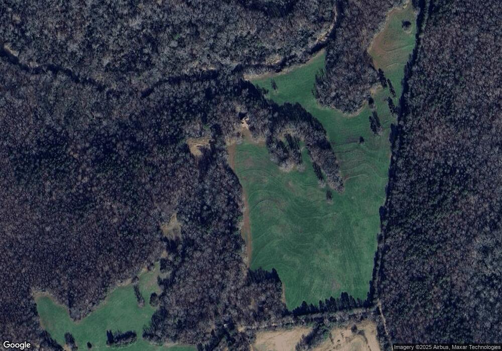
Map
Nearby Homes
- 942 Eagle Heights Dr
- 936 Eagle Heights Dr
- 941 Eagle Heights Dr
- 808 Eagle Heights Dr
- 939 Eagle Heights Dr
- 885 Eagle Heights Dr
- 759 Eagle Heights Dr
- 718 Eagle Heights Dr
- 687 Eagle Heights Dr
- 668 Eagle Heights Dr
- 633 Eagle Heights Dr
- 603 Eagle Heights Dr
- 108 Liberty Freedom Ln
- 110 Liberty Freedom Ln
- 553 Eagle Heights Dr
- 1430 Old Miller Rd
- 1199 Old Miller Rd
- 536 Old Miller Rd
- 1122 Old Miller Rd
- 1133 Chandler Cemetery Rd
- 1068 Old Miller Rd
- 934 Old Miller Rd
- 1051 Chandler Cemetery Rd
- 979 Chandler Cemetery Rd
- 766 Old Miller Rd
- 0 Horseshoe Bend
- 28 Horseshoe Bend
- 28 Horse Shoe Bend
- 48 Horseshoe Bend Rd
- 275 Lyle Rd
- 405 Old Miller Rd
- 772 Silver Dollar Rd
- 257 Old Miller Rd