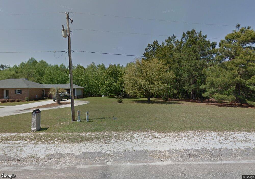
1435 Peggy Ln Manning, SC 29102
Estimated Value: $272,416 - $323,000
3
Beds
2
Baths
2,043
Sq Ft
$149/Sq Ft
Est. Value
About This Home
This home is located at 1435 Peggy Ln, Manning, SC 29102 and is currently estimated at $304,104, approximately $148 per square foot. 1435 Peggy Ln is a home located in Clarendon County with nearby schools including Manning Early Childhood Center, Manning Primary School, and Manning Elementary School.
Ownership History
Date
Name
Owned For
Owner Type
Purchase Details
Closed on
Aug 16, 2024
Sold by
Cummings Christine L and Cook Melinda
Bought by
Cook Melinda and Cummings Christine L
Current Estimated Value
Purchase Details
Closed on
Nov 30, 2023
Sold by
Cummings Christine L
Bought by
Cummings Christine L and Cook Melinda
Purchase Details
Closed on
Dec 16, 2022
Sold by
Cummings William J and Cummings Christine L
Bought by
Cummings William J and Cummings Christine L
Purchase Details
Closed on
Jun 28, 2021
Sold by
Anderson Arthur Bruce
Bought by
Cummings William S and Cummings Christine L
Purchase Details
Closed on
Aug 2, 2005
Sold by
Sullivan Paul M and Sullivan Emily K
Bought by
Anderson Arthur Bruce
Home Financials for this Owner
Home Financials are based on the most recent Mortgage that was taken out on this home.
Original Mortgage
$128,000
Interest Rate
5.48%
Mortgage Type
New Conventional
Create a Home Valuation Report for This Property
The Home Valuation Report is an in-depth analysis detailing your home's value as well as a comparison with similar homes in the area
Home Values in the Area
Average Home Value in this Area
Purchase History
| Date | Buyer | Sale Price | Title Company |
|---|---|---|---|
| Cook Melinda | -- | None Listed On Document | |
| Cummings Christine L | -- | None Listed On Document | |
| Cummings Christine L | -- | None Listed On Document | |
| Cummings William J | -- | None Listed On Document | |
| Cummings William S | $198,000 | None Available | |
| Anderson Arthur Bruce | $160,000 | None Available |
Source: Public Records
Mortgage History
| Date | Status | Borrower | Loan Amount |
|---|---|---|---|
| Previous Owner | Anderson Arthur Bruce | $128,000 | |
| Previous Owner | Anderson Arthur Bruce | $24,000 |
Source: Public Records
Tax History Compared to Growth
Tax History
| Year | Tax Paid | Tax Assessment Tax Assessment Total Assessment is a certain percentage of the fair market value that is determined by local assessors to be the total taxable value of land and additions on the property. | Land | Improvement |
|---|---|---|---|---|
| 2024 | $1,607 | $11,814 | $3,000 | $8,814 |
| 2023 | $1,576 | $7,876 | $2,000 | $5,876 |
| 2022 | $4,513 | $11,814 | $3,000 | $8,814 |
| 2021 | $1,141 | $5,980 | $1,320 | $4,660 |
| 2020 | $1,141 | $5,980 | $1,320 | $4,660 |
| 2019 | $1,056 | $5,980 | $1,320 | $4,660 |
| 2018 | $993 | $5,980 | $0 | $0 |
| 2017 | $993 | $5,980 | $0 | $0 |
| 2016 | $961 | $5,980 | $0 | $0 |
| 2015 | $967 | $5,925 | $873 | $5,052 |
| 2014 | $952 | $5,925 | $873 | $5,052 |
| 2013 | -- | $5,925 | $873 | $5,052 |
Source: Public Records
Map
Nearby Homes
- 1023 Shortleaf Dr
- 1054 Hickory Ridge Cir
- 1513 Loblolly Dr
- 1868 Haseldon Dr
- 605 Gib Dr
- 617 Pickwood Dr
- 1665 Heritage Dr
- 1682 Heritage Dr
- 0000 Sylvan Dr
- 1026 Jamie Ct
- TBD White Oak Dr
- 412 Briarcliff St
- TBD S Carolina 260
- 1158 Doral Dr
- 1085 Birdie Ct
- 1200 Mulligan Dr
- 1052 Mulligan Dr
- 1064 Mulligan Dr
- 1130 Mulligan Dr
- 1162 Mulligan Dr