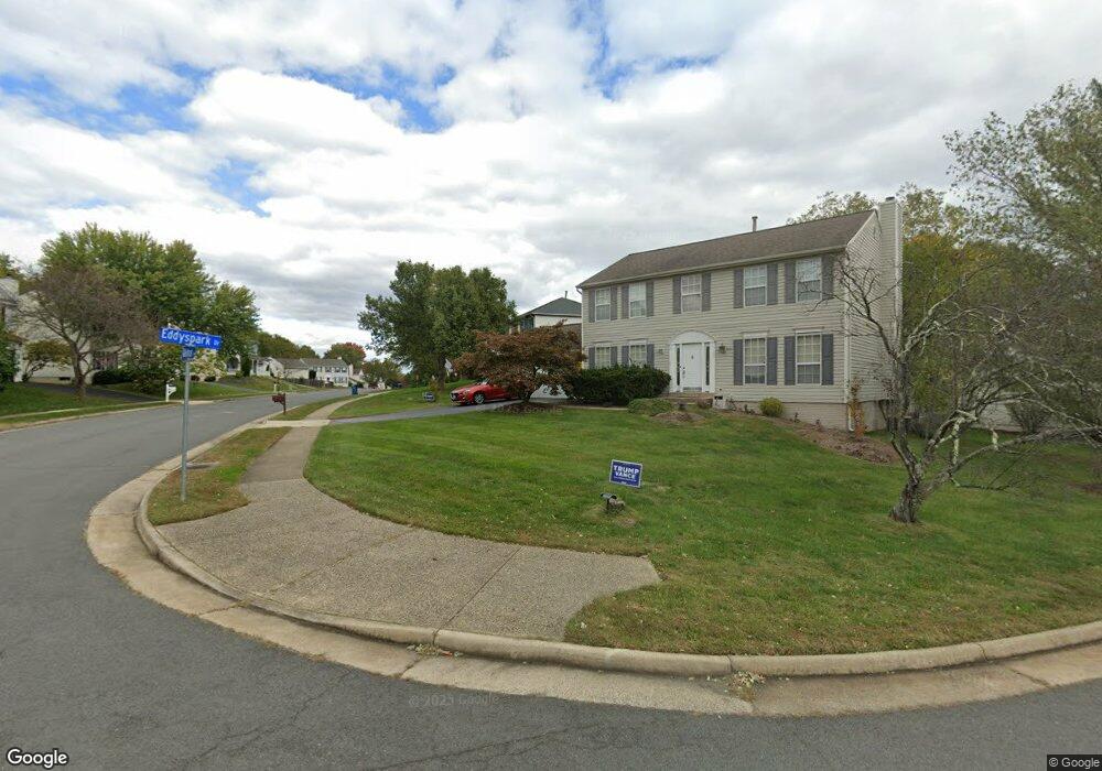
1435 Valebrook Ln Herndon, VA 20170
Estimated Value: $804,195 - $877,000
4
Beds
3
Baths
2,012
Sq Ft
$421/Sq Ft
Est. Value
About This Home
This home is located at 1435 Valebrook Ln, Herndon, VA 20170 and is currently estimated at $846,549, approximately $420 per square foot. 1435 Valebrook Ln is a home located in Fairfax County with nearby schools including Dranesville Elementary, Herndon Middle School, and Herndon High School.
Ownership History
Date
Name
Owned For
Owner Type
Purchase Details
Closed on
May 23, 2011
Sold by
Plummer Heir Emily J and Plummer Heir Theresa M
Bought by
Orourke Christian B
Current Estimated Value
Home Financials for this Owner
Home Financials are based on the most recent Mortgage that was taken out on this home.
Original Mortgage
$480,105
Outstanding Balance
$333,651
Interest Rate
4.88%
Mortgage Type
VA
Estimated Equity
$512,898
Create a Home Valuation Report for This Property
The Home Valuation Report is an in-depth analysis detailing your home's value as well as a comparison with similar homes in the area
Home Values in the Area
Average Home Value in this Area
Purchase History
| Date | Buyer | Sale Price | Title Company |
|---|---|---|---|
| Orourke Christian B | $470,000 | -- |
Source: Public Records
Mortgage History
| Date | Status | Borrower | Loan Amount |
|---|---|---|---|
| Open | Orourke Christian B | $480,105 |
Source: Public Records
Tax History
| Year | Tax Paid | Tax Assessment Tax Assessment Total Assessment is a certain percentage of the fair market value that is determined by local assessors to be the total taxable value of land and additions on the property. | Land | Improvement |
|---|---|---|---|---|
| 2025 | $8,591 | $781,440 | $288,000 | $493,440 |
| 2024 | $8,591 | $741,590 | $268,000 | $473,590 |
| 2023 | $8,172 | $724,110 | $268,000 | $456,110 |
| 2022 | $7,678 | $671,450 | $253,000 | $418,450 |
| 2021 | $7,063 | $601,900 | $218,000 | $383,900 |
| 2020 | $6,612 | $558,680 | $208,000 | $350,680 |
| 2019 | $6,830 | $577,140 | $208,000 | $369,140 |
| 2018 | $6,637 | $577,140 | $208,000 | $369,140 |
| 2017 | $6,420 | $552,940 | $198,000 | $354,940 |
| 2016 | $5,999 | $517,800 | $198,000 | $319,800 |
Source: Public Records
Map
Nearby Homes
- 1502 Kings Valley Ct
- 12017 Sugarland Valley Dr
- 12011 Meadowville Ct
- 614 3rd St
- 1326 Stourhead Ct
- 12318 Valley High Rd
- 610 Worchester St
- 11913 Champion Lake Ct
- 1407 Skyhaven Ct
- 1669 Poplar Grove Dr
- 11902 Crayton Ct
- 1191 Monroe St
- 12021 Walnut Branch Rd
- 11665 Gilman Ln
- 1309 Rock Chapel Rd
- 1543 Youngs Point Place
- 11719 Summerchase Cir
- 1508 Summerchase Ct
- 1516 N Point Dr Unit 1
- 1515 N Point Dr Unit 2-0201
- 1433 Valebrook Ln
- 1437 Valebrook Ln
- 12160 Eddyspark Dr
- 1399 Kingsvale Cir
- 1415 Kingsvale Cir
- 1397 Kingsvale Cir
- 1431 Valebrook Ln
- 1434 Valebrook Ln
- 1436 Valebrook Ln
- 1432 Valebrook Ln
- 12166 Eddyspark Dr
- 1421 Kingsvale Cir
- 12161 Eddyspark Dr
- 12159 Eddyspark Dr
- 12163 Eddyspark Dr
- 1465 Kingstream Dr
- 1467 Kingstream Dr
- 12157 Eddyspark Dr
- 1469 Kingstream Dr
- 1463 Kingstream Dr
Your Personal Tour Guide
Ask me questions while you tour the home.