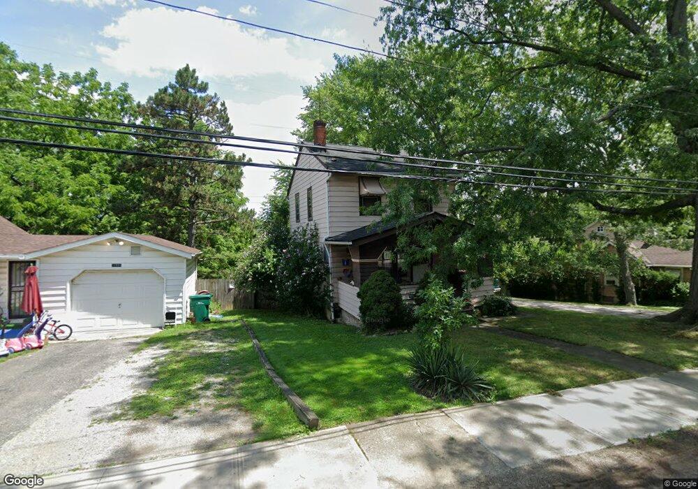
14351 Maple Ave Maple Heights, OH 44137
Estimated Value: $98,000 - $138,000
3
Beds
1
Bath
886
Sq Ft
$135/Sq Ft
Est. Value
About This Home
This home is located at 14351 Maple Ave, Maple Heights, OH 44137 and is currently estimated at $119,515, approximately $134 per square foot. 14351 Maple Ave is a home located in Cuyahoga County with nearby schools including Abraham Lincoln Elementary School, Rockside/ J.F. Kennedy School, and Barack Obama School.
Ownership History
Date
Name
Owned For
Owner Type
Purchase Details
Closed on
May 31, 2005
Sold by
Tibbs Kathleen M
Bought by
Hook Jane B
Current Estimated Value
Home Financials for this Owner
Home Financials are based on the most recent Mortgage that was taken out on this home.
Original Mortgage
$62,700
Outstanding Balance
$33,384
Interest Rate
6.07%
Mortgage Type
Fannie Mae Freddie Mac
Estimated Equity
$86,131
Purchase Details
Closed on
Mar 10, 2004
Sold by
Estate Of Delbert E Tibbs
Bought by
Tibbs Kathleen M
Purchase Details
Closed on
Mar 31, 1986
Bought by
Tibbs Delbert
Purchase Details
Closed on
Jan 1, 1975
Bought by
Broadview Sav & Loan Co
Create a Home Valuation Report for This Property
The Home Valuation Report is an in-depth analysis detailing your home's value as well as a comparison with similar homes in the area
Home Values in the Area
Average Home Value in this Area
Purchase History
| Date | Buyer | Sale Price | Title Company |
|---|---|---|---|
| Hook Jane B | $66,000 | Revere Title | |
| Tibbs Kathleen M | -- | -- | |
| Tibbs Delbert | -- | -- | |
| Broadview Sav & Loan Co | -- | -- |
Source: Public Records
Mortgage History
| Date | Status | Borrower | Loan Amount |
|---|---|---|---|
| Open | Hook Jane B | $62,700 |
Source: Public Records
Tax History
| Year | Tax Paid | Tax Assessment Tax Assessment Total Assessment is a certain percentage of the fair market value that is determined by local assessors to be the total taxable value of land and additions on the property. | Land | Improvement |
|---|---|---|---|---|
| 2024 | $3,199 | $35,420 | $6,720 | $28,700 |
| 2023 | $2,304 | $21,420 | $3,920 | $17,500 |
| 2022 | $2,296 | $21,420 | $3,920 | $17,500 |
| 2021 | $2,446 | $21,420 | $3,920 | $17,500 |
| 2020 | $2,094 | $16,240 | $2,980 | $13,270 |
| 2019 | $2,083 | $46,400 | $8,500 | $37,900 |
| 2018 | $2,071 | $16,240 | $2,980 | $13,270 |
| 2017 | $2,147 | $16,590 | $3,780 | $12,810 |
| 2016 | $2,077 | $16,590 | $3,780 | $12,810 |
| 2015 | $1,971 | $16,590 | $3,780 | $12,810 |
| 2014 | $1,971 | $17,120 | $3,890 | $13,230 |
Source: Public Records
Map
Nearby Homes
- 5220 Forest Ave
- 14305 Granger Rd
- 14510 Granger Rd
- 14512 Granger Rd
- 5179 Milo Ave
- 15095 Granger Rd
- 13704 Linn Ave
- 13801 Bangor Ave
- 5270 E 135th St
- 5408 Roland Dr
- 13417 Granger Rd
- 4955 E 141st St
- 13719 Wolf Ave
- 16101 Raymond St
- 16174 Friend Ave
- 5380 E 131st St
- 5370 Lee Rd Unit 302
- 16241 Glenburn Ave
- 13009 Willard Ave
- 13008 Willard Ave
Your Personal Tour Guide
Ask me questions while you tour the home.