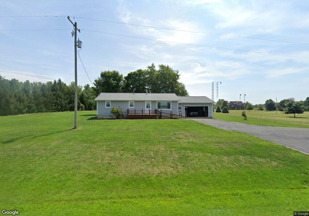
14351 N Adams Rd Addison, MI 49220
Estimated Value: $198,000 - $340,000
2
Beds
2
Baths
1,200
Sq Ft
$219/Sq Ft
Est. Value
About This Home
This home is located at 14351 N Adams Rd, Addison, MI 49220 and is currently estimated at $262,249, approximately $218 per square foot. 14351 N Adams Rd is a home located in Hillsdale County with nearby schools including Addison Elementary School, Addison Middle School, and Addison High School.
Ownership History
Date
Name
Owned For
Owner Type
Purchase Details
Closed on
Oct 13, 2004
Sold by
Halsey John and Halsey Joan
Bought by
Ely William D and Ely Jennifer K
Current Estimated Value
Home Financials for this Owner
Home Financials are based on the most recent Mortgage that was taken out on this home.
Original Mortgage
$70,000
Interest Rate
5.93%
Mortgage Type
Purchase Money Mortgage
Purchase Details
Closed on
Jul 1, 1986
Bought by
Halsey
Create a Home Valuation Report for This Property
The Home Valuation Report is an in-depth analysis detailing your home's value as well as a comparison with similar homes in the area
Purchase History
We collect this data history from publicly available records. To have your information removed, we recommend requesting removal directly through your county’s website.
| Date | Buyer | Sale Price | Title Company |
|---|---|---|---|
| Ely William D | $130,000 | -- | |
| Halsey | $70,000 | -- |
Source: Public Records
Mortgage History
We collect this data history from publicly available records. To have your information removed, we recommend requesting removal directly through your county’s website.
| Date | Status | Borrower | Loan Amount |
|---|---|---|---|
| Closed | Ely William D | $70,000 |
Source: Public Records
Tax History
| Year | Tax Paid | Tax Assessment Tax Assessment Total Assessment is a certain percentage of the fair market value that is determined by local assessors to be the total taxable value of land and additions on the property. | Land | Improvement |
|---|---|---|---|---|
| 2025 | $552 | $87,400 | $0 | $0 |
| 2024 | $5 | $85,300 | $0 | $0 |
| 2023 | $513 | $79,500 | $0 | $0 |
| 2022 | $1,134 | $83,400 | $0 | $0 |
| 2021 | $1,101 | $67,900 | $0 | $0 |
| 2020 | $1,097 | $53,300 | $0 | $0 |
| 2019 | $1,097 | $52,100 | $0 | $0 |
| 2018 | $1,042 | $49,300 | $0 | $0 |
| 2017 | $1,025 | $46,500 | $0 | $0 |
| 2016 | $1,023 | $42,070 | $0 | $0 |
| 2015 | $443 | $42,070 | $0 | $0 |
| 2013 | $429 | $40,830 | $0 | $0 |
| 2012 | $419 | $38,230 | $0 | $0 |
Source: Public Records
Map
Nearby Homes
- 200 W Main St
- 106 N Talbot St
- 16001 Addison Rd
- 427 N Steer St
- 18990 Rome Rd
- 2951 N Meridian Rd
- 12251 Hoxie Rd
- 4291 Waldron Rd
- 0 Manitou Beach Rd
- 0 Manitou Beach Rd Unit Lot B
- 11480 N Adams Rd
- 14140 Church Rd
- 0
- 2251 N Waldron Rd
- 9900 Devils Lake Hwy
- 151 N Lakeview Blvd
- 348 Lenawee St
- 9254 Cherry Point Rd
- 18000 blk Forrister Rd
- 8676 Cherry Point Dr
- 14311 N Adams Rd
- 14311 N Adams Rd
- 14451 N Adams Rd
- 14460 N Adams Rd
- 14620 N Adams Rd
- 14020 N Adams Rd
- 4691 Somerset Rd
- 5040 Somerset Rd
- 13960 N Adams Rd
- 14631 N Adams Rd
- 13995 N Adams Rd
- 13791 N Adams Rd
- 13775 N Adams Rd
- 4595 Somerset Rd
- 4595 Somerset Rd
- 14720 N Adams Rd
- 4736 Somerset Rd
- 0 N Adams Rd
- 0 N Adams Rd Unit 55021037403
- 0 N Adams Rd Unit 55021036889
Your Personal Tour Guide
Ask me questions while you tour the home.