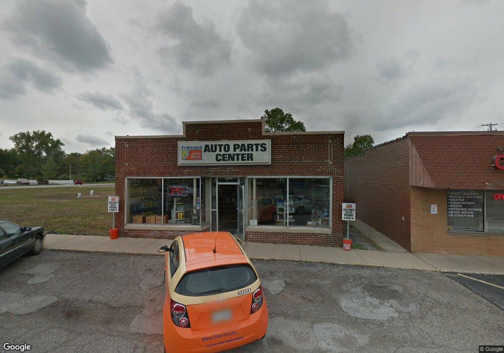
14354 Pearl Rd Strongsville, OH 44136
--
Bed
--
Bath
3,405
Sq Ft
10,019
Sq Ft Lot
About This Home
This home is located at 14354 Pearl Rd, Strongsville, OH 44136. 14354 Pearl Rd is a home located in Cuyahoga County with nearby schools including Strongsville High School, Strongsville Academy, and Sts Joseph & John Interparochial School.
Ownership History
Date
Name
Owned For
Owner Type
Purchase Details
Closed on
Mar 15, 2021
Sold by
Carole Ann Mancini Family Trust and Mancini Thomas D
Bought by
Mancini Fanily Properties Of Strongsville Llc
Purchase Details
Closed on
Aug 19, 2019
Sold by
Mancini Carole Ann
Bought by
Mancini Carole Ann and The Carole Ann Mancini Family
Purchase Details
Closed on
May 6, 1999
Sold by
Mancini Ronald J and Mancini C
Bought by
Mancini Ronald J
Purchase Details
Closed on
Jan 1, 1984
Bought by
Mancini Ronald J and C A
Create a Home Valuation Report for This Property
The Home Valuation Report is an in-depth analysis detailing your home's value as well as a comparison with similar homes in the area
Home Values in the Area
Average Home Value in this Area
Purchase History
| Date | Buyer | Sale Price | Title Company |
|---|---|---|---|
| Mancini Fanily Properties Of Strongsville Llc | -- | None Listed On Document | |
| Mancini Carole Ann | -- | None Available | |
| Mancini Carole Ann | -- | None Available | |
| Mancini Ronald J | -- | Progressive Land Title Agenc | |
| Mancini Ronald J | -- | -- |
Source: Public Records
Tax History Compared to Growth
Tax History
| Year | Tax Paid | Tax Assessment Tax Assessment Total Assessment is a certain percentage of the fair market value that is determined by local assessors to be the total taxable value of land and additions on the property. | Land | Improvement |
|---|---|---|---|---|
| 2024 | $6,717 | $93,590 | $35,070 | $58,520 |
| 2023 | $5,542 | $67,830 | $35,070 | $32,760 |
| 2022 | $5,528 | $67,830 | $35,070 | $32,760 |
| 2021 | $5,560 | $67,830 | $35,070 | $32,760 |
| 2020 | $5,728 | $67,830 | $35,070 | $32,760 |
| 2019 | $5,564 | $193,800 | $100,200 | $93,600 |
| 2018 | $4,820 | $67,830 | $35,070 | $32,760 |
| 2017 | $4,661 | $58,520 | $28,350 | $30,170 |
| 2016 | $4,635 | $58,520 | $28,350 | $30,170 |
| 2015 | $5,154 | $58,520 | $28,350 | $30,170 |
| 2014 | $5,154 | $66,510 | $32,240 | $34,270 |
Source: Public Records
Map
Nearby Homes
- 19160 Wheelers Ln
- 14112 Settlers Way
- 19620 Porters Ln Unit 15F
- 18630 Shurmer Rd
- 19513 Lunn Rd
- 13156 Olympus Way
- 13099 Olympus Way
- 20078 Trapper Trail
- 13066 Olympus Way
- 18248 Meadow Ln
- 12539 Olympus Way
- 17289 Akita Ct Unit 4508
- 18162 Fawn Cir
- 12694 Ionia Ct
- 17069 Partridge Dr
- 13236 Tomson Dr
- 12385 Corinth Ct
- 17809 Cliffside Dr Unit 4926
- 13513 Suncrest Ct
- 12647 Edgepark Cir
- 14312 Pearl Rd
- 19102 Pierce Dr
- 14363 Pearl Rd
- 19169 Wheelers Ln Unit 131
- 19136 Pierce Dr
- 19153 Wheelers Ln Unit AQ132
- 19185 Wheelers Ln
- 19185 Wheelers Ln Unit 130
- 19201 Wheelers Ln
- 19201 Wheelers Ln Unit 129
- 19137 Wheelers Ln
- 19190 Pierce Dr
- 19103 Pierce Dr
- 19217 Wheelers Ln Unit AO128
- 19121 Wheelers Ln
- 14526 Lymans Ln Unit 86
- 19137 Pierce Dr
- 19105 Wheelers Ln Unit 135
- 19233 Wheelers Ln Unit AO127
- 19198 Pierce Dr