Estimated Value: $24,495 - $239,000
--
Bed
--
Bath
896
Sq Ft
$161/Sq Ft
Est. Value
About This Home
This home is located at 14355 Highway 219, Ozark, AR 72949 and is currently estimated at $143,832, approximately $160 per square foot. 14355 Highway 219 is a home located in Franklin County with nearby schools including Ozark Kindergarten School, Elgin B. Milton Elementary School, and Ozark Upper Elementary School.
Ownership History
Date
Name
Owned For
Owner Type
Purchase Details
Closed on
Feb 25, 2022
Sold by
Michael Butcher
Bought by
Capek Charles L and Capek Yvonne M
Current Estimated Value
Purchase Details
Closed on
Feb 16, 2022
Sold by
Michael Butcher
Bought by
Butcher Michael
Purchase Details
Closed on
Dec 7, 2020
Sold by
Waits Terry
Bought by
Butcher Michael and Jarvis Judy
Purchase Details
Closed on
Jun 1, 1993
Bought by
Simpson and Cook
Purchase Details
Closed on
Apr 1, 1992
Bought by
Simpson and Cook
Purchase Details
Closed on
Jul 15, 1988
Bought by
Vaughn and Simpson
Purchase Details
Closed on
Apr 1, 1987
Bought by
Simpson and Vaughn
Create a Home Valuation Report for This Property
The Home Valuation Report is an in-depth analysis detailing your home's value as well as a comparison with similar homes in the area
Home Values in the Area
Average Home Value in this Area
Purchase History
| Date | Buyer | Sale Price | Title Company |
|---|---|---|---|
| Capek Charles L | $20,000 | Adams Abstract | |
| Butcher Michael | -- | None Listed On Document | |
| Butcher Michael | $10,000 | Adams Abstract & Title | |
| Simpson | $1,000 | -- | |
| Simpson | $6,000 | -- | |
| Vaughn | $4,000 | -- | |
| Simpson | $1,000 | -- |
Source: Public Records
Tax History Compared to Growth
Tax History
| Year | Tax Paid | Tax Assessment Tax Assessment Total Assessment is a certain percentage of the fair market value that is determined by local assessors to be the total taxable value of land and additions on the property. | Land | Improvement |
|---|---|---|---|---|
| 2025 | $152 | $3,170 | $2,600 | $570 |
| 2024 | $152 | $3,170 | $2,600 | $570 |
| 2023 | $145 | $3,170 | $2,600 | $570 |
| 2022 | $105 | $2,200 | $2,200 | $0 |
| 2021 | $105 | $2,200 | $2,200 | $0 |
| 2020 | $125 | $2,600 | $2,600 | $0 |
| 2019 | $125 | $2,600 | $2,600 | $0 |
| 2018 | $0 | $4,200 | $2,600 | $1,600 |
| 2017 | $0 | $4,200 | $2,600 | $1,600 |
| 2016 | $0 | $660 | $30 | $630 |
| 2015 | -- | $510 | $30 | $480 |
| 2013 | -- | $3,660 | $2,400 | $1,260 |
Source: Public Records
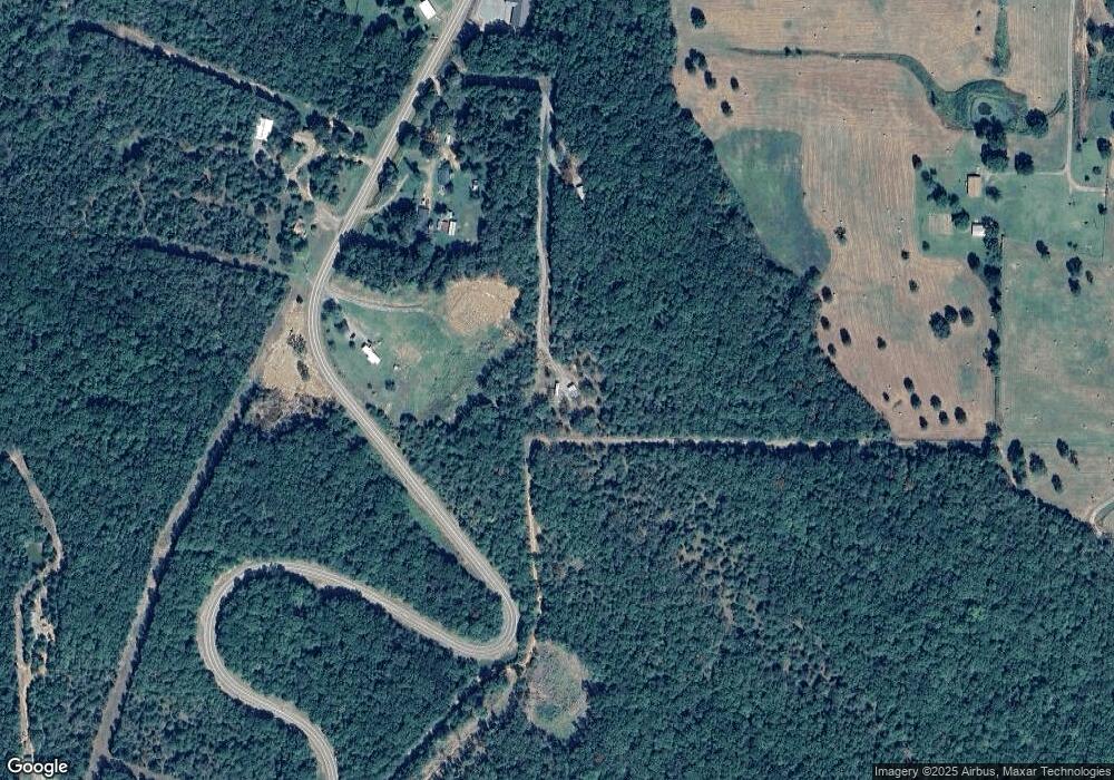
Map
Nearby Homes
- 14557 Cat Holler Rd
- 11108 Lee Point Rd Unit 11116 Lee Pt include
- 4150 Low Gap Rd
- TBD Winds Rd
- 000 County Road 4001
- 3636 Highway 352
- 13542 Watalula Rd
- 1296 County Road 4015
- 15061 N Highway 23
- 16439 N Highway 23
- 10115 Philpot Rd
- 3910 Stagecoach Rd
- 755 Cripple Branch Rd
- 000 Cr 3190
- 5641 Stagecoach Rd
- 5210 Stagecoach Rd
- 4 acres Rollin Hills Ln
- 8517 Wildwood Trail
- 2166 County Road 3091
- 1214 Cataberry Run Rd
- 14360 Highway 219
- 14320 Highway 219
- 14320 Highway 219
- 14331 Highway 219
- 14409 Highway 219
- 14300 Tower Rd
- 14300 Tower Rd
- 14504 Highway 219
- 14417 Highway 219
- 14461 Highway 219
- 13831 Highway 219
- 14534 Highway 219
- 14521 Tower Rd
- 14556 Highway 219
- 14510 Tower Rd
- 13753 Highway 219
- 13753 Highway 219
- 14606 Arkansas 219
- 14606 Highway 219
- 14600 Tower Rd