1436 Bangor Rd Ellsworth, ME 04605
Estimated Value: $326,965 - $500,000
4
Beds
2
Baths
1,917
Sq Ft
$209/Sq Ft
Est. Value
About This Home
This home is located at 1436 Bangor Rd, Ellsworth, ME 04605 and is currently estimated at $400,322, approximately $208 per square foot. 1436 Bangor Rd is a home located in Hancock County with nearby schools including Sumner Memorial High School.
Ownership History
Date
Name
Owned For
Owner Type
Purchase Details
Closed on
Dec 4, 2018
Sold by
Macgown Anne R Est
Bought by
Macgown-Emery Melissa
Current Estimated Value
Home Financials for this Owner
Home Financials are based on the most recent Mortgage that was taken out on this home.
Original Mortgage
$30,000
Outstanding Balance
$26,431
Interest Rate
4.8%
Mortgage Type
New Conventional
Estimated Equity
$373,891
Create a Home Valuation Report for This Property
The Home Valuation Report is an in-depth analysis detailing your home's value as well as a comparison with similar homes in the area
Home Values in the Area
Average Home Value in this Area
Purchase History
| Date | Buyer | Sale Price | Title Company |
|---|---|---|---|
| Macgown-Emery Melissa | -- | -- |
Source: Public Records
Mortgage History
| Date | Status | Borrower | Loan Amount |
|---|---|---|---|
| Open | Macgown-Emery Melissa | $30,000 |
Source: Public Records
Tax History Compared to Growth
Tax History
| Year | Tax Paid | Tax Assessment Tax Assessment Total Assessment is a certain percentage of the fair market value that is determined by local assessors to be the total taxable value of land and additions on the property. | Land | Improvement |
|---|---|---|---|---|
| 2024 | $4,240 | $243,000 | $55,440 | $187,560 |
| 2023 | $3,828 | $221,260 | $52,555 | $168,705 |
| 2022 | $3,474 | $221,260 | $52,555 | $168,705 |
| 2021 | $3,265 | $181,100 | $45,900 | $135,200 |
| 2020 | $3,371 | $179,600 | $45,600 | $134,000 |
| 2019 | $3,378 | $179,600 | $45,600 | $134,000 |
| 2018 | $3,276 | $179,600 | $45,600 | $134,000 |
| 2017 | $3,202 | $178,200 | $48,400 | $129,800 |
| 2016 | $3,140 | $177,600 | $47,800 | $129,800 |
| 2015 | $3,144 | $177,600 | $47,800 | $129,800 |
| 2014 | $2,922 | $177,600 | $47,800 | $129,800 |
| 2012 | $2,742 | $177,500 | $44,600 | $132,900 |
Source: Public Records
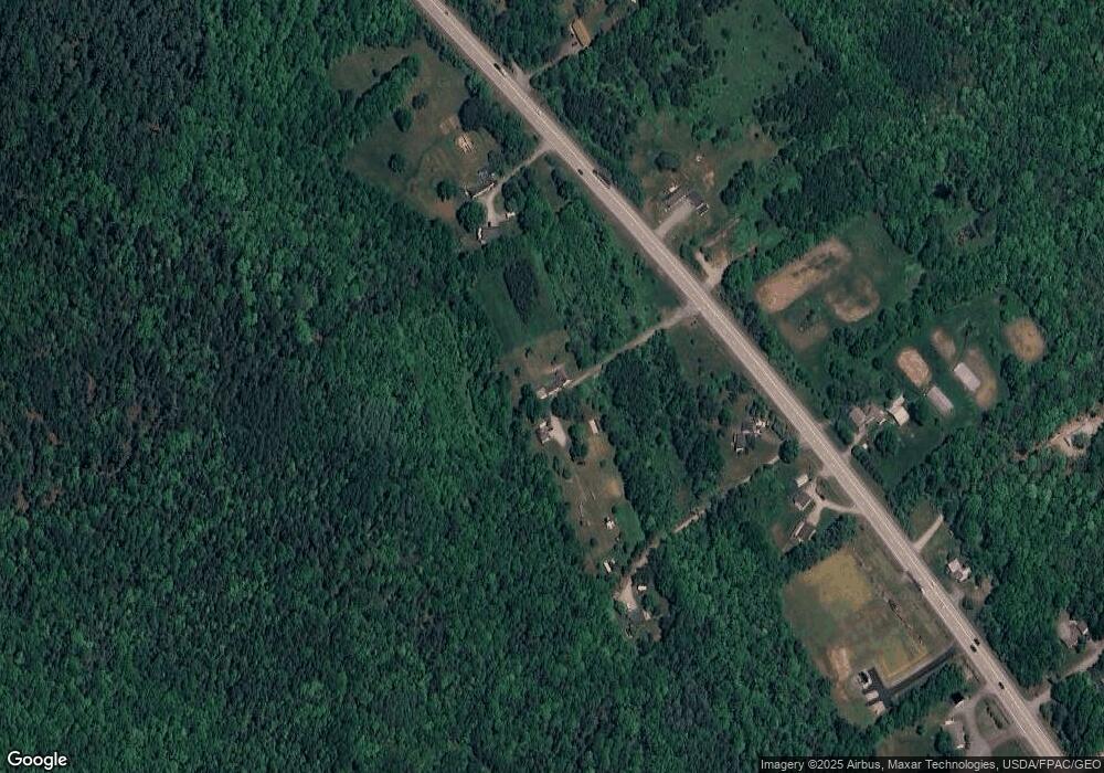
Map
Nearby Homes
- 18 Tamarac Rd
- 24 Tamarac Rd
- 1400 Bangor Rd
- 0 Branch Pond Rd
- Lot 5 Foggy Ridge Way
- Lot 9 Foggy Ridge Way
- 1802 Bangor Rd
- 20 Upper Boggy Brook Rd
- 248 Branchview Dr
- 194 Branchview Dr
- 428 Winkumpaugh Rd
- 235 Kotagiri Way
- 627 Green Lake Rd
- 928 Red Bridge Rd
- 52 Shore Path
- 394 Green Lake Rd
- 498 Bangor Rd
- 00 Green Lake Rd
- 0 Bangor Rd
- 383 Lily Rd
- 1422 Bangor Rd
- 1458 Bangor Rd
- 1420 Bangor Rd
- 1418 Bangor Rd
- 1417 Bangor Rd
- 5 Labelle Rd
- 9 Labelle Rd
- 1399 Bangor Rd
- 1384 Bangor Rd
- 8 Baron Ln
- 18 Baron Ln
- 78 Dumont Way
- 9 Baron Ln
- 35 Baron Ln
- 1413 Bangor Rd
- 21 Baron Ln
- 0 Forest Ridge Subdivision Lot Unit 764803
- 0 Forest Ridge Subdivision Lot Unit 764791
- 0 Forest Ridge Subdivision Lot Unit 764804
- 0 Forest Ridge Subdivision Lot Unit 764787