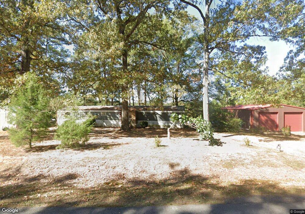
1437 Highway 15 West Monroe, LA 71291
Estimated Value: $142,438 - $332,000
3
Beds
2
Baths
1,800
Sq Ft
$135/Sq Ft
Est. Value
About This Home
This home is located at 1437 Highway 15, West Monroe, LA 71291 and is currently estimated at $242,860, approximately $134 per square foot. 1437 Highway 15 is a home located in Ouachita Parish with nearby schools including Drew Elementary School, West Ridge Middle School, and West Monroe High School.
Ownership History
Date
Name
Owned For
Owner Type
Purchase Details
Closed on
May 15, 2013
Sold by
Boutwell Tammy Ratcliff
Bought by
Boutwell Kenneth Darryl and Boutwell Melanie Lyn Chambley
Current Estimated Value
Home Financials for this Owner
Home Financials are based on the most recent Mortgage that was taken out on this home.
Original Mortgage
$181,600
Outstanding Balance
$129,145
Interest Rate
3.56%
Mortgage Type
Unknown
Estimated Equity
$113,716
Purchase Details
Closed on
Aug 23, 2007
Sold by
Hill David Earl and Hill Rose Ann Tubbs
Bought by
Bouthwell Kenneth Darryl and Boutwell Tammy Ratcliff
Home Financials for this Owner
Home Financials are based on the most recent Mortgage that was taken out on this home.
Original Mortgage
$51,610
Interest Rate
6.72%
Mortgage Type
Purchase Money Mortgage
Create a Home Valuation Report for This Property
The Home Valuation Report is an in-depth analysis detailing your home's value as well as a comparison with similar homes in the area
Home Values in the Area
Average Home Value in this Area
Purchase History
| Date | Buyer | Sale Price | Title Company |
|---|---|---|---|
| Boutwell Kenneth Darryl | $12,500 | None Available | |
| Bouthwell Kenneth Darryl | $10,625 | None Available |
Source: Public Records
Mortgage History
| Date | Status | Borrower | Loan Amount |
|---|---|---|---|
| Open | Boutwell Kenneth Darryl | $181,600 | |
| Previous Owner | Bouthwell Kenneth Darryl | $51,610 |
Source: Public Records
Tax History Compared to Growth
Tax History
| Year | Tax Paid | Tax Assessment Tax Assessment Total Assessment is a certain percentage of the fair market value that is determined by local assessors to be the total taxable value of land and additions on the property. | Land | Improvement |
|---|---|---|---|---|
| 2024 | $257 | $10,200 | $500 | $9,700 |
| 2023 | $257 | $10,200 | $500 | $9,700 |
| 2022 | $905 | $10,200 | $500 | $9,700 |
| 2021 | $916 | $10,200 | $500 | $9,700 |
| 2020 | $916 | $10,200 | $500 | $9,700 |
| 2019 | $914 | $10,200 | $500 | $9,700 |
| 2018 | $242 | $10,200 | $500 | $9,700 |
| 2017 | $914 | $10,200 | $500 | $9,700 |
| 2016 | $913 | $10,200 | $500 | $9,700 |
| 2015 | $241 | $10,200 | $500 | $9,700 |
| 2014 | $241 | $10,200 | $500 | $9,700 |
| 2013 | $240 | $10,200 | $500 | $9,700 |
Source: Public Records
Map
Nearby Homes
- 205 Chapel Hill Place
- 000 Strozier Rd
- 159 Chapel Ln
- 158 Rex Robertson Rd
- 000 J T Griggs Rd Unit 454 J T Griggs Road
- 00 J T Griggs Rd Unit 454 J T Griggs Road
- 454 J T Griggs Rd
- 0 J T Griggs Rd Unit 454 J T Griggs Road
- 100 Aspen Cir
- 171 Chimney Hill Rd
- 830 Ole Highway 15
- 110 Fox Run Unit 110 Fox run
- 107 Sioux Dr
- 150 Ingram Rd
- 127 Henry Rd
- 149 Comanche Trail
- 108 Comanche Trail
- 112 Hillside Cir
- 106 Brooks Ln
- 0 Louisiana 546 Unit 148 McCormick Road