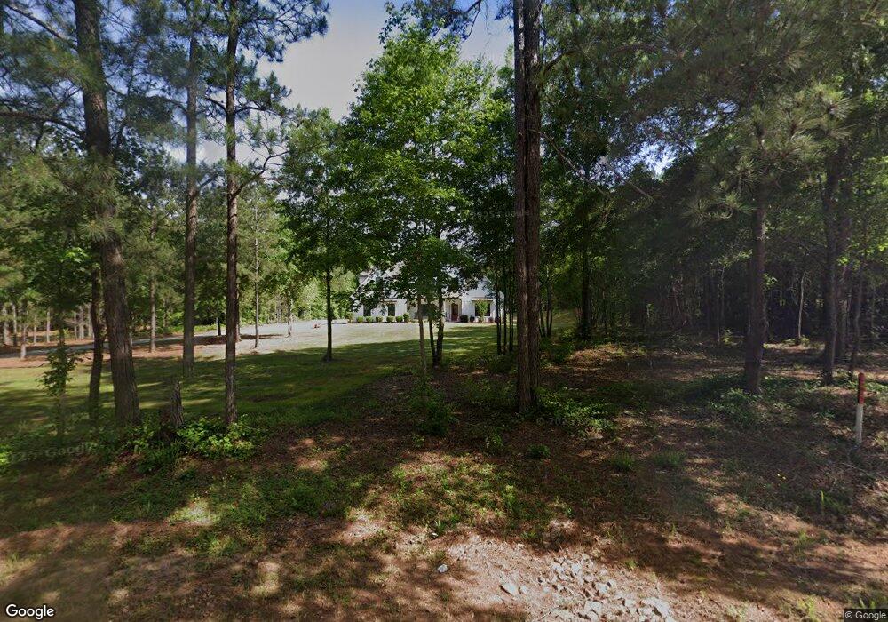
1437 Rock House Rd Unit 1 Senoia, GA 30276
Estimated Value: $626,000 - $745,000
4
Beds
4
Baths
3,702
Sq Ft
$189/Sq Ft
Est. Value
About This Home
This home is located at 1437 Rock House Rd Unit 1, Senoia, GA 30276 and is currently estimated at $701,001, approximately $189 per square foot. 1437 Rock House Rd Unit 1 is a home located in Coweta County with nearby schools including Poplar Road Elementary School, East Coweta Middle School, and East Coweta High School.
Ownership History
Date
Name
Owned For
Owner Type
Purchase Details
Closed on
Mar 25, 2022
Sold by
Jeff Lindsey Communities Inc
Bought by
Floyd Devynne and Floyd Wesley
Current Estimated Value
Purchase Details
Closed on
Aug 31, 2021
Sold by
Reid Kimberly
Bought by
Reid Kimberly and Reid Rohan C
Purchase Details
Closed on
Aug 31, 2020
Sold by
B & B Developers Llc
Bought by
Jeff Lindsey Communities Inc
Purchase Details
Closed on
Dec 31, 1980
Bought by
Holloway John C
Create a Home Valuation Report for This Property
The Home Valuation Report is an in-depth analysis detailing your home's value as well as a comparison with similar homes in the area
Home Values in the Area
Average Home Value in this Area
Purchase History
| Date | Buyer | Sale Price | Title Company |
|---|---|---|---|
| Floyd Devynne | $572,825 | -- | |
| Reid Kimberly | -- | -- | |
| Reid Kimberly | $541,790 | -- | |
| Jeff Lindsey Communities Inc | -- | -- | |
| B & B Developers Llc | $475,524 | -- | |
| Holloway John C | $37,100 | -- |
Source: Public Records
Tax History Compared to Growth
Tax History
| Year | Tax Paid | Tax Assessment Tax Assessment Total Assessment is a certain percentage of the fair market value that is determined by local assessors to be the total taxable value of land and additions on the property. | Land | Improvement |
|---|---|---|---|---|
| 2024 | $6,288 | $275,462 | $41,400 | $234,062 |
| 2023 | $6,288 | $234,952 | $41,400 | $193,552 |
| 2022 | $1,020 | $41,400 | $41,400 | $0 |
| 2021 | $714 | $27,127 | $27,127 | $0 |
| 2020 | $1,796 | $67,766 | $67,766 | $0 |
| 2019 | $1,821 | $62,210 | $62,210 | $0 |
| 2018 | $1,824 | $62,210 | $62,210 | $0 |
| 2017 | $1,823 | $62,210 | $62,209 | $1 |
| 2016 | $1,802 | $62,210 | $62,210 | $0 |
| 2015 | $1,771 | $62,210 | $62,210 | $0 |
| 2014 | $1,757 | $62,210 | $62,210 | $0 |
Source: Public Records
Map
Nearby Homes
- 59 Common Oak
- 360 Walden Pond Way
- 409 Walden Pond Way
- 215 Walden Pond Trail
- 258 Bradshaw Farms Dr
- 290 Staffin Dr
- 280 Staffin Dr
- 73 Bourbon St Unit 5
- 38 Chapman Farm Rd
- 291 Grove Park Unit 90
- 306 Grove Park
- 0 Hwy 85 Unit 10534331
- 65 Crest Haven Ct
- 752 Lawshe Rd
- 1505 Elders Mill Rd
- 184 Grove Park Unit 11
- 166 Belvoir Place
- 2000 Elders Mill Rd
- 800 Rock House Rd
- 68 Grove Park
- 1425 Rock House Rd Unit 2
- 1445 Rockhouse Rd
- 1417 Rock House Rd
- 1417 Rock House Rd Unit 3
- 1475 Rockhouse Rd
- 1449 Rockhouse Rd
- 1409 Rock House Rd Unit LOT 4
- 46 Heywood Cir Unit 158
- 46 Heywood Cir
- 65 Rock Mill Trail
- 38 Heywood Cir
- 50 Heywood Cir
- 20 Heywood Cir
- 55 Rock Mill Trail
- 45 Rock Mill Trail Unit A-30
- 45 Rock Mill Trail
- 45 Rock Mill Trail
- 9 Walden Pond Way Unit 1
- 9 Walden Pond Way
- 31 Walden Pond Way