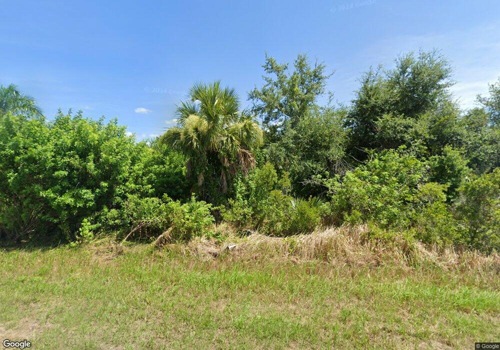
14375 Morristown Ave Port Charlotte, FL 33981
Gulf Cove NeighborhoodEstimated Value: $20,195 - $255,000
--
Bed
--
Bath
--
Sq Ft
10,019
Sq Ft Lot
About This Home
This home is located at 14375 Morristown Ave, Port Charlotte, FL 33981 and is currently estimated at $141,549. 14375 Morristown Ave is a home located in Charlotte County with nearby schools including Myakka River Elementary School, L.A. Ainger Middle School, and Lemon Bay High School.
Ownership History
Date
Name
Owned For
Owner Type
Purchase Details
Closed on
Sep 29, 2014
Sold by
Rock It Homes Llc
Bought by
American Estate & Trust and Patricia Pasquarella Ira
Current Estimated Value
Purchase Details
Closed on
Jul 14, 2014
Sold by
Dmx Enterprises Llc
Bought by
Rock It Homes Llc
Purchase Details
Closed on
Jun 27, 2014
Sold by
Massa Gary J and Vitale Cheryl M
Bought by
Dmx Enterprises Llc
Purchase Details
Closed on
Mar 18, 2004
Sold by
Keister Geraldine Dudley
Bought by
Massa Gary J and Vitale Cheryl M
Create a Home Valuation Report for This Property
The Home Valuation Report is an in-depth analysis detailing your home's value as well as a comparison with similar homes in the area
Home Values in the Area
Average Home Value in this Area
Purchase History
| Date | Buyer | Sale Price | Title Company |
|---|---|---|---|
| American Estate & Trust | $9,250 | Attorney | |
| Rock It Homes Llc | $111,700 | None Available | |
| Dmx Enterprises Llc | $4,000 | Attorney | |
| Massa Gary J | $21,000 | -- |
Source: Public Records
Tax History Compared to Growth
Tax History
| Year | Tax Paid | Tax Assessment Tax Assessment Total Assessment is a certain percentage of the fair market value that is determined by local assessors to be the total taxable value of land and additions on the property. | Land | Improvement |
|---|---|---|---|---|
| 2023 | $492 | $6,378 | $0 | $0 |
| 2022 | $391 | $18,360 | $18,360 | $0 |
| 2021 | $381 | $6,503 | $6,503 | $0 |
| 2020 | $358 | $6,792 | $6,792 | $0 |
| 2019 | $359 | $7,854 | $7,854 | $0 |
| 2018 | $363 | $6,545 | $6,545 | $0 |
| 2017 | $356 | $6,248 | $6,248 | $0 |
| 2016 | $346 | $3,273 | $0 | $0 |
| 2015 | $287 | $2,975 | $0 | $0 |
| 2014 | $265 | $2,104 | $0 | $0 |
Source: Public Records
Map
Nearby Homes
- 14408 Morristown Ave
- 14392 Artesia Ave
- 14342 Morristown Ave
- 14442 Amestoy Ave
- 14319 Morristown Ave
- 14344 Amestoy Ave
- 10193 Sunday Dr
- 14382 Lillian Cir
- 10000 Long Beach St
- 10115 Longbranch St
- 10011 Longbranch St
- 10026 Hackensack St
- 10027 Hackensack St
- 14615 Lillian Cir
- 14319 Allensworth Ave
- 14583 Lillian Cir
- 10139 Kansas City St
- 10075 Kansas City St
- 14623 Lillian Cir
- 14639 Lillian Cir
- 14383 Morristown Ave
- 10130 Sunday Dr
- 14376 Artesia Ave
- 14384 Artesia Ave
- 10146 Sunday Dr
- 14391 Morristown Ave
- 14384 Morristown Ave
- 14392 Morristown Ave
- 14399 Morristown Ave
- 10129 Sunday Dr
- 0 Artesia Ave
- 14407 Artesia Ave
- 14408 Artesia Ave
- 14324 Artesia Ave
- 14308 Artesia Ave
- 14284 Artesia Ave
- 14400 Artesia Ave
- 14375 Artesia Ave
- 14383 Artesia Ave
- 14407 Morristown Ave
