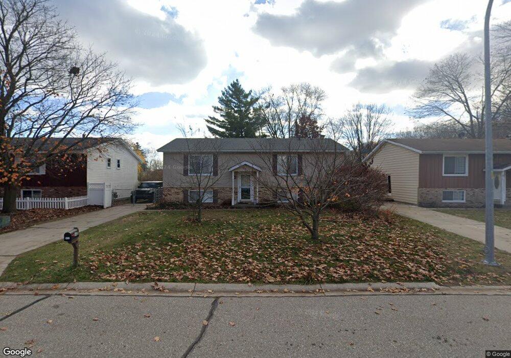
1438 Hazelwood Ln Port Huron, MI 48060
Estimated Value: $244,000 - $267,716
2
Beds
3
Baths
1,760
Sq Ft
$145/Sq Ft
Est. Value
About This Home
This home is located at 1438 Hazelwood Ln, Port Huron, MI 48060 and is currently estimated at $255,929, approximately $145 per square foot. 1438 Hazelwood Ln is a home located in St. Clair County with nearby schools including Garfield Elementary School, Holland Woods Middle School, and Port Huron Northern High School.
Ownership History
Date
Name
Owned For
Owner Type
Purchase Details
Closed on
Aug 9, 2021
Sold by
St Onge Diane E and Ptaszynski Gerald A
Bought by
Ptaszynski Gerald A
Current Estimated Value
Home Financials for this Owner
Home Financials are based on the most recent Mortgage that was taken out on this home.
Original Mortgage
$162,657
Interest Rate
2.9%
Mortgage Type
VA
Create a Home Valuation Report for This Property
The Home Valuation Report is an in-depth analysis detailing your home's value as well as a comparison with similar homes in the area
Home Values in the Area
Average Home Value in this Area
Purchase History
| Date | Buyer | Sale Price | Title Company |
|---|---|---|---|
| Ptaszynski Gerald A | -- | Closing Usa Llc |
Source: Public Records
Mortgage History
| Date | Status | Borrower | Loan Amount |
|---|---|---|---|
| Closed | Ptaszynski Gerald A | $162,657 |
Source: Public Records
Tax History Compared to Growth
Tax History
| Year | Tax Paid | Tax Assessment Tax Assessment Total Assessment is a certain percentage of the fair market value that is determined by local assessors to be the total taxable value of land and additions on the property. | Land | Improvement |
|---|---|---|---|---|
| 2025 | $2,629 | $120,600 | $0 | $0 |
| 2024 | $2,259 | $111,100 | $0 | $0 |
| 2023 | $2,134 | $98,800 | $0 | $0 |
| 2022 | $2,267 | $86,700 | $0 | $0 |
| 2021 | $2,152 | $81,200 | $0 | $0 |
| 2020 | $2,176 | $69,800 | $69,800 | $0 |
| 2019 | $2,137 | $60,500 | $0 | $0 |
| 2018 | $2,090 | $60,500 | $0 | $0 |
| 2017 | $1,866 | $55,200 | $0 | $0 |
| 2016 | $1,600 | $55,200 | $0 | $0 |
| 2015 | $1,570 | $49,100 | $49,100 | $0 |
| 2014 | $1,570 | $44,800 | $44,800 | $0 |
| 2013 | -- | $43,100 | $0 | $0 |
Source: Public Records
Map
Nearby Homes
- 1424 Hazelwood Ln
- 3321 Stone St
- 3214 Poplar St
- 1020 Sanborn St
- 3455 Gratiot Ave
- 3208 Mount Vernon Rd
- 3419 Riverside Dr
- 1202 Palmer Ct
- 2913 11th Ave
- 1531 Robinson St
- 1434 Schumaker St
- 1218 Garfield St
- 2812 19th Ave
- 3515 Strawberry Ln
- 1116 Hancock St
- 2857 Riverside Dr
- 2215 Hancock St
- 2400 Stone St Unit 2414
- 2419 Cherry St
- 909 Elmwood St
- 0 Williamsburgh Dr Unit G31197150
- 1432 Hazelwood Ln
- 3504 Williamsburg Dr
- 1444 Hazelwood Ln Unit Bldg-Unit
- 1444 Hazelwood Ln
- 3510 Williamsburg Dr Unit 3512
- 3505 Williamsburg Dr
- 1433 Devonshire Ln
- 1437 Devonshire Ln
- 1423 Devonshire Ln
- 1443 Devonshire Ln
- 3460 Appomattox Dr Unit 3462
- 3505 Shenandoah Ave
- 0 Williamsburg Dr
- 1447 Devonshire Ln
- 3515 Williamsburg Dr Unit 3517
- 3511 Shenandoah Ave
- 0 Hazelwood Ln
- 3518 Williamsburg Dr Unit 3520
- 3430 Shenandoah Ave