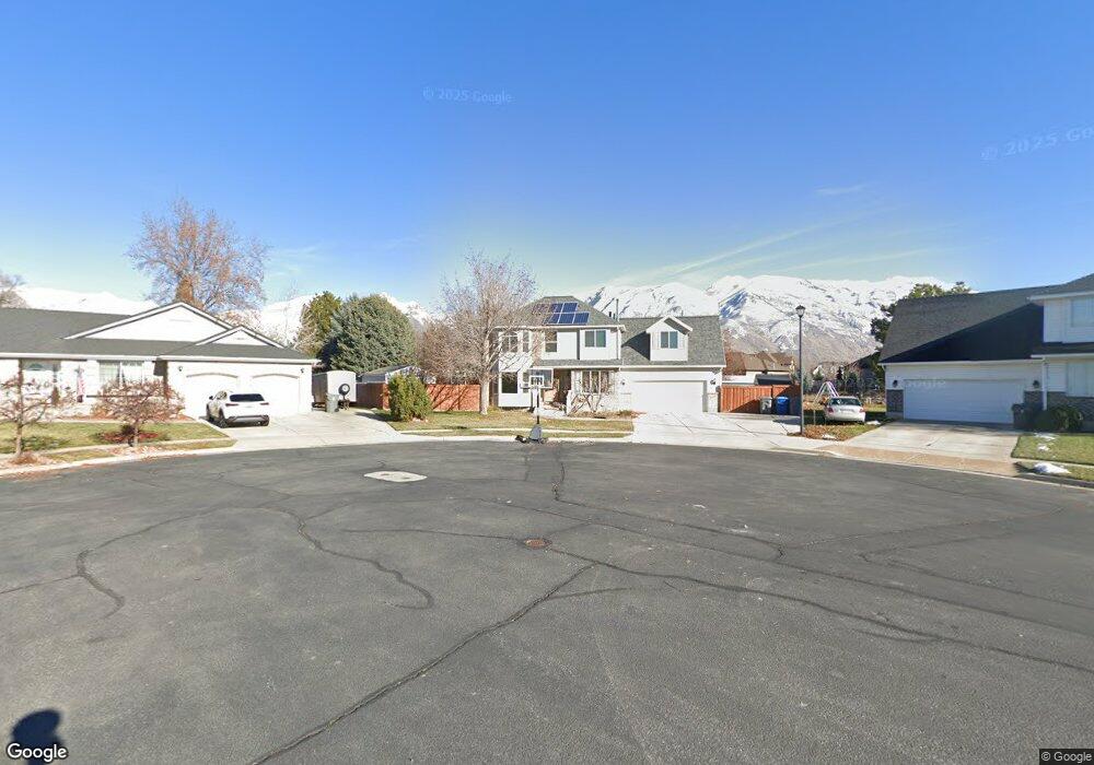
1438 N 20 E American Fork, UT 84003
Estimated Value: $598,000 - $648,000
5
Beds
4
Baths
2,514
Sq Ft
$249/Sq Ft
Est. Value
About This Home
This home is located at 1438 N 20 E, American Fork, UT 84003 and is currently estimated at $626,261, approximately $249 per square foot. 1438 N 20 E is a home located in Utah County with nearby schools including Legacy Elementary School, American Fork Junior High School, and American Fork High School.
Ownership History
Date
Name
Owned For
Owner Type
Purchase Details
Closed on
Jun 1, 2020
Sold by
Martinez Fred C and Martinez Kathleen J
Bought by
Handy Jeffrey
Current Estimated Value
Home Financials for this Owner
Home Financials are based on the most recent Mortgage that was taken out on this home.
Original Mortgage
$352,000
Outstanding Balance
$312,603
Interest Rate
3.3%
Mortgage Type
New Conventional
Estimated Equity
$313,658
Purchase Details
Closed on
Jul 10, 2008
Sold by
Helman Roger and Helman Cathy
Bought by
Martinez Fred C and Martinez Kathleen J
Purchase Details
Closed on
Apr 22, 2003
Sold by
Helman Roger and Helman Cathy
Bought by
Helman Roger and Helman Cathy
Create a Home Valuation Report for This Property
The Home Valuation Report is an in-depth analysis detailing your home's value as well as a comparison with similar homes in the area
Home Values in the Area
Average Home Value in this Area
Purchase History
| Date | Buyer | Sale Price | Title Company |
|---|---|---|---|
| Handy Jeffrey | -- | Inwest Title Orem | |
| Martinez Fred C | -- | Equity Title Production F | |
| Helman Roger | -- | Backman Stewart Title Servi |
Source: Public Records
Mortgage History
| Date | Status | Borrower | Loan Amount |
|---|---|---|---|
| Open | Handy Jeffrey | $352,000 |
Source: Public Records
Tax History
| Year | Tax Paid | Tax Assessment Tax Assessment Total Assessment is a certain percentage of the fair market value that is determined by local assessors to be the total taxable value of land and additions on the property. | Land | Improvement |
|---|---|---|---|---|
| 2025 | $2,660 | $320,155 | -- | -- |
| 2024 | $2,660 | $295,515 | $0 | $0 |
| 2023 | $2,530 | $297,990 | $0 | $0 |
| 2022 | $2,659 | $309,155 | $0 | $0 |
| 2021 | $2,274 | $412,900 | $184,800 | $228,100 |
| 2020 | $2,125 | $374,300 | $165,000 | $209,300 |
| 2019 | $1,987 | $361,900 | $152,600 | $209,300 |
| 2018 | $1,927 | $335,600 | $144,400 | $191,200 |
| 2017 | $1,867 | $175,505 | $0 | $0 |
| 2016 | $1,777 | $155,210 | $0 | $0 |
| 2015 | $1,745 | $144,650 | $0 | $0 |
| 2014 | $1,704 | $139,315 | $0 | $0 |
Source: Public Records
Map
Nearby Homes
- 9643 N 5650 W
- 35 W 1350 N
- 5995 W 9600 N
- 9796 N 5800 W
- 1309 N 200 E
- 1065 N 100 E
- 5537 W Kensington Cir
- 894 N 60 E
- 10197 N 5750 W
- 1029 N 250 W
- 4650 W Magnolia Drive Dr Unit 8
- 10238 N 6530 W Unit 15
- 941 E S Ellens St Lot 3 St N Unit LOT 3
- 5277 N 11200 W Unit 4
- 5284 N 11200 W Unit 3
- 603 S 370 E
- 234 W 1080 N
- 1016 N 250 W
- 5747 W Yorkshire Ct
- 822 N 150 E Unit 5
Your Personal Tour Guide
Ask me questions while you tour the home.