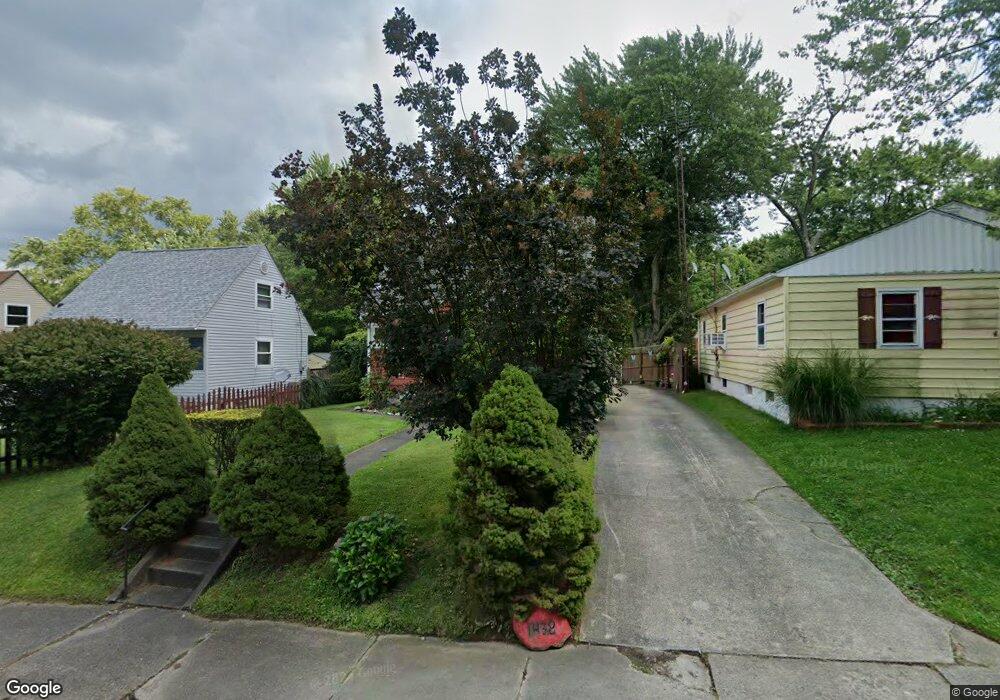
1438 Wade Ave Alliance, OH 44601
Estimated Value: $81,998 - $97,000
2
Beds
1
Bath
792
Sq Ft
$115/Sq Ft
Est. Value
About This Home
This home is located at 1438 Wade Ave, Alliance, OH 44601 and is currently estimated at $90,750, approximately $114 per square foot. 1438 Wade Ave is a home located in Stark County with nearby schools including Alliance Elementary School at Rockhill, Alliance Intermediate School at Northside, and Alliance Middle School.
Ownership History
Date
Name
Owned For
Owner Type
Purchase Details
Closed on
Aug 25, 2009
Sold by
Niemeyer William and Niemeyer Elizabeth
Bought by
Staghorn Properties Ltd
Current Estimated Value
Purchase Details
Closed on
Feb 4, 2009
Sold by
Secretary Of Housing & Urban Development
Bought by
Niemeyer William and Niemeyer Elizabeth
Purchase Details
Closed on
Aug 12, 2008
Sold by
Black Roseanna
Bought by
Secretary Of Housing & Urban Development
Purchase Details
Closed on
Jun 12, 1997
Sold by
Rhoads James
Bought by
Black Roseanna
Home Financials for this Owner
Home Financials are based on the most recent Mortgage that was taken out on this home.
Original Mortgage
$48,350
Interest Rate
8.13%
Mortgage Type
FHA
Create a Home Valuation Report for This Property
The Home Valuation Report is an in-depth analysis detailing your home's value as well as a comparison with similar homes in the area
Home Values in the Area
Average Home Value in this Area
Purchase History
| Date | Buyer | Sale Price | Title Company |
|---|---|---|---|
| Staghorn Properties Ltd | -- | Attorney | |
| Niemeyer William | $15,000 | Lakeside Title & Escrow Agen | |
| Secretary Of Housing & Urban Development | $32,000 | None Available | |
| Black Roseanna | $48,000 | -- |
Source: Public Records
Mortgage History
| Date | Status | Borrower | Loan Amount |
|---|---|---|---|
| Previous Owner | Black Roseanna | $48,350 |
Source: Public Records
Tax History Compared to Growth
Tax History
| Year | Tax Paid | Tax Assessment Tax Assessment Total Assessment is a certain percentage of the fair market value that is determined by local assessors to be the total taxable value of land and additions on the property. | Land | Improvement |
|---|---|---|---|---|
| 2025 | -- | $17,220 | $5,110 | $12,110 |
| 2024 | $361 | $17,220 | $5,110 | $12,110 |
| 2023 | $690 | $15,960 | $4,900 | $11,060 |
| 2022 | $661 | $15,960 | $4,900 | $11,060 |
| 2021 | $663 | $15,960 | $4,900 | $11,060 |
| 2020 | $581 | $13,060 | $4,270 | $8,790 |
| 2019 | $573 | $13,060 | $4,270 | $8,790 |
| 2018 | $576 | $13,060 | $4,270 | $8,790 |
| 2017 | $495 | $11,030 | $3,570 | $7,460 |
| 2016 | $499 | $11,030 | $3,570 | $7,460 |
| 2015 | $483 | $10,570 | $3,570 | $7,000 |
| 2014 | $462 | $9,630 | $3,260 | $6,370 |
| 2013 | $230 | $9,630 | $3,260 | $6,370 |
Source: Public Records
Map
Nearby Homes
- 815 Grace St
- 1395 S Webb Ave
- 1233 Woodland Ave
- 729 Waugh St
- 551 South St
- 1044 S Liberty Ave
- 814 Milner St
- 1175 S Freedom Ave
- 1846 S Freedom Ave
- 1437 S Linden Ave
- 390 E College St
- 831 Wade Ave
- 1005 S Freedom Ave
- 317 E State St
- 1475 Chatauqua Ct
- 112 E College St
- 452 E Summit St
- 853 Fairway Dr
- 442 S Liberty Ave
- 432 S Linden Ave
- 1448 Wade Ave
- 1428 Wade Ave
- 1435 Wade Ave
- 1458 Wade Ave
- 1422 Wade Ave
- 1412 Wade Ave
- 1466 Wade Ave
- 1421 Wade Ave
- 1512 Wade Ave
- 1411 Wade Ave
- 1522 Wade Ave
- 1442 S Morgan Ave
- 1452 S Morgan Ave
- 1521 Wade Ave
- 1434 S Morgan Ave
- 1460 S Morgan Ave
- 1530 Wade Ave
- 1504 S Morgan Ave
- 1529 Wade Ave
- 1416 S Morgan Ave