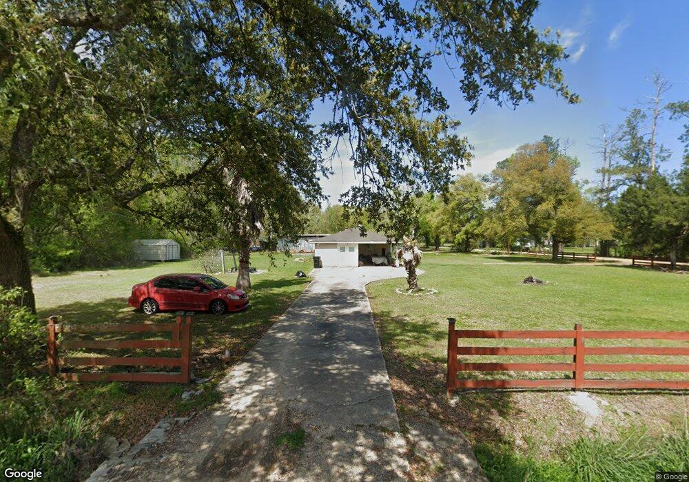
14385 Giluso Rd Hammond, LA 70401
Estimated Value: $182,000 - $211,000
3
Beds
2
Baths
1,505
Sq Ft
$130/Sq Ft
Est. Value
About This Home
This home is located at 14385 Giluso Rd, Hammond, LA 70401 and is currently estimated at $195,744, approximately $130 per square foot. 14385 Giluso Rd is a home located in Tangipahoa Parish with nearby schools including Hammond Westside Montessori, Hammond High Magnet School, and Holy Ghost Catholic School.
Ownership History
Date
Name
Owned For
Owner Type
Purchase Details
Closed on
Sep 16, 2009
Sold by
Jackson Donald Ray
Bought by
Pitts Christopher Lamont and Mcknight Pamela Lorraine
Current Estimated Value
Home Financials for this Owner
Home Financials are based on the most recent Mortgage that was taken out on this home.
Original Mortgage
$141,780
Outstanding Balance
$92,393
Interest Rate
5.12%
Mortgage Type
New Conventional
Estimated Equity
$103,351
Create a Home Valuation Report for This Property
The Home Valuation Report is an in-depth analysis detailing your home's value as well as a comparison with similar homes in the area
Home Values in the Area
Average Home Value in this Area
Purchase History
| Date | Buyer | Sale Price | Title Company |
|---|---|---|---|
| Pitts Christopher Lamont | $139,000 | None Available |
Source: Public Records
Mortgage History
| Date | Status | Borrower | Loan Amount |
|---|---|---|---|
| Open | Pitts Christopher Lamont | $141,780 |
Source: Public Records
Tax History Compared to Growth
Tax History
| Year | Tax Paid | Tax Assessment Tax Assessment Total Assessment is a certain percentage of the fair market value that is determined by local assessors to be the total taxable value of land and additions on the property. | Land | Improvement |
|---|---|---|---|---|
| 2024 | $1,445 | $12,644 | $1,814 | $10,830 |
| 2023 | $1,413 | $12,274 | $1,680 | $10,594 |
| 2022 | $1,413 | $12,274 | $1,680 | $10,594 |
| 2021 | $555 | $12,274 | $1,680 | $10,594 |
| 2020 | $1,412 | $12,274 | $1,680 | $10,594 |
| 2019 | $1,409 | $12,274 | $1,680 | $10,594 |
| 2018 | $1,413 | $12,274 | $1,680 | $10,594 |
| 2017 | $1,413 | $12,274 | $1,680 | $10,594 |
| 2016 | $1,413 | $12,274 | $1,680 | $10,594 |
| 2015 | $578 | $12,510 | $1,680 | $10,830 |
| 2014 | $557 | $12,510 | $1,680 | $10,830 |
Source: Public Records
Map
Nearby Homes
- 14474 University Ave
- 2113 Cherie Dr
- 2107 Cherie Dr
- 14497 University Ave
- 45519 Tranquil Trace
- 14281 W University Ave
- 2203 Westdale Ct
- 0 University Park Dr
- 0 W University Ave
- 1107 W University Ave
- 4.5 +/- W University Ave
- 14394 Iverstine Ln
- 0 T Hardy Dr Unit 2507785
- 1904 N Morrison Blvd
- 45379 Puma Dr
- 45519 Puma Dr
- 2100 N Morrison Blvd
- 46011 N Puma Dr
- 14343 Giluso Rd
- 14403 Giluso Rd
- 0 George Dr
- 45388 George Dr
- 14374 Giluso Rd
- 45376 George Dr
- 45387 George Dr
- 14431 Giluso Rd
- 45364 George Dr
- 45375 George Dr
- 0 Giluso Dr
- 45363 George Dr
- 45352 George Dr
- 14302 Giluso Rd
- 45349 George Dr
- 45302 George Dr
- 2210 Cherie Dr
- 2300 Cherie Dr
- 2208 Cherie Dr
- 2302 Cherie Dr