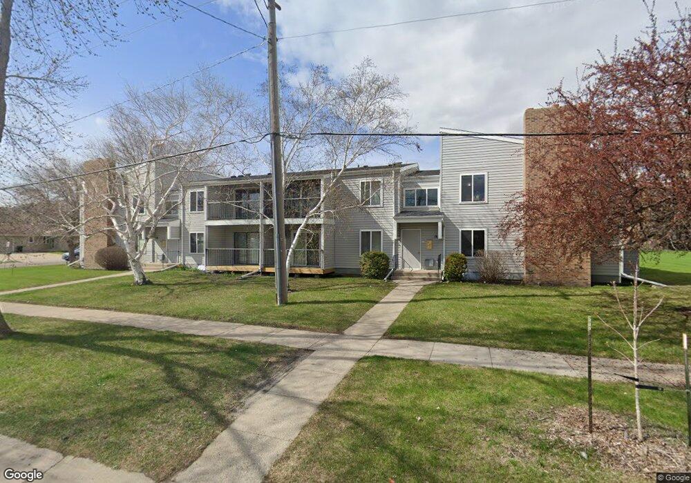
1439 25th Ave S Unit A1 Fargo, ND 58103
Brunsdale NeighborhoodEstimated Value: $129,000 - $159,000
--
Bed
--
Bath
1,080
Sq Ft
$139/Sq Ft
Est. Value
About This Home
This home is located at 1439 25th Ave S Unit A1, Fargo, ND 58103 and is currently estimated at $150,547, approximately $139 per square foot. 1439 25th Ave S Unit A1 is a home located in Cass County with nearby schools including Lincoln Elementary School, Carl Ben Eielson Middle School, and South High School.
Ownership History
Date
Name
Owned For
Owner Type
Purchase Details
Closed on
Nov 10, 2017
Sold by
Crary Timothy and Crary Sandra
Bought by
Crary Properties Llc
Current Estimated Value
Home Financials for this Owner
Home Financials are based on the most recent Mortgage that was taken out on this home.
Original Mortgage
$60,000
Outstanding Balance
$33,037
Interest Rate
3.91%
Mortgage Type
New Conventional
Estimated Equity
$117,510
Purchase Details
Closed on
Feb 16, 2010
Sold by
Crary Timothy L and Crary Sandra
Bought by
Crary Properties Llc
Create a Home Valuation Report for This Property
The Home Valuation Report is an in-depth analysis detailing your home's value as well as a comparison with similar homes in the area
Home Values in the Area
Average Home Value in this Area
Purchase History
| Date | Buyer | Sale Price | Title Company |
|---|---|---|---|
| Crary Properties Llc | $90,000 | Title Co | |
| Crary Properties Llc | -- | -- |
Source: Public Records
Mortgage History
| Date | Status | Borrower | Loan Amount |
|---|---|---|---|
| Open | Crary Properties Llc | $60,000 |
Source: Public Records
Tax History Compared to Growth
Tax History
| Year | Tax Paid | Tax Assessment Tax Assessment Total Assessment is a certain percentage of the fair market value that is determined by local assessors to be the total taxable value of land and additions on the property. | Land | Improvement |
|---|---|---|---|---|
| 2024 | $1,386 | $68,050 | $5,800 | $62,250 |
| 2023 | $1,711 | $61,850 | $5,800 | $56,050 |
| 2022 | $1,628 | $57,800 | $5,800 | $52,000 |
| 2021 | $1,604 | $57,950 | $9,350 | $48,600 |
| 2020 | $1,565 | $57,950 | $9,350 | $48,600 |
| 2019 | $1,494 | $55,200 | $5,200 | $50,000 |
| 2018 | $1,475 | $55,200 | $5,200 | $50,000 |
| 2017 | $1,360 | $52,550 | $5,200 | $47,350 |
| 2016 | $1,202 | $51,000 | $5,200 | $45,800 |
| 2015 | $1,179 | $46,900 | $3,900 | $43,000 |
| 2014 | $1,209 | $46,900 | $3,900 | $43,000 |
| 2013 | $1,210 | $46,900 | $3,900 | $43,000 |
Source: Public Records
Map
Nearby Homes
- 2440 15th St S Unit B14
- 2318 15th St S Unit C11
- 1401 25th Ave S Unit B204
- 1008 24th Ave S
- 2517 W Country Club Dr S Unit 10
- 2208 10th St S
- 2309 9th St S
- 1838 17th St S
- 2402 18th St S Unit 3
- 2636 18th St S Unit 3
- 2636 18th St S Unit 8
- 1901 18th St S
- 2308 18th St S Unit H
- 1943 19th St S
- 1937 19th St S
- 1745 15th St S
- 1802 27th Ave S
- 1439 25th Ave S Unit A2
- 1439 25th Ave S Unit A4
- 1439 25th Ave S Unit A3
- 1439 25th Ave S
- 1439 25th Ave S Unit 201
- 1439 25th Ave S Unit 102
- 1439 25th Ave S Unit 202
- 2450 15th St S Unit B12
- 2450 15th St S Unit B11
- 2450 15th St S Unit B10
- 2450 15th St S Unit B09
- 2450 15th St S
- 2450 15th St S Unit 101
- 2450 15th St S Unit 202
- 2450 15th St S Unit 102
- 2450 15th St S Unit 201
- 2440 15th St S Unit B16
- 2440 15th St S Unit B15
- 2440 15th St S Unit B13
- 2440 15th St S Unit B