1439 Collar Price Rd Hubbard, OH 44425
Estimated Value: $254,000 - $429,000
3
Beds
2
Baths
1,974
Sq Ft
$161/Sq Ft
Est. Value
About This Home
This home is located at 1439 Collar Price Rd, Hubbard, OH 44425 and is currently estimated at $318,400, approximately $161 per square foot. 1439 Collar Price Rd is a home located in Trumbull County with nearby schools including Brookfield Elementary School, Brookfield Middle School, and Brookfield High School.
Ownership History
Date
Name
Owned For
Owner Type
Purchase Details
Closed on
Jul 6, 2022
Sold by
Majovsky Joseph E and Majovsky Theresa M
Bought by
Majovsky Joseph E
Current Estimated Value
Home Financials for this Owner
Home Financials are based on the most recent Mortgage that was taken out on this home.
Original Mortgage
$168,769
Interest Rate
5.13%
Mortgage Type
Balloon
Purchase Details
Closed on
May 5, 2011
Sold by
Stefan Nancy R
Bought by
Majovsky Joseph E and Majovsky Theresa M
Home Financials for this Owner
Home Financials are based on the most recent Mortgage that was taken out on this home.
Original Mortgage
$152,000
Interest Rate
4.88%
Mortgage Type
New Conventional
Purchase Details
Closed on
Apr 17, 2002
Sold by
Fairchild Margaret
Bought by
Fairchild Shane L
Purchase Details
Closed on
Jan 1, 1990
Bought by
Ronald J Stefan
Create a Home Valuation Report for This Property
The Home Valuation Report is an in-depth analysis detailing your home's value as well as a comparison with similar homes in the area
Home Values in the Area
Average Home Value in this Area
Purchase History
| Date | Buyer | Sale Price | Title Company |
|---|---|---|---|
| Majovsky Joseph E | $125 | -- | |
| Majovsky Joseph E | $160,000 | Attorney | |
| Fairchild Shane L | -- | -- | |
| Ronald J Stefan | -- | -- |
Source: Public Records
Mortgage History
| Date | Status | Borrower | Loan Amount |
|---|---|---|---|
| Previous Owner | Majovsky Joseph E | $168,769 | |
| Previous Owner | Majovsky Joseph E | $152,000 |
Source: Public Records
Tax History Compared to Growth
Tax History
| Year | Tax Paid | Tax Assessment Tax Assessment Total Assessment is a certain percentage of the fair market value that is determined by local assessors to be the total taxable value of land and additions on the property. | Land | Improvement |
|---|---|---|---|---|
| 2024 | $3,377 | $73,290 | $14,910 | $58,380 |
| 2023 | $3,377 | $73,290 | $14,910 | $58,380 |
| 2022 | $2,977 | $52,370 | $13,620 | $38,750 |
| 2021 | $2,790 | $52,370 | $13,620 | $38,750 |
| 2020 | $2,772 | $52,370 | $13,620 | $38,750 |
| 2019 | $2,679 | $47,180 | $12,600 | $34,580 |
| 2018 | $2,655 | $47,180 | $12,600 | $34,580 |
| 2017 | $2,652 | $47,180 | $12,600 | $34,580 |
| 2016 | $2,790 | $47,710 | $14,000 | $33,710 |
| 2015 | $2,794 | $47,710 | $14,000 | $33,710 |
| 2014 | $2,781 | $47,710 | $14,000 | $33,710 |
| 2013 | $2,875 | $50,230 | $14,000 | $36,230 |
Source: Public Records
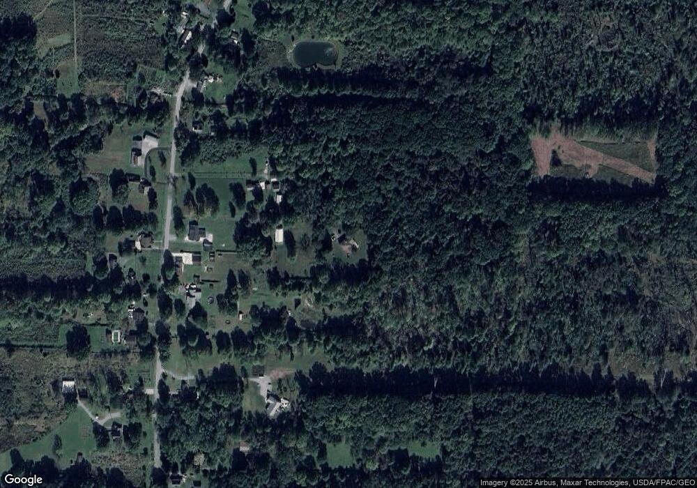
Map
Nearby Homes
- 6855 Stewart Sharon Rd
- 7111 Pine Grove Dr
- 5910 Chestnut Ridge Rd
- 1911 Hubbard Thomas Rd
- 1354 Stevenson Rd
- 1441 Warner Rd
- 5683 Chestnut Ridge Rd
- 1472 Warner Rd
- 7370 Brookwood Dr
- 1975 Warner Rd
- 7737 Elm St
- 6984 Warren Sharon Rd
- 7086 Warren Sharon Rd
- 1952 Hubbard Masury Rd
- 6220 Warren Sharon Rd
- 6333 Warren Sharon Rd
- 7091 Warren Sharon Rd
- 7822 2nd St
- 5950 Mount Everett Rd
- 6130 Warren Sharon Rd
- 1415 Collar Price Rd
- 1441 Collar Price Rd
- 1469 Collar Price Rd
- 1455 Collar Price Rd
- 1393 Collar Price Rd
- 1444 Collar Price Rd
- 1373 Collar Price Rd
- 1460 Collar Price Rd
- 1470 Collar Price Rd
- 1533 Collar Price Rd
- 1355 Collar Price Rd
- 1480 Collar Price Rd
- 1380 Collar Price Rd
- 1343 Collar Price Rd
- 1331 Collar Price Rd
- 1504 Collar Price Rd
- 1541 Collar Price Rd
- 1518 Collar Price Rd
- 1338 Collar Price Rd
- 1571 Collar Price Rd